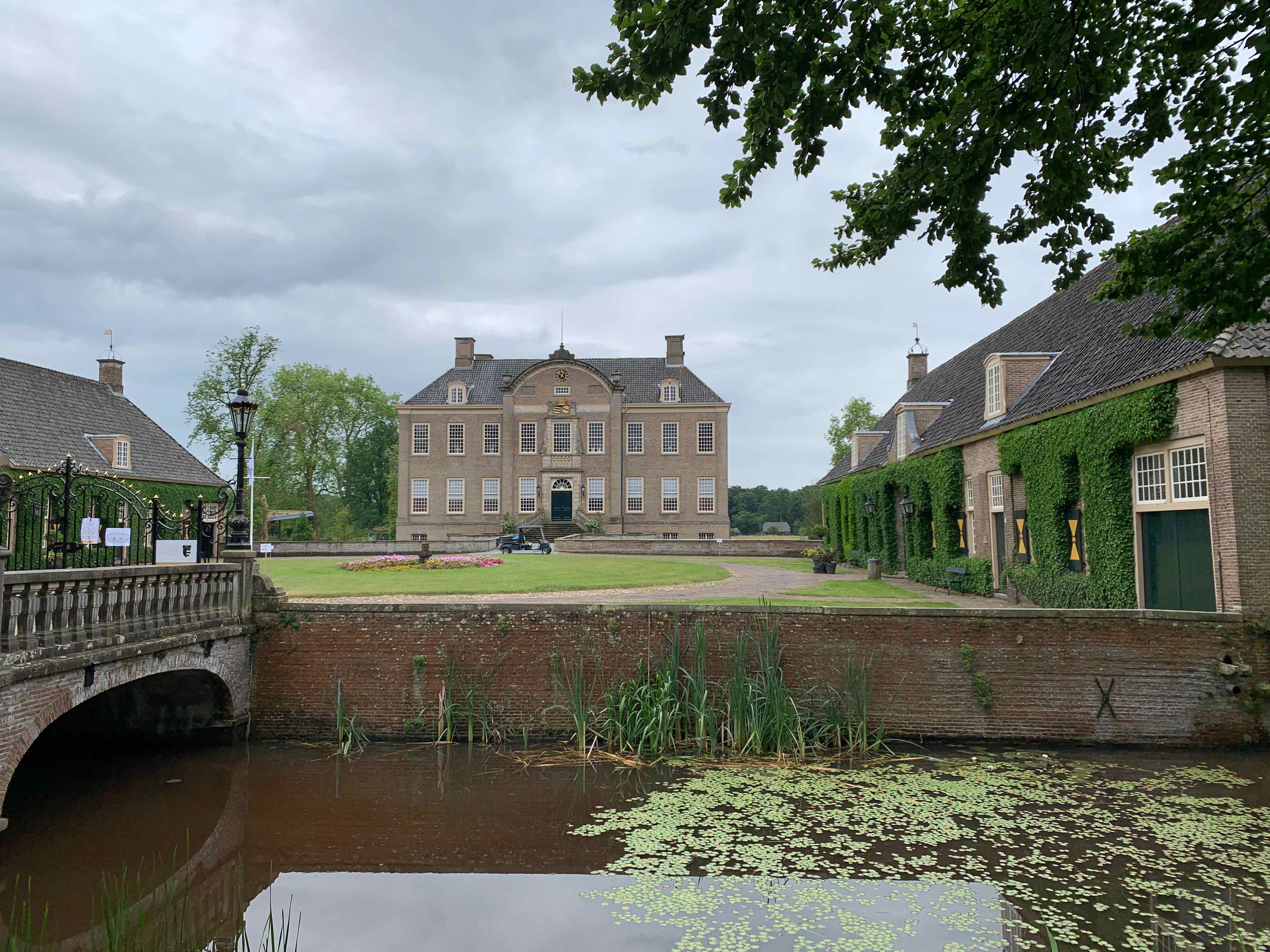
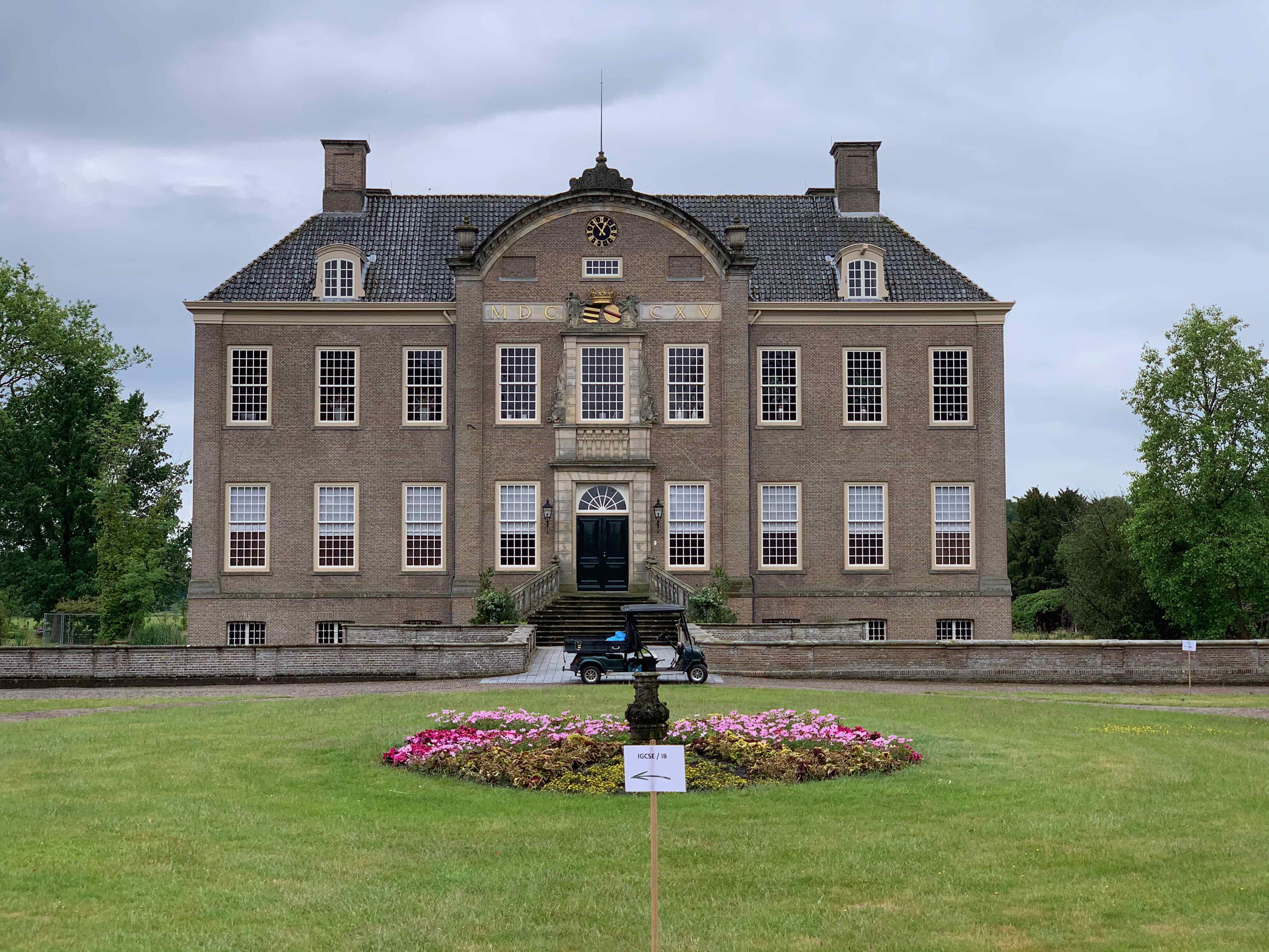
Landgoed Eerde, also known as Eerde Estate, is a historic estate located in Ommen. It is situated in the province of Overijssel and is known for its beautiful natural surroundings, historic buildings, and educational activities.
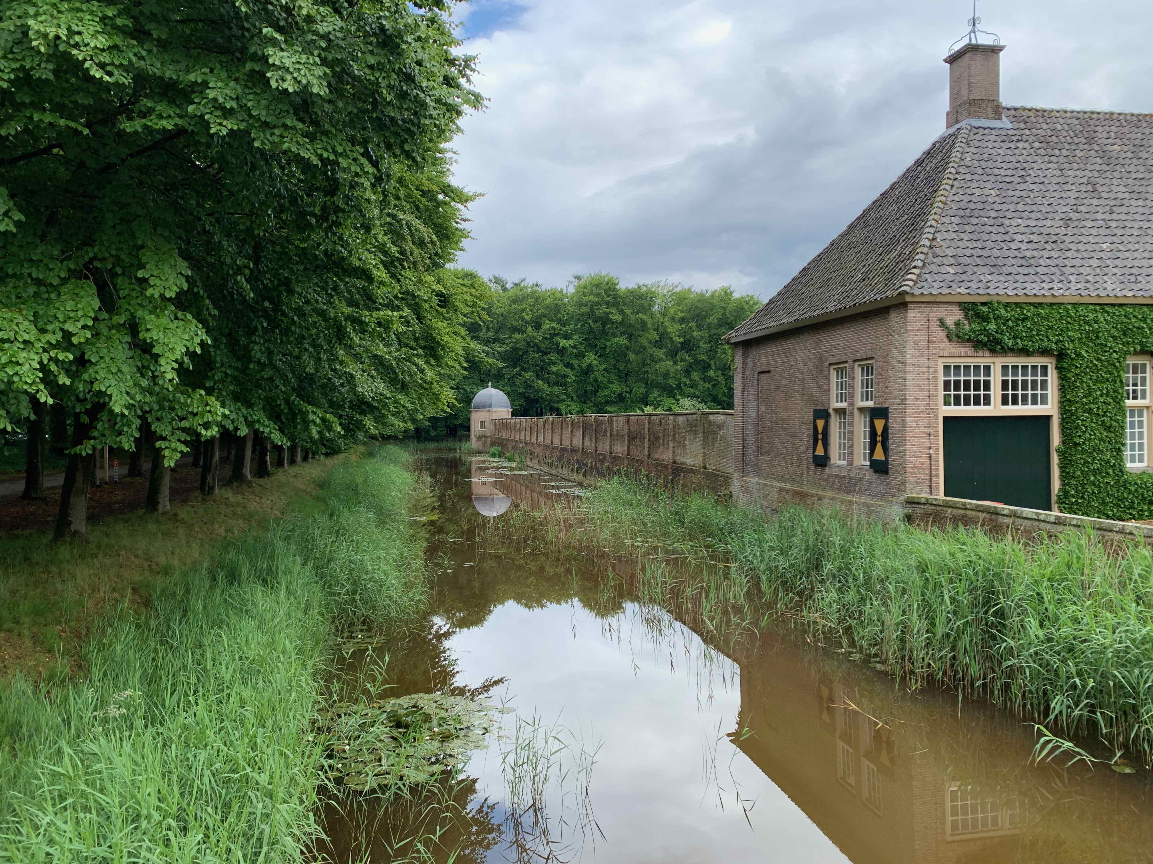
The estate dates back to the 18th century and was originally owned by the noble Bentinck family. The main building on the estate is Eerde Castle (Kasteel Eerde), an impressive country house constructed in a neo-Gothic style. The castle is surrounded by landscaped gardens, including a rose garden and a maze.
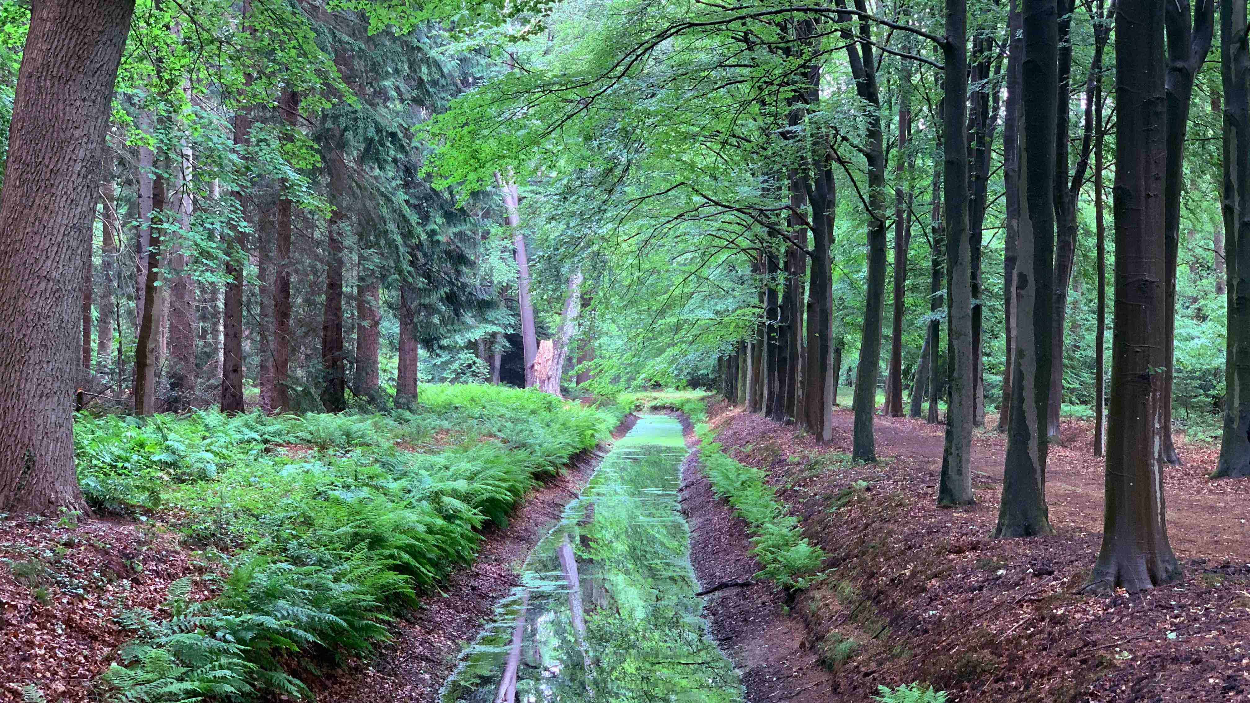
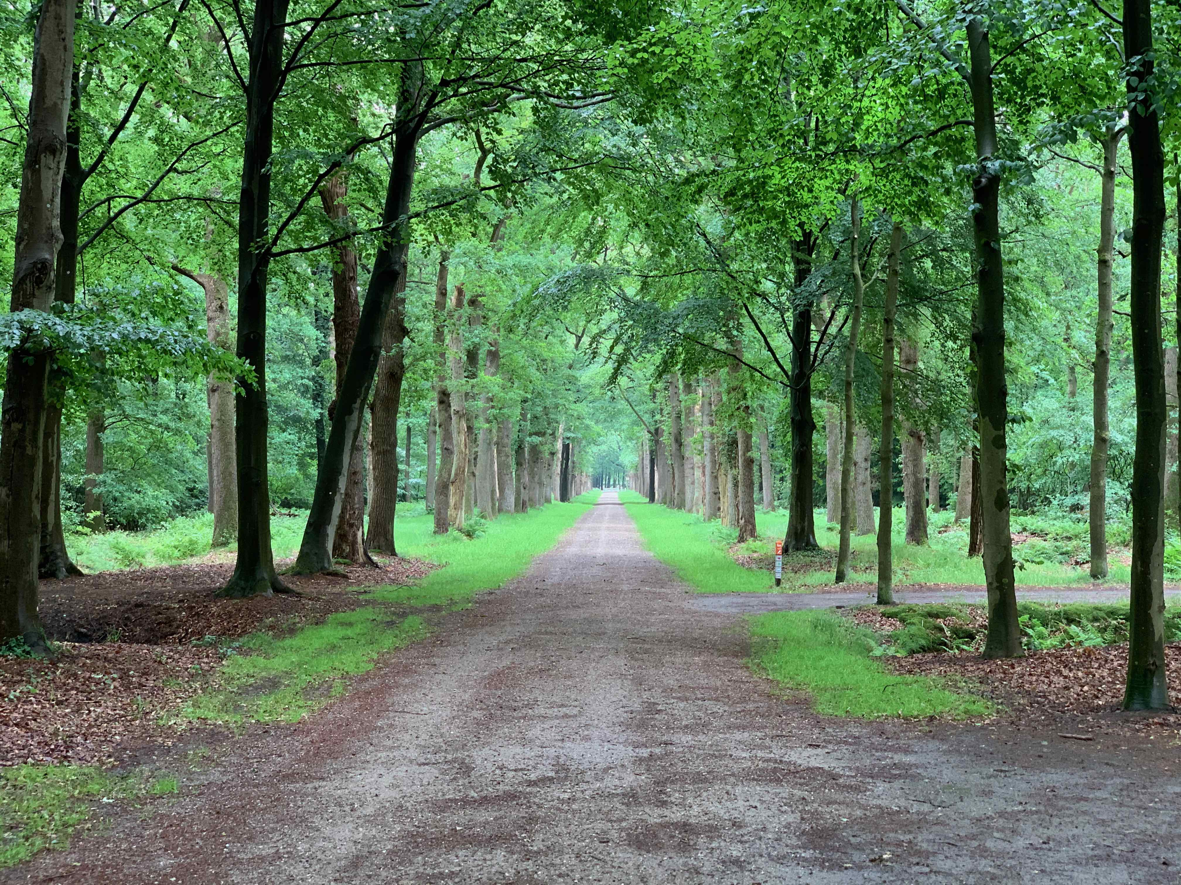
Landgoed Eerde is known for its extensive woodlands, meadows, and scenic landscapes. The estate offers several walking and cycling trails, allowing visitors to explore its natural beauty. The area is home to diverse flora and fauna, making it a popular destination for nature enthusiasts and birdwatchers.
The estate is also notable for its educational initiatives. It houses an international school, known as the International School Eerde, which provides education to students from various nationalities. The school is housed in historic buildings on the estate and offers a unique learning environment.
Landgoed Eerde welcomes visitors who wish to explore the estate and its surroundings. Guided tours of Eerde Castle are available, providing insights into its history and architecture. The estate's grounds are open to the public, allowing visitors to enjoy the gardens and the peaceful atmosphere.
The estate is located near the town of Ommen in Overijssel. It can be reached by car, and parking facilities are available. The region offers other attractions, including the Vechtdal outdoor area and the scenic Sallandse Heuvelrug National Park, which are worth exploring while in the area.
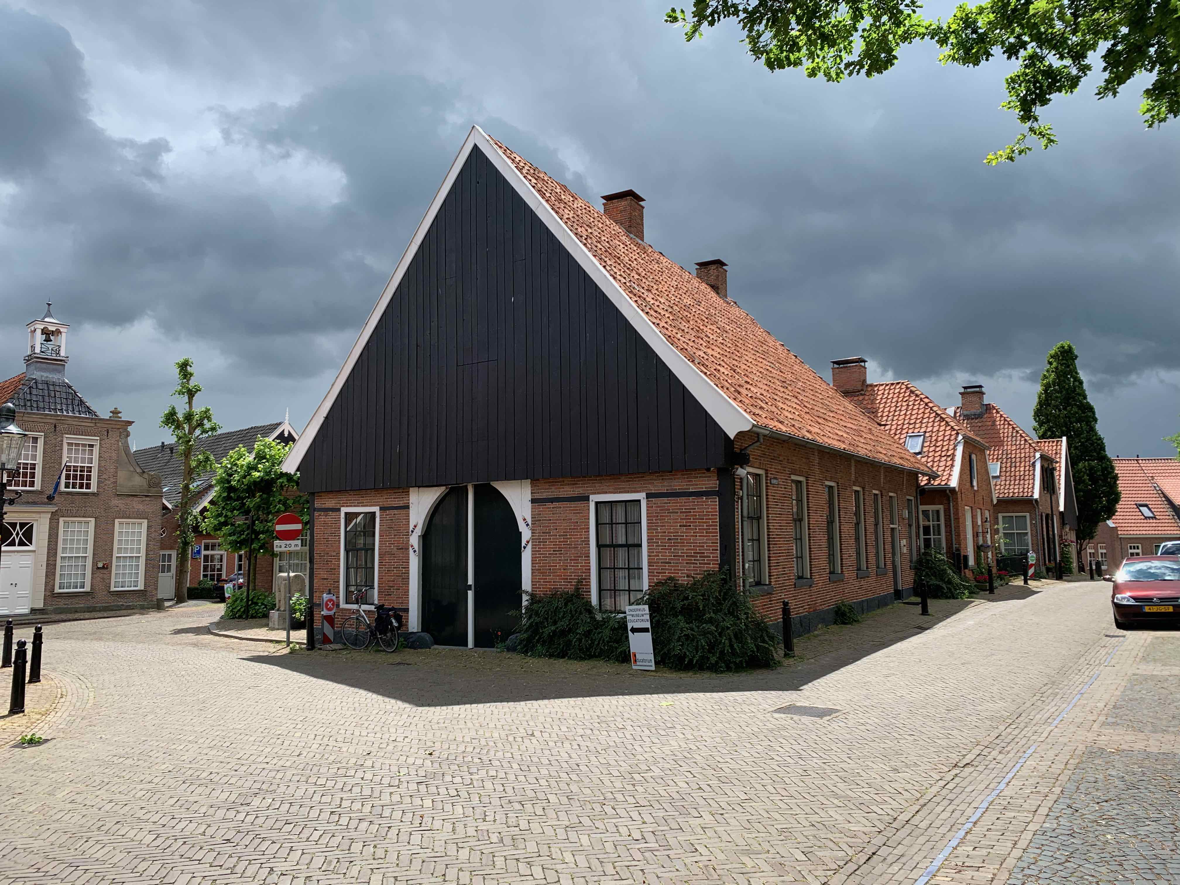
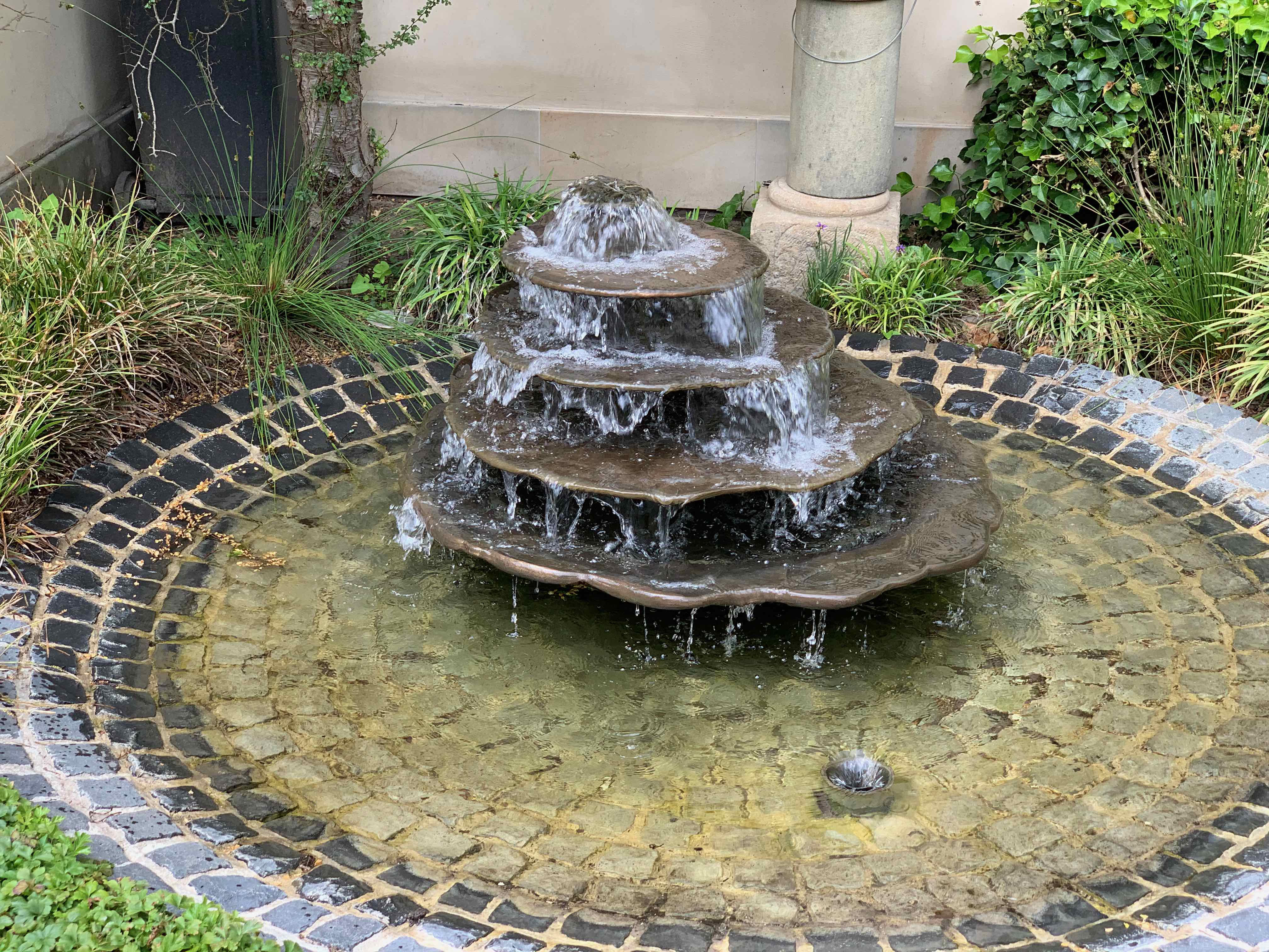
Ootmarsum is a charming town, known for its historical significance, cultural heritage, and artistic character, Ootmarsum attracts visitors with its picturesque streets, art galleries, and traditional architecture.
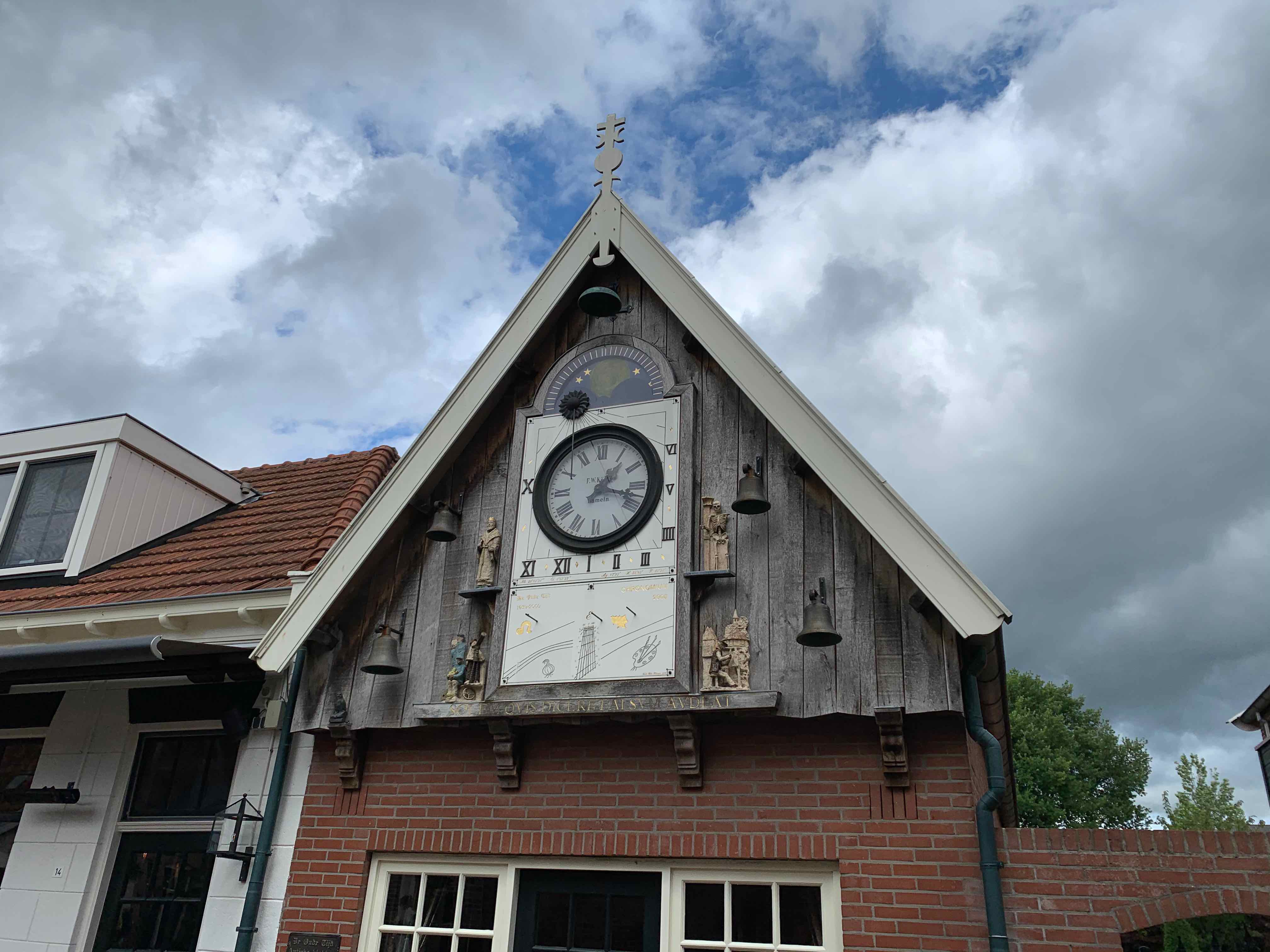
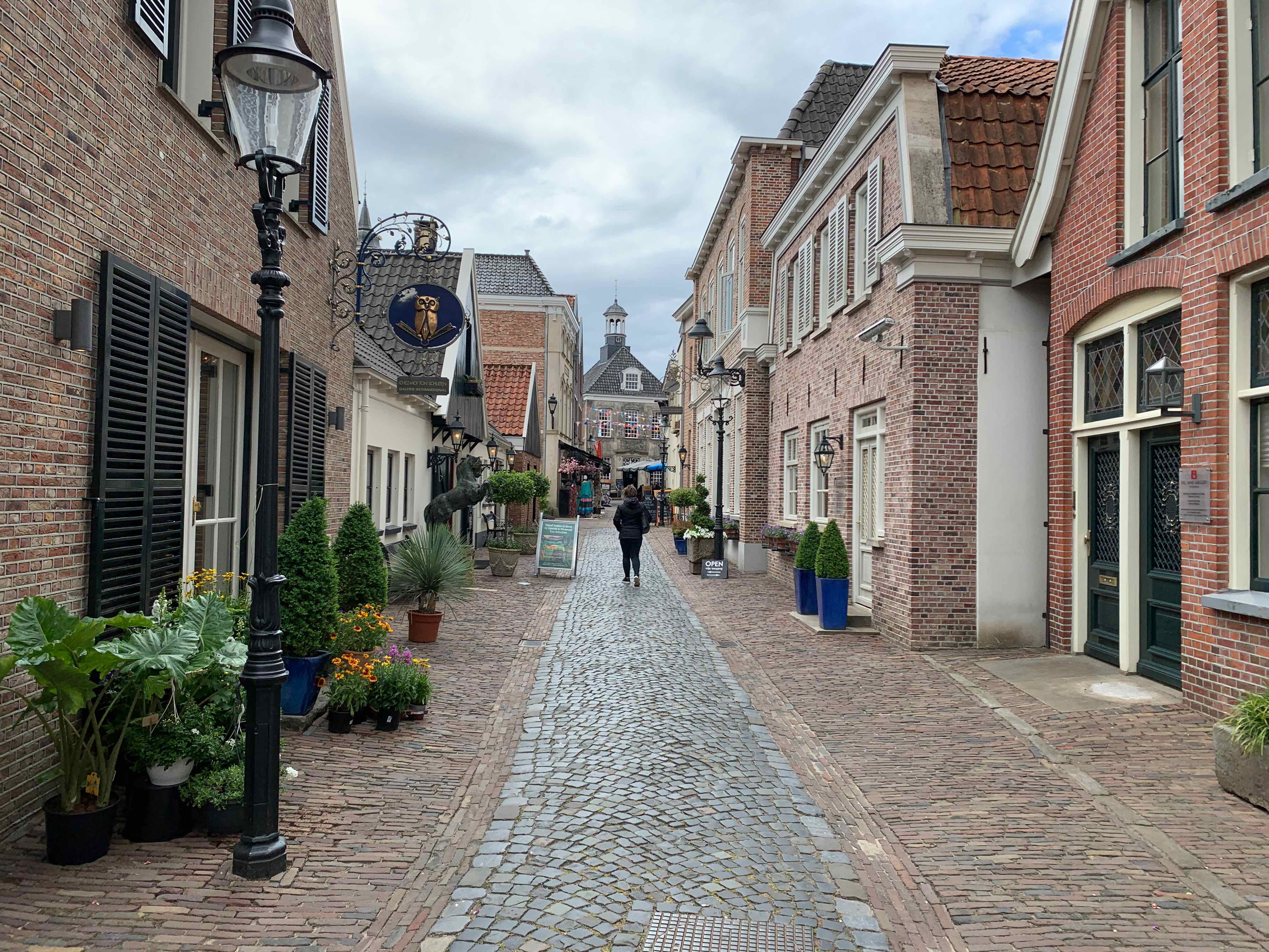
The town of Ootmarsum is famous for its well-preserved historic center, featuring narrow cobblestone streets, beautiful old buildings, and quaint squares. The town's architecture reflects its rich history, with many traditional Dutch houses and buildings dating back several centuries.
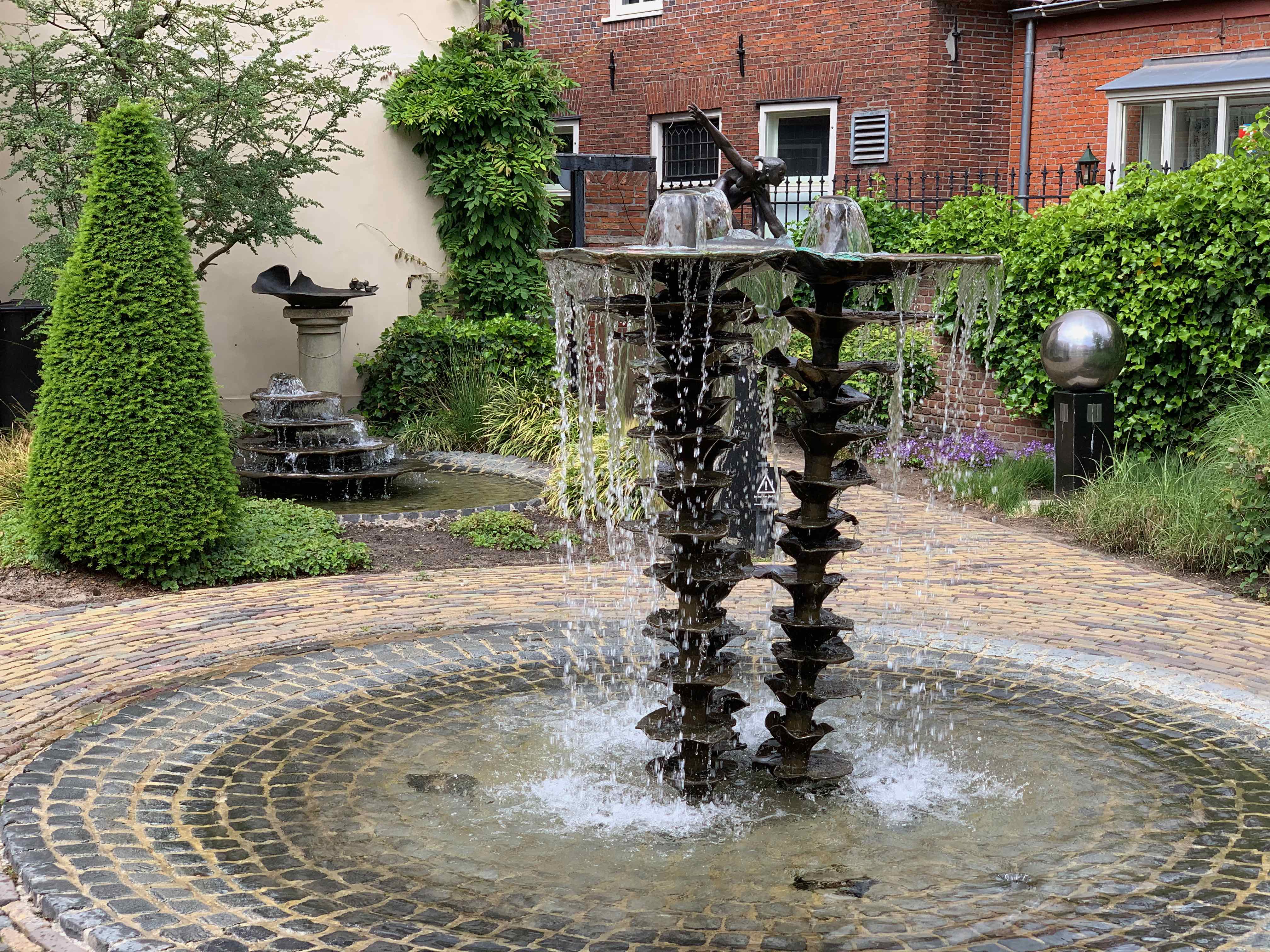
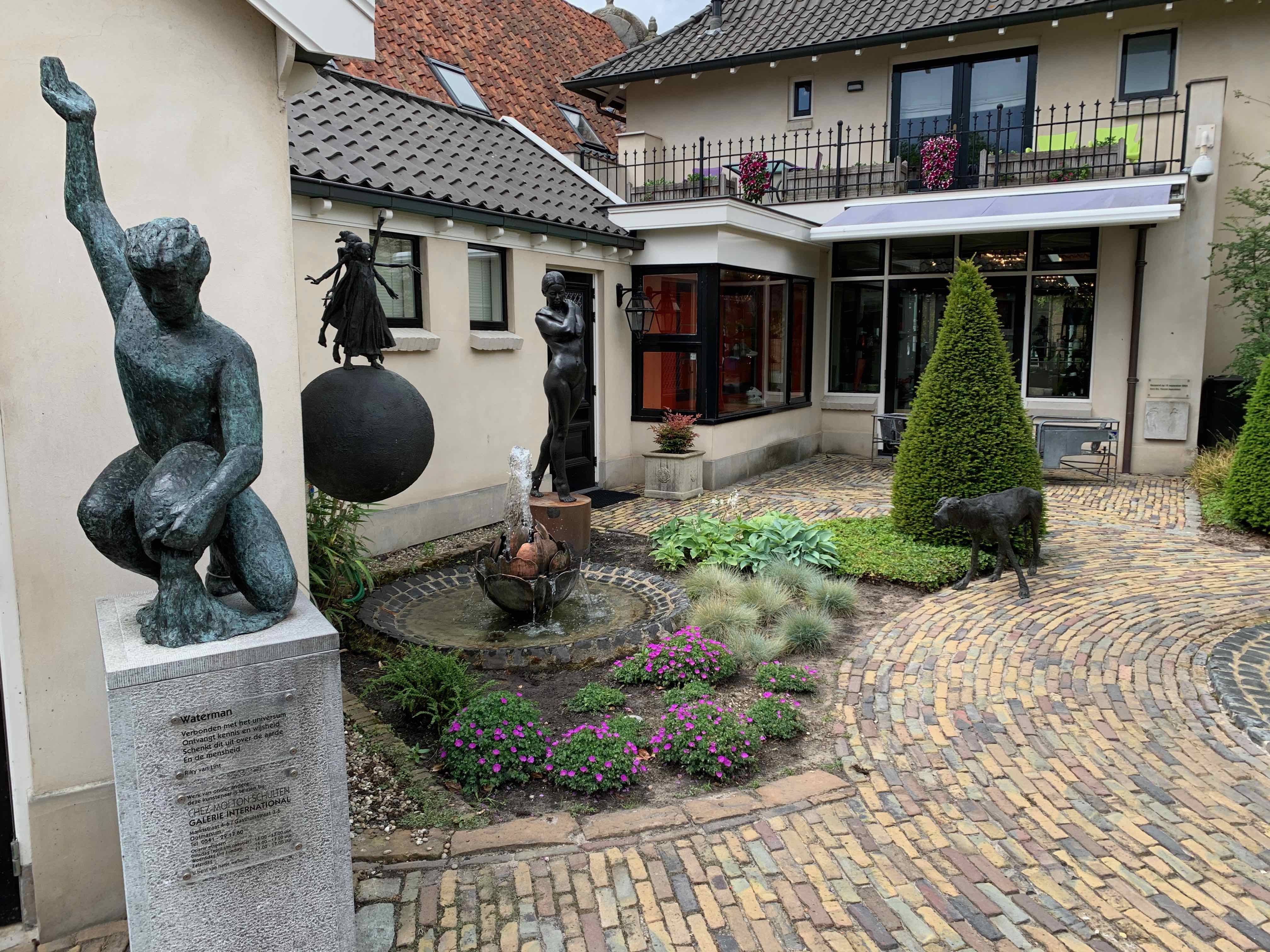
Ootmarsum is known as an art town due to its vibrant artistic community. It is home to numerous art galleries, showcasing the works of local artists and craftsmen. Visitors can explore the galleries, purchase artwork, and even meet the artists themselves. The town's artistic atmosphere is also celebrated during various art festivals and events held throughout the year.
Ootmarsum is also known for its cultural heritage. The town has several museums that provide insights into its history and traditions. The Openluchtmuseum (Open-Air Museum) showcases the local way of life in the past, with reconstructed historical buildings and exhibits. The Drostenhuis Museum is a 17th-century mansion that offers a glimpse into the lifestyle of the upper class during that era.
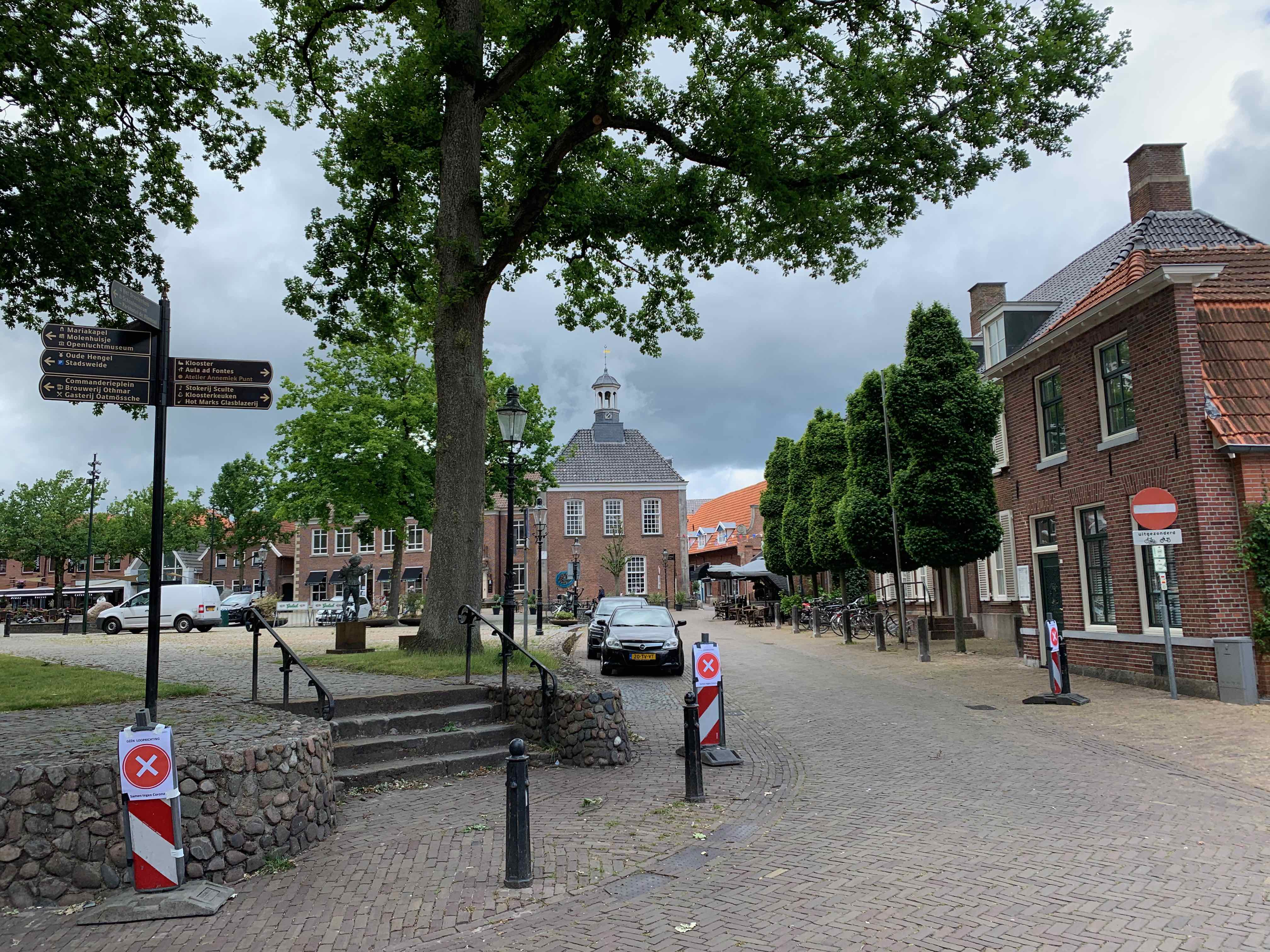
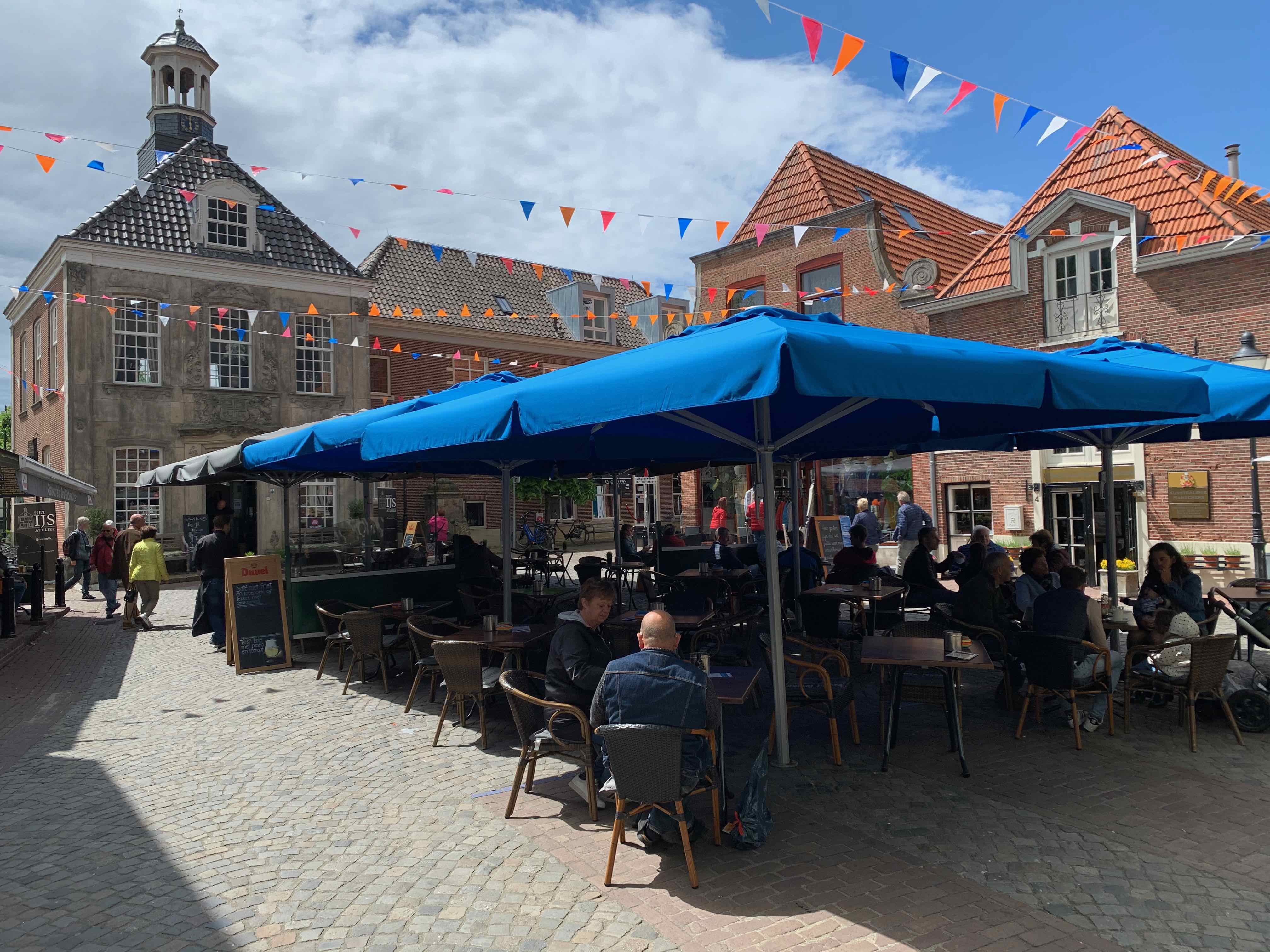
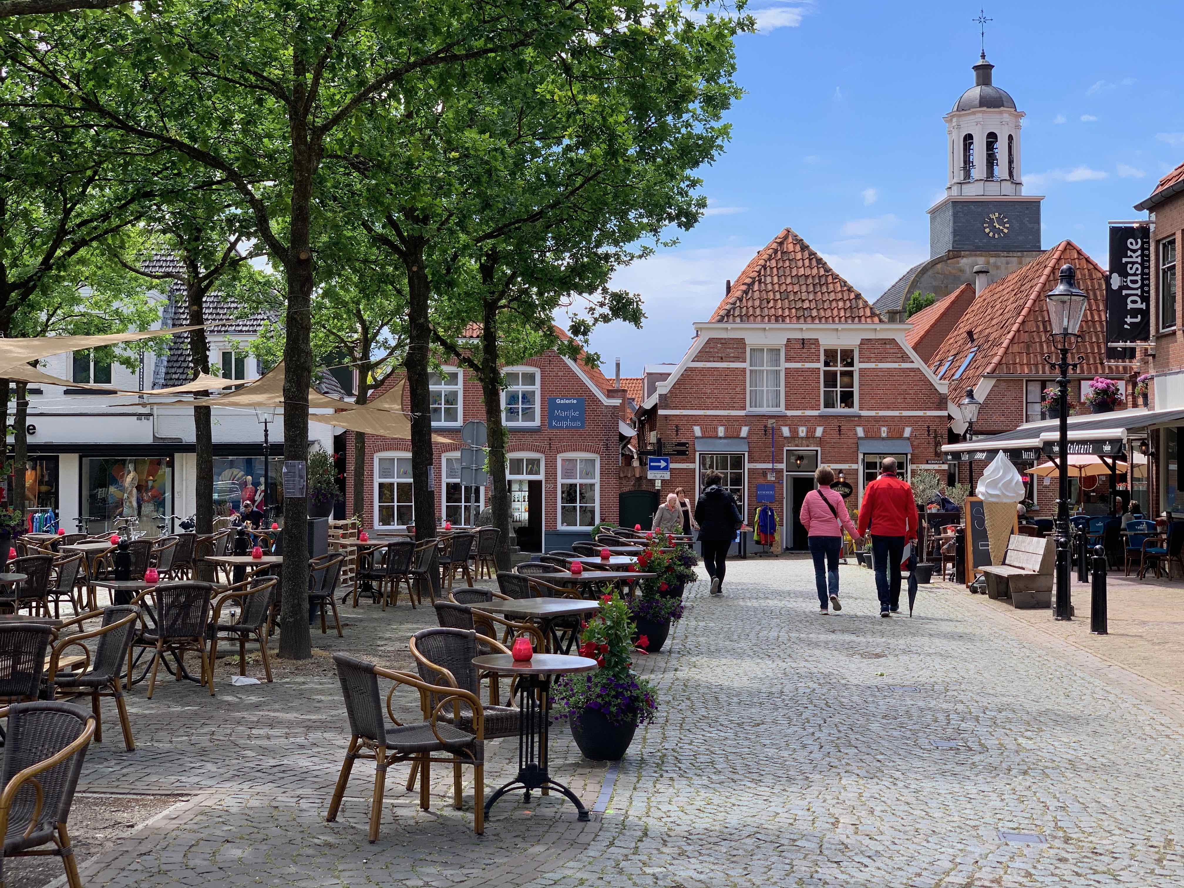
The town's central square, the Markt, is a lively hub with terraces, cafes, and shops. It is a great place to relax, enjoy a meal or a drink, and observe the local atmosphere. Ootmarsum also offers a range of culinary experiences, with restaurants serving both traditional Dutch cuisine and international dishes.
Nature lovers will appreciate the surrounding countryside, which offers opportunities for hiking and cycling. The region features beautiful landscapes, including forests, meadows, and rolling hills.
Ootmarsum is located in the eastern part of the Netherlands, near the German border. It is easily accessible by car, and there are parking facilities available in the town. Public transportation options, such as buses, are also available.
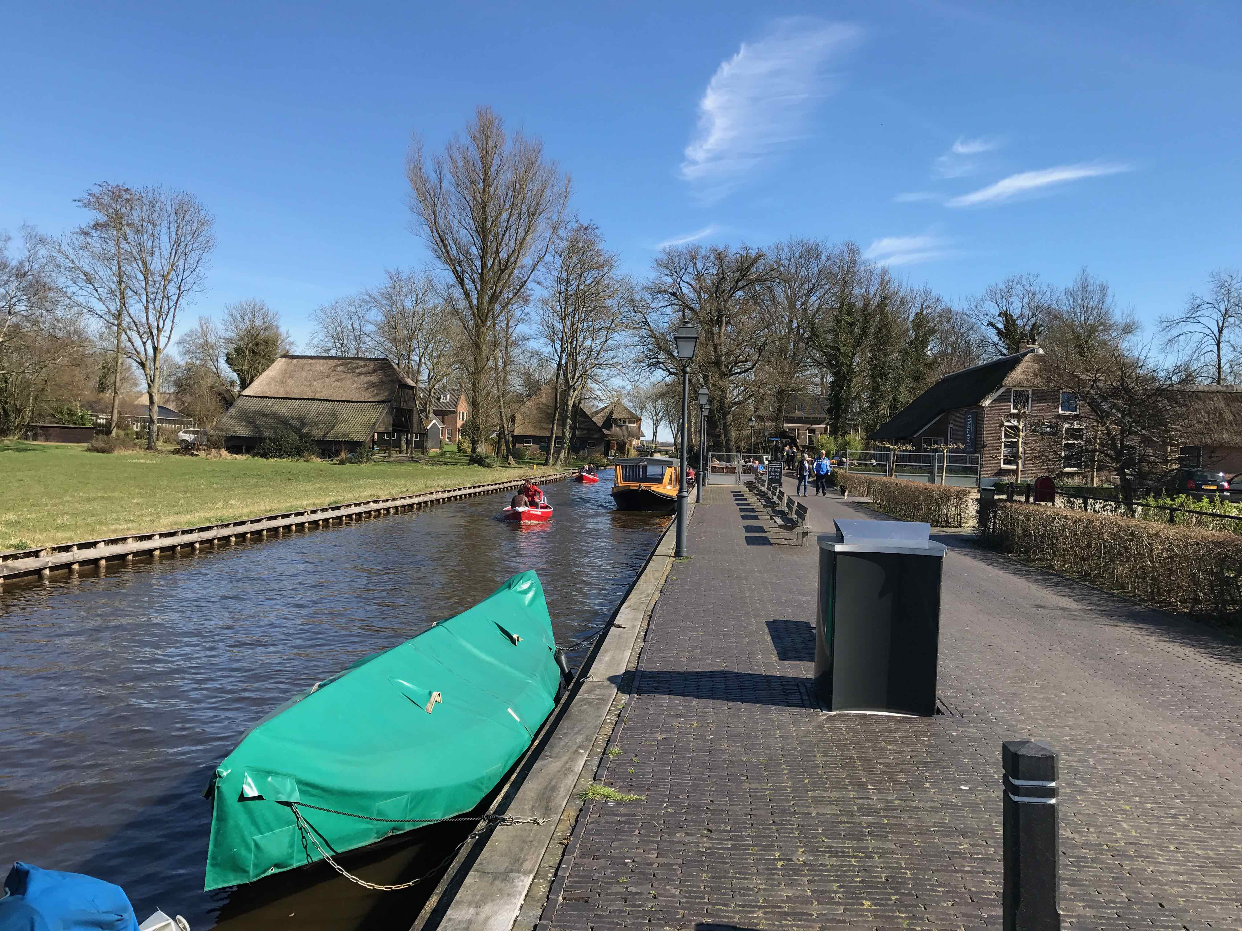
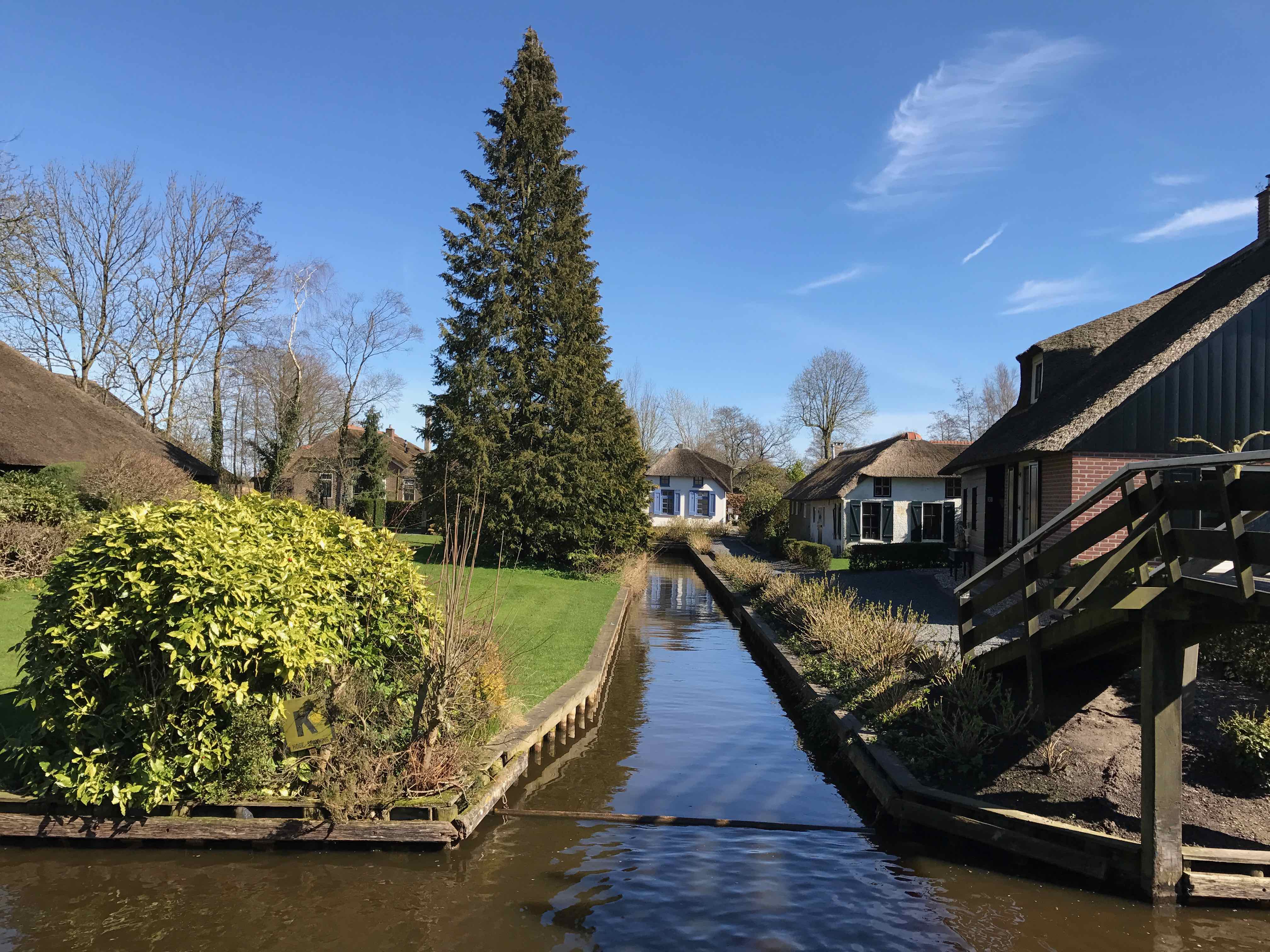
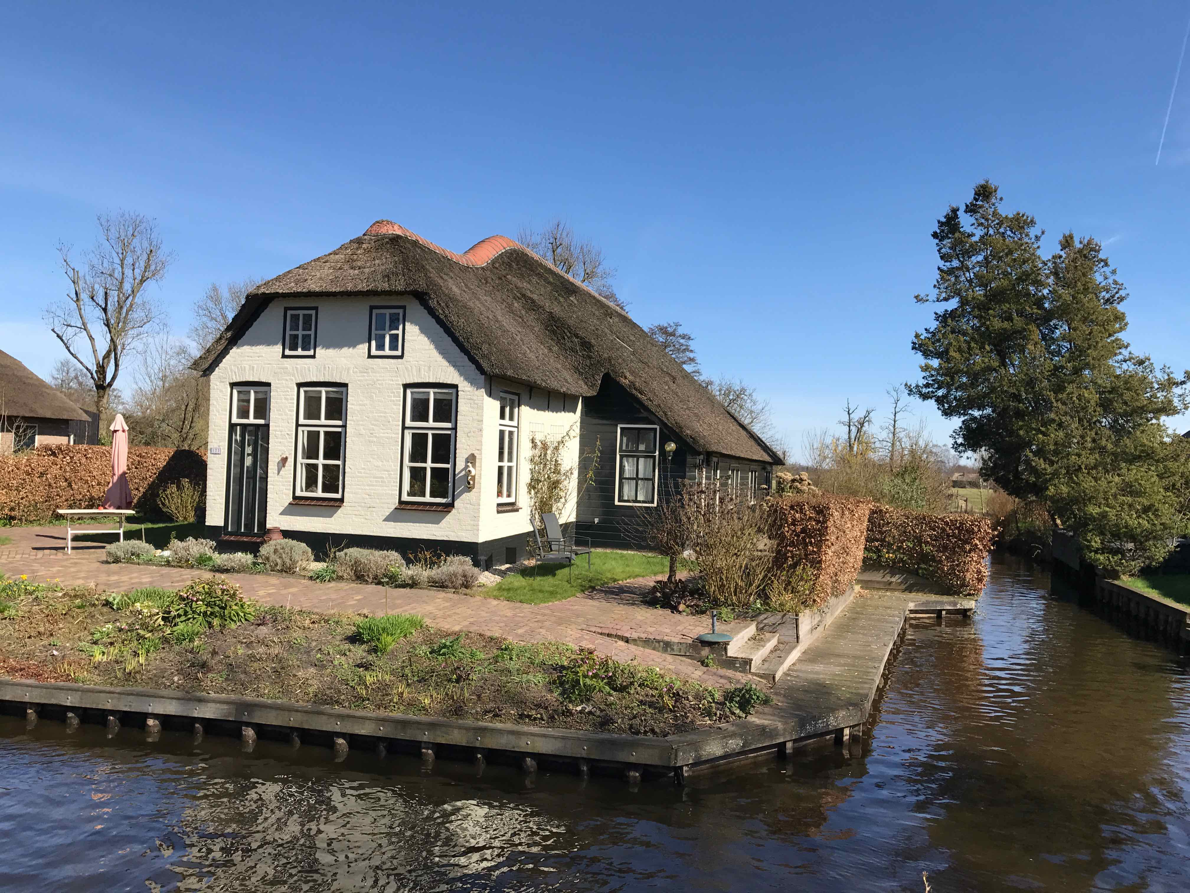
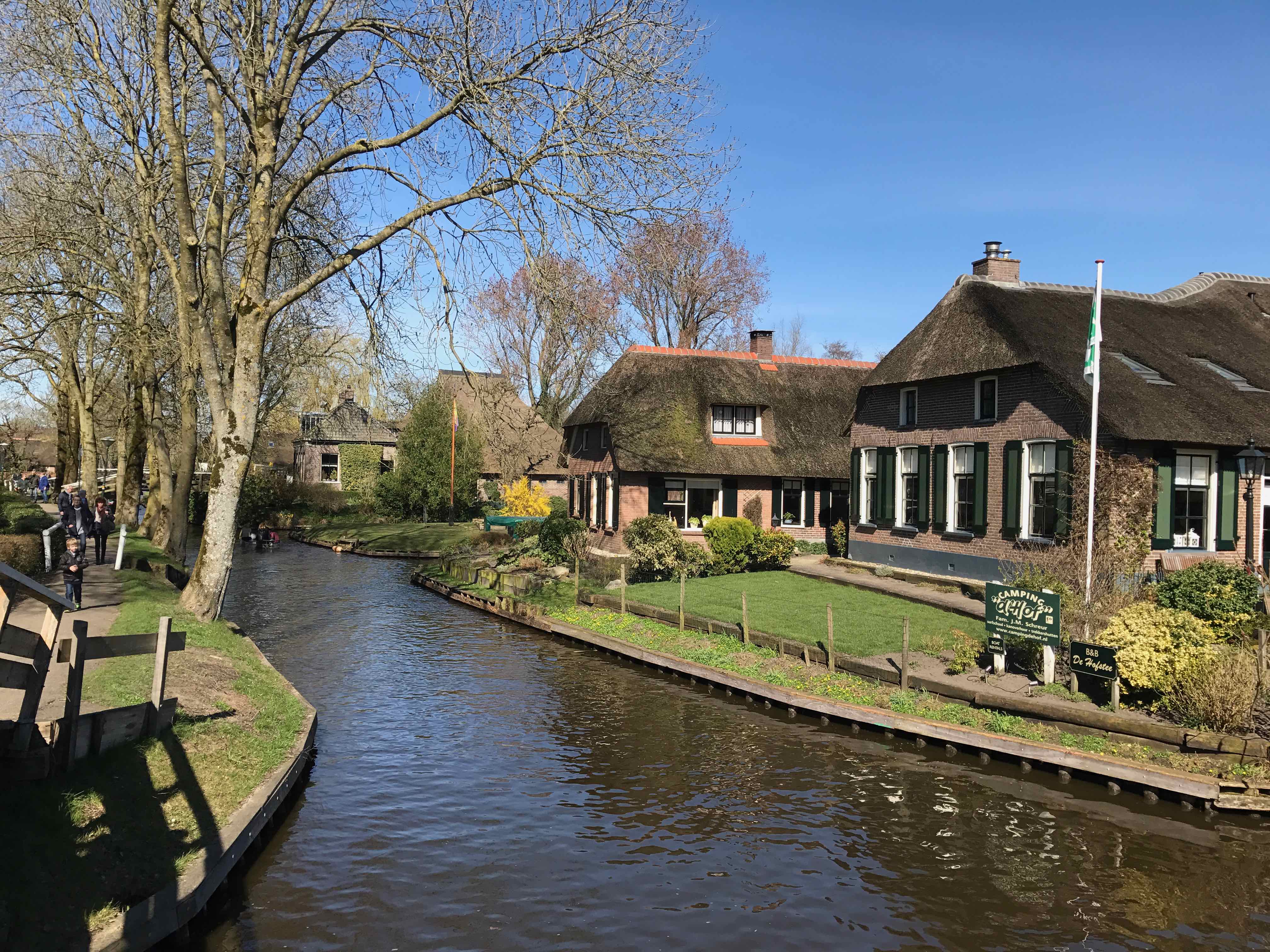
Giethoorn is a picturesque village. Known as the "Venice of the Netherlands," Giethoorn is renowned for its tranquil canals, charming thatched-roof houses, and scenic beauty.
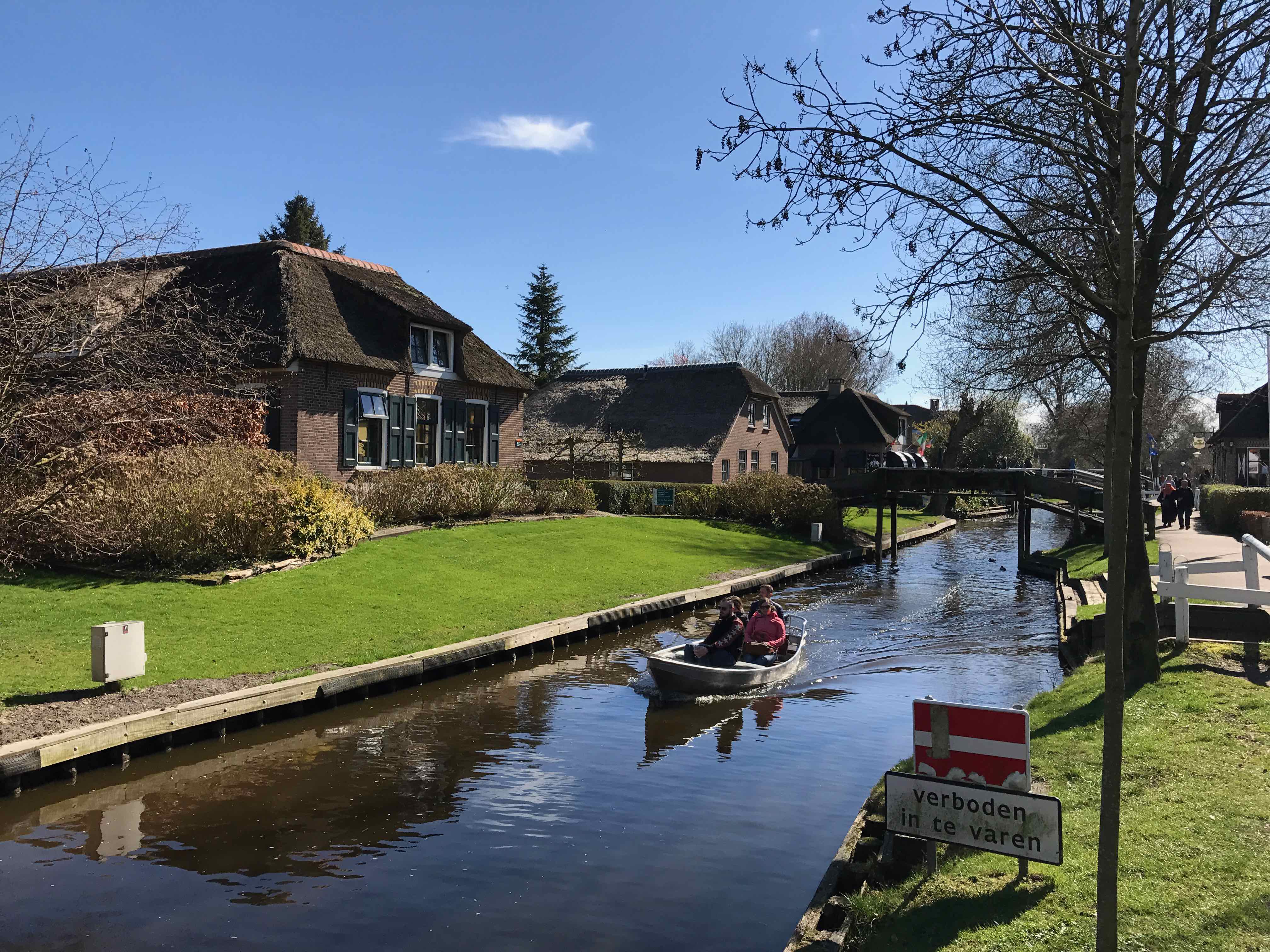
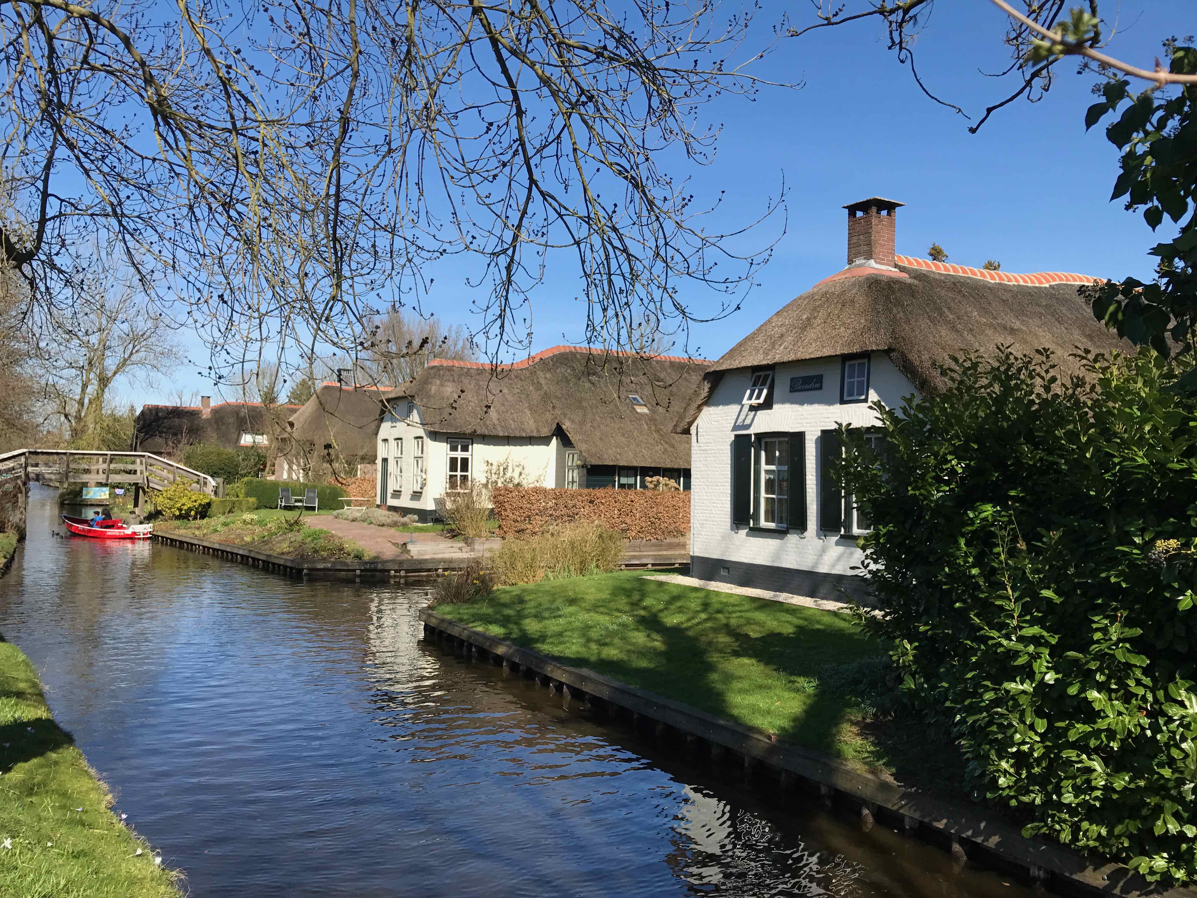
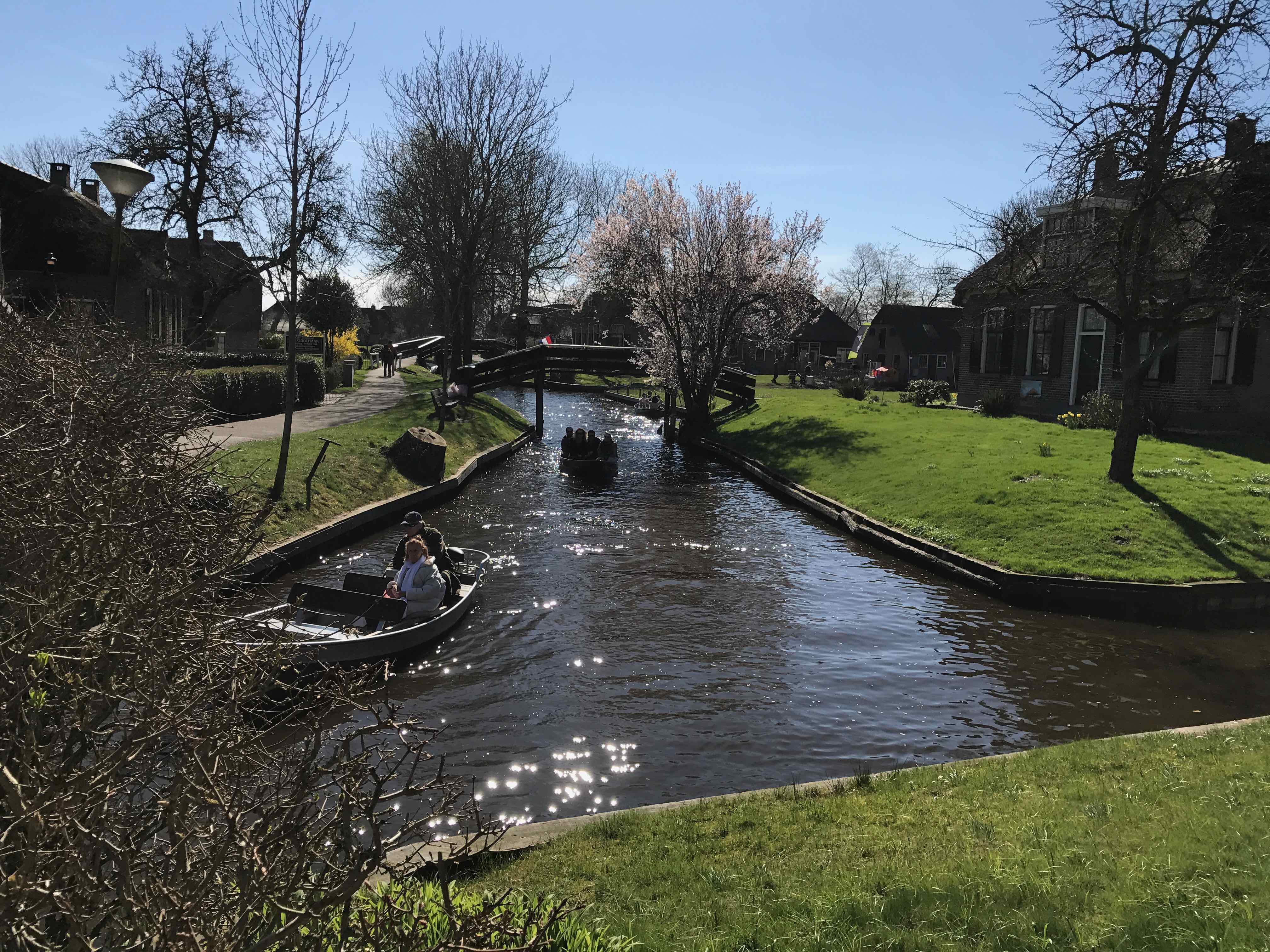
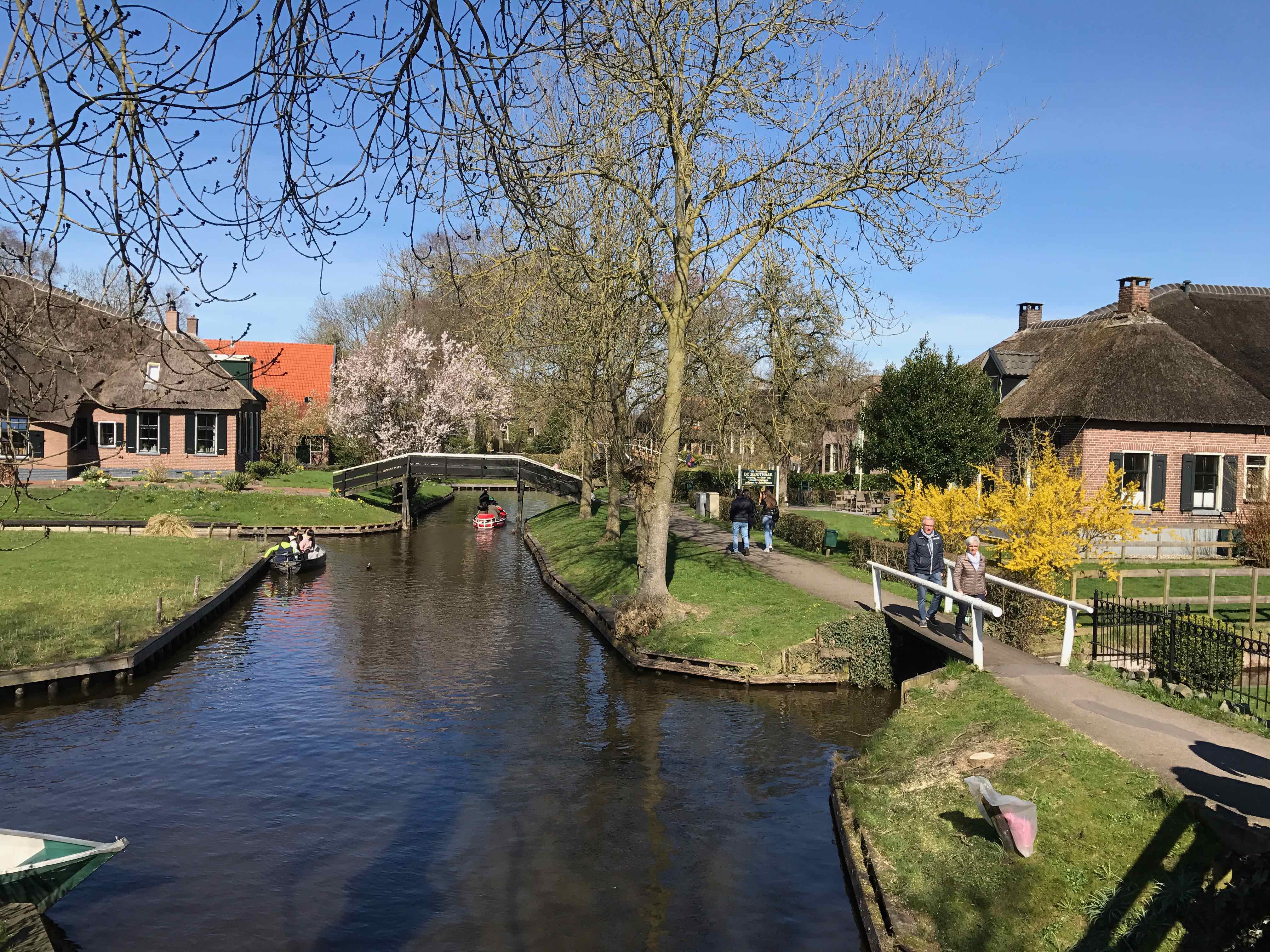
What makes Giethoorn unique is its lack of roads and cars. Instead, the village is characterized by its network of narrow canals, footpaths, and cycling trails. The primary mode of transportation in Giethoorn is by boat or on foot, which adds to the village's peaceful and idyllic atmosphere.
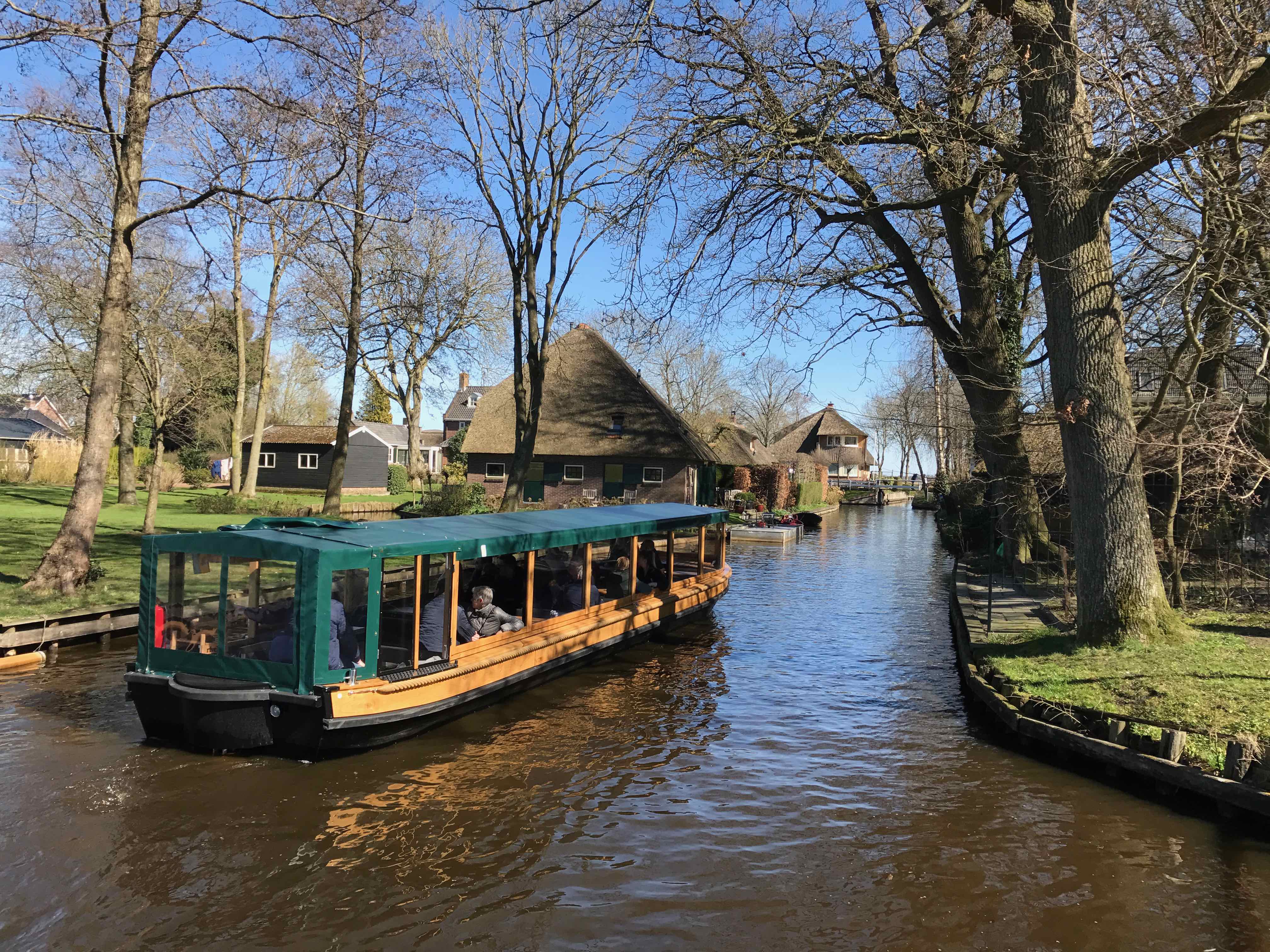
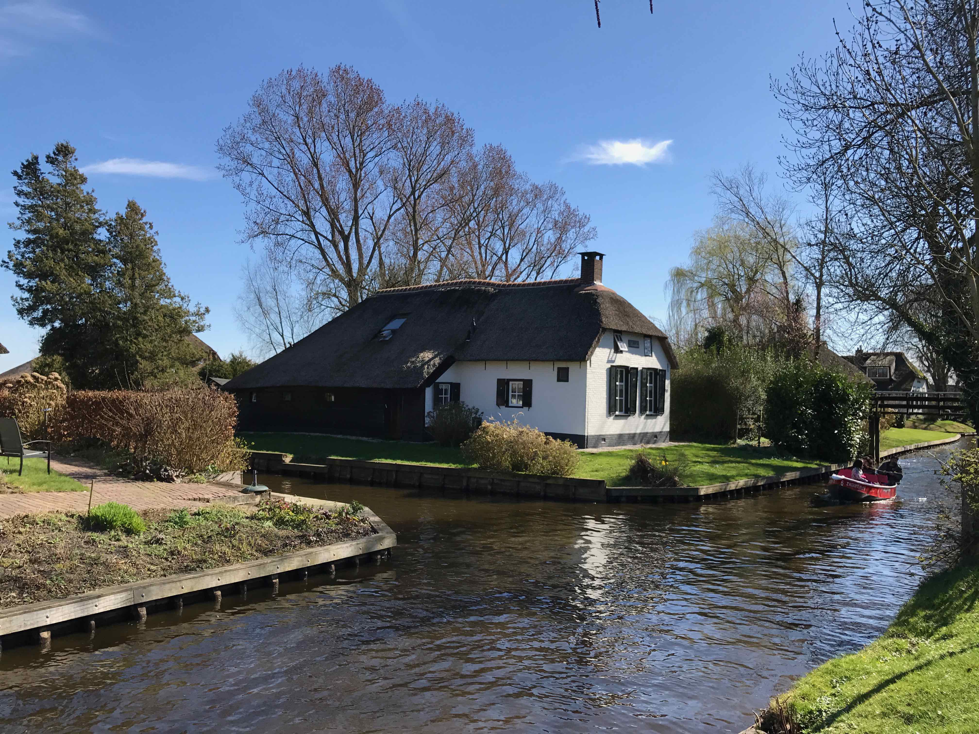
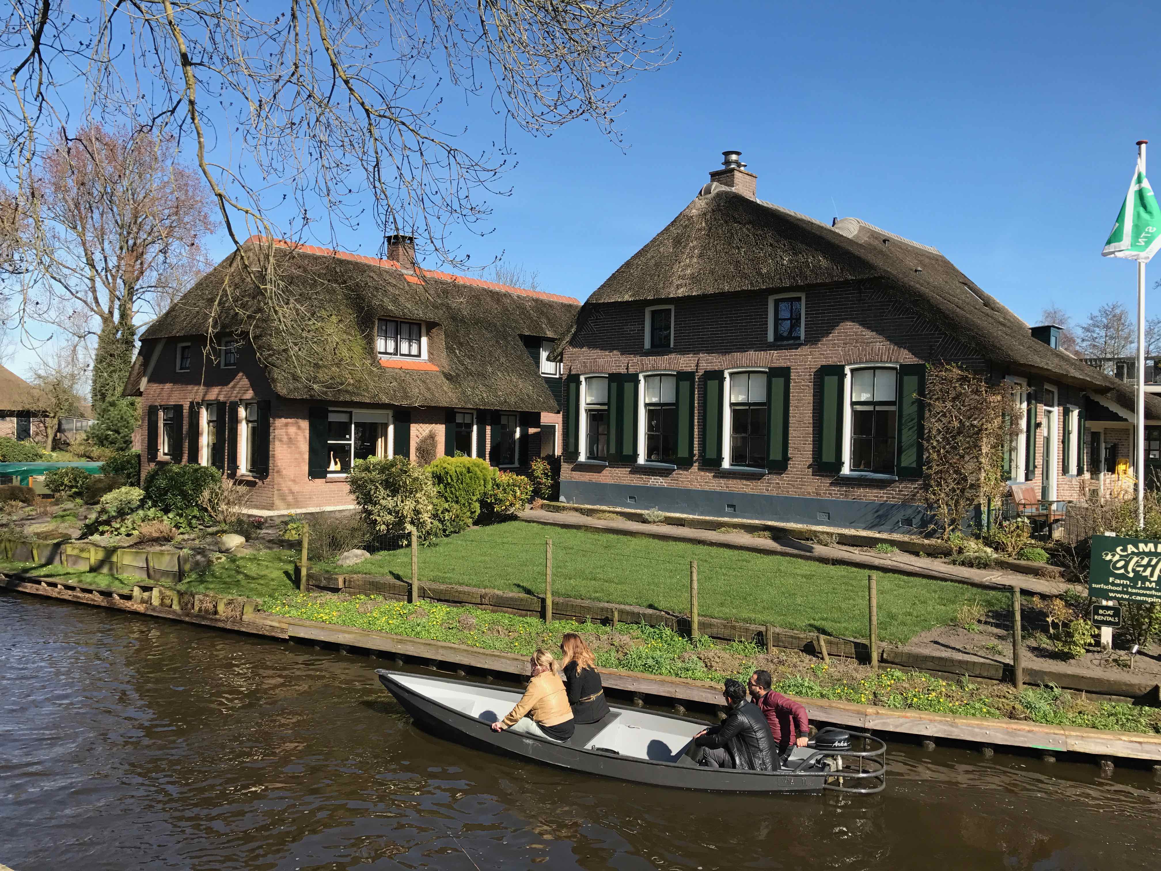
Visitors to Giethoorn can rent a boat, known as a "whisper boat" due to their quiet electric engines, and explore the village's canals and waterways. It's a delightful way to experience the village's enchanting scenery, passing by charming houses, picturesque gardens, and arched bridges.
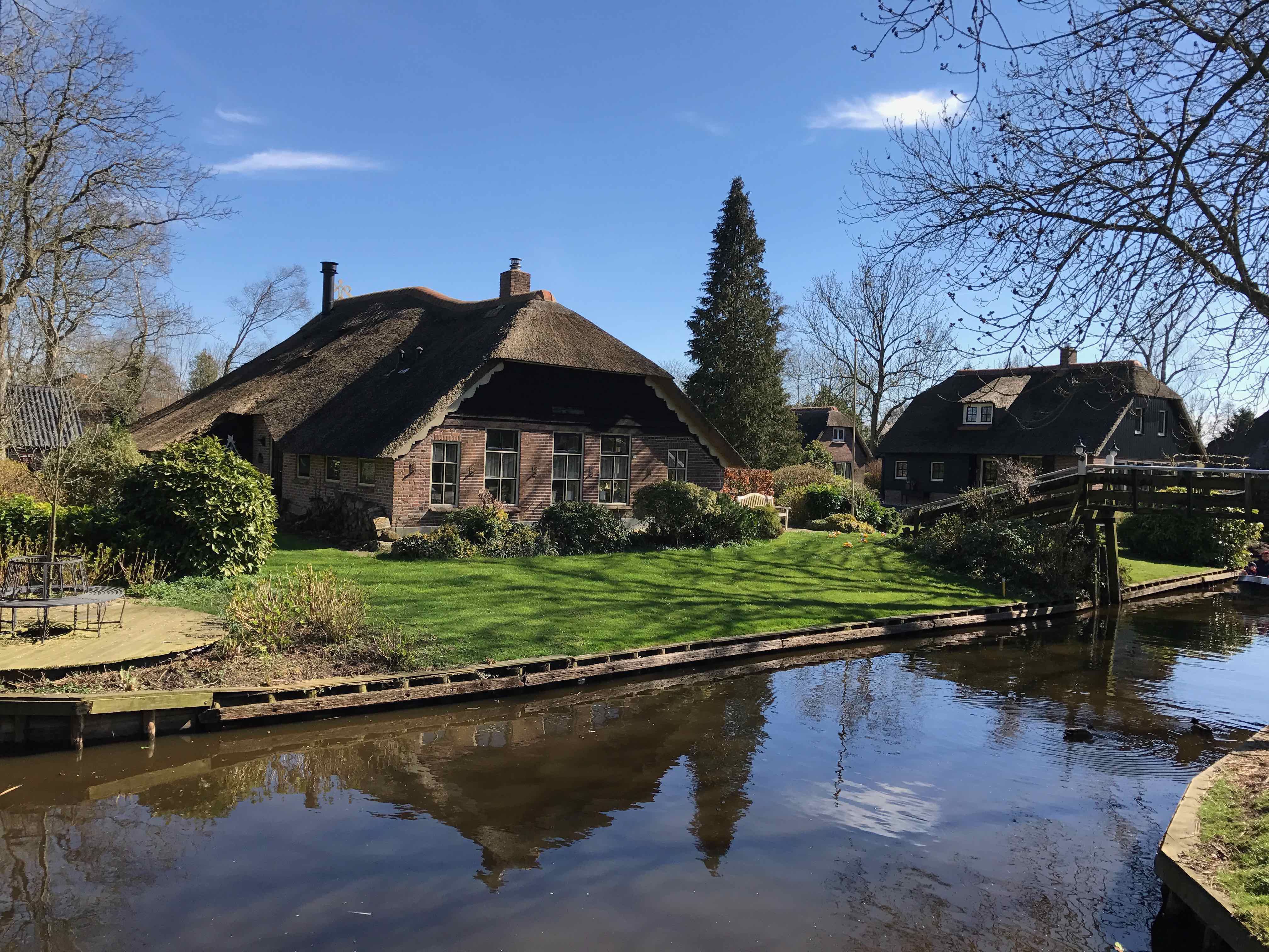
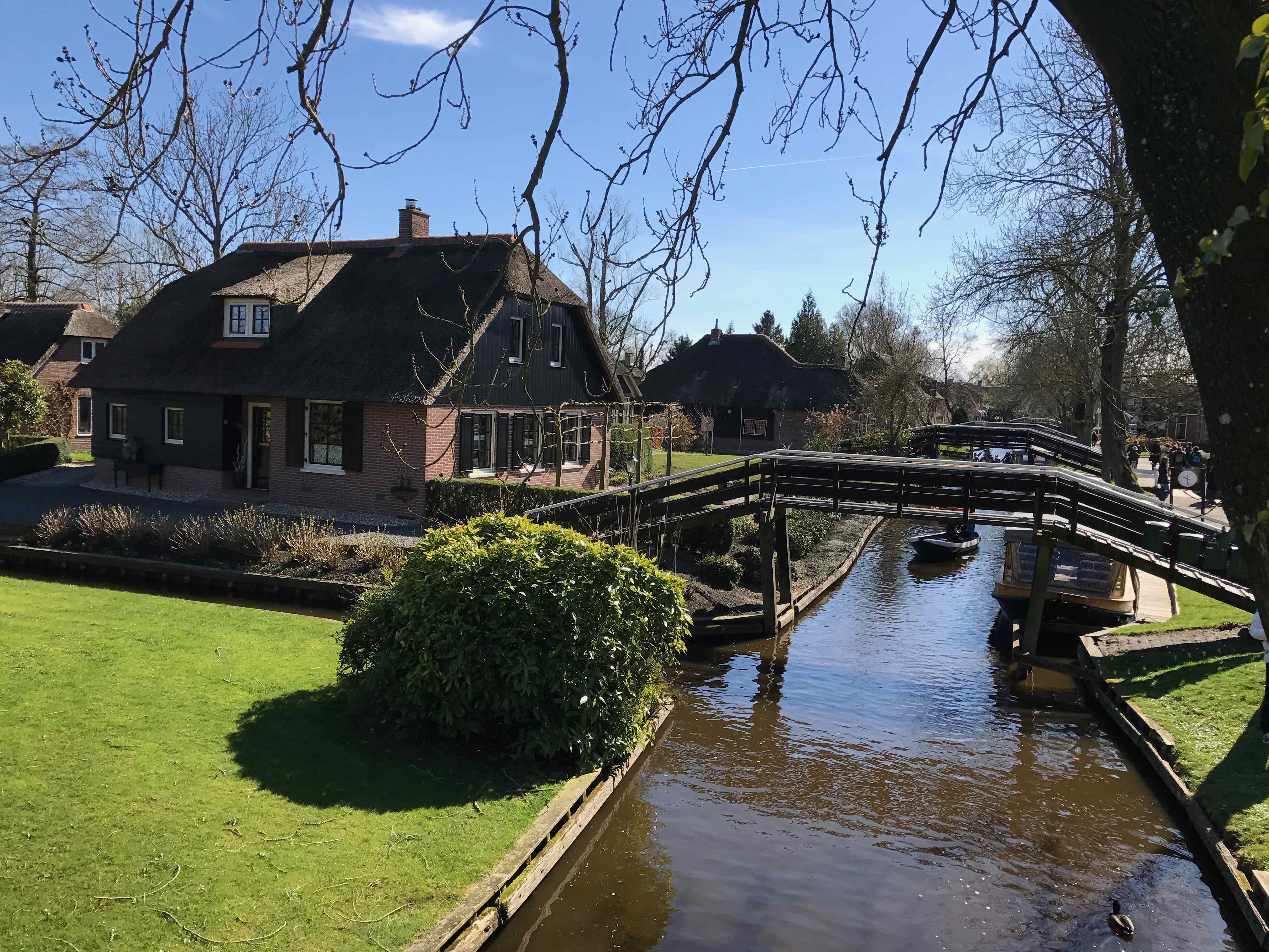
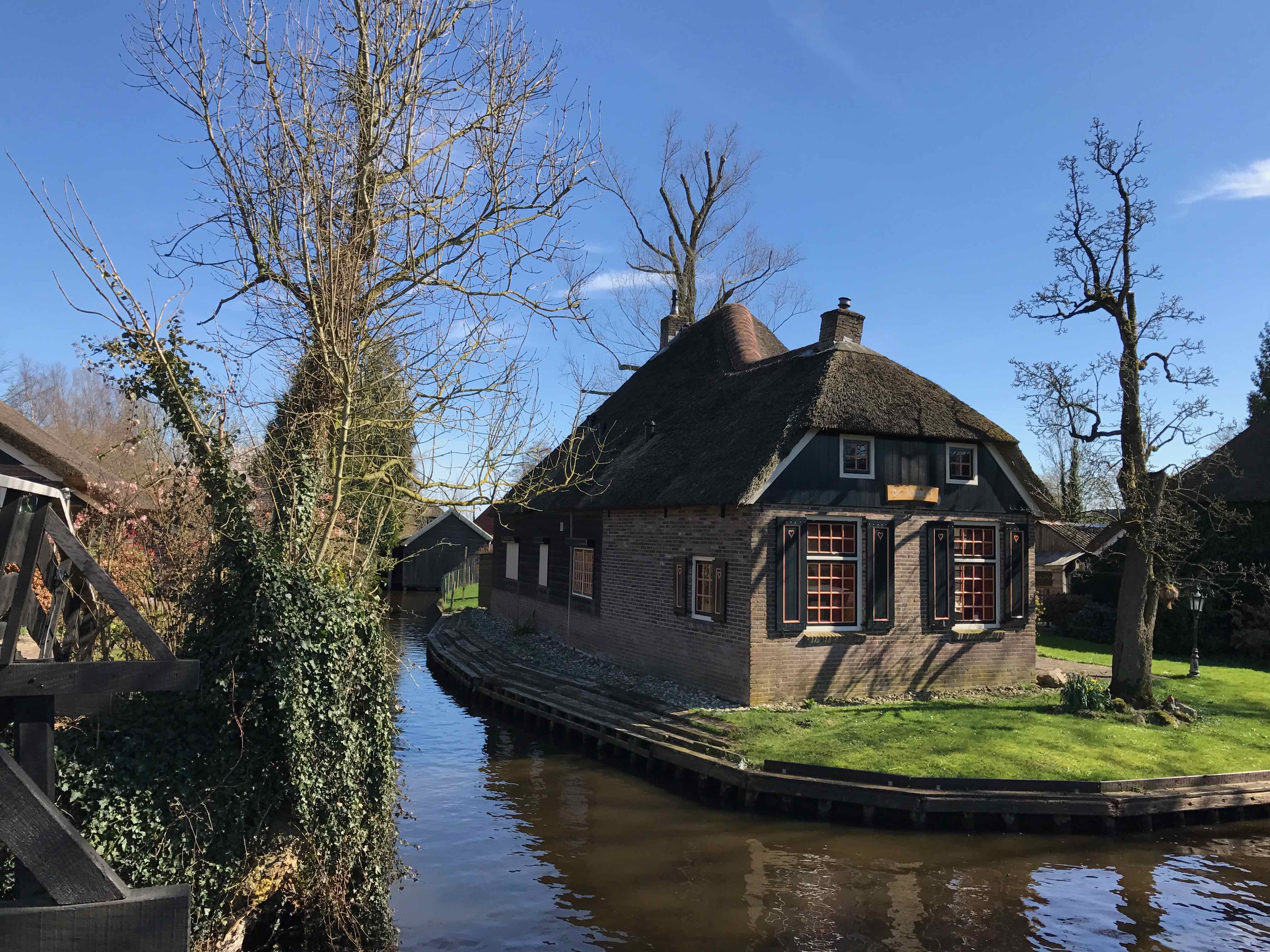
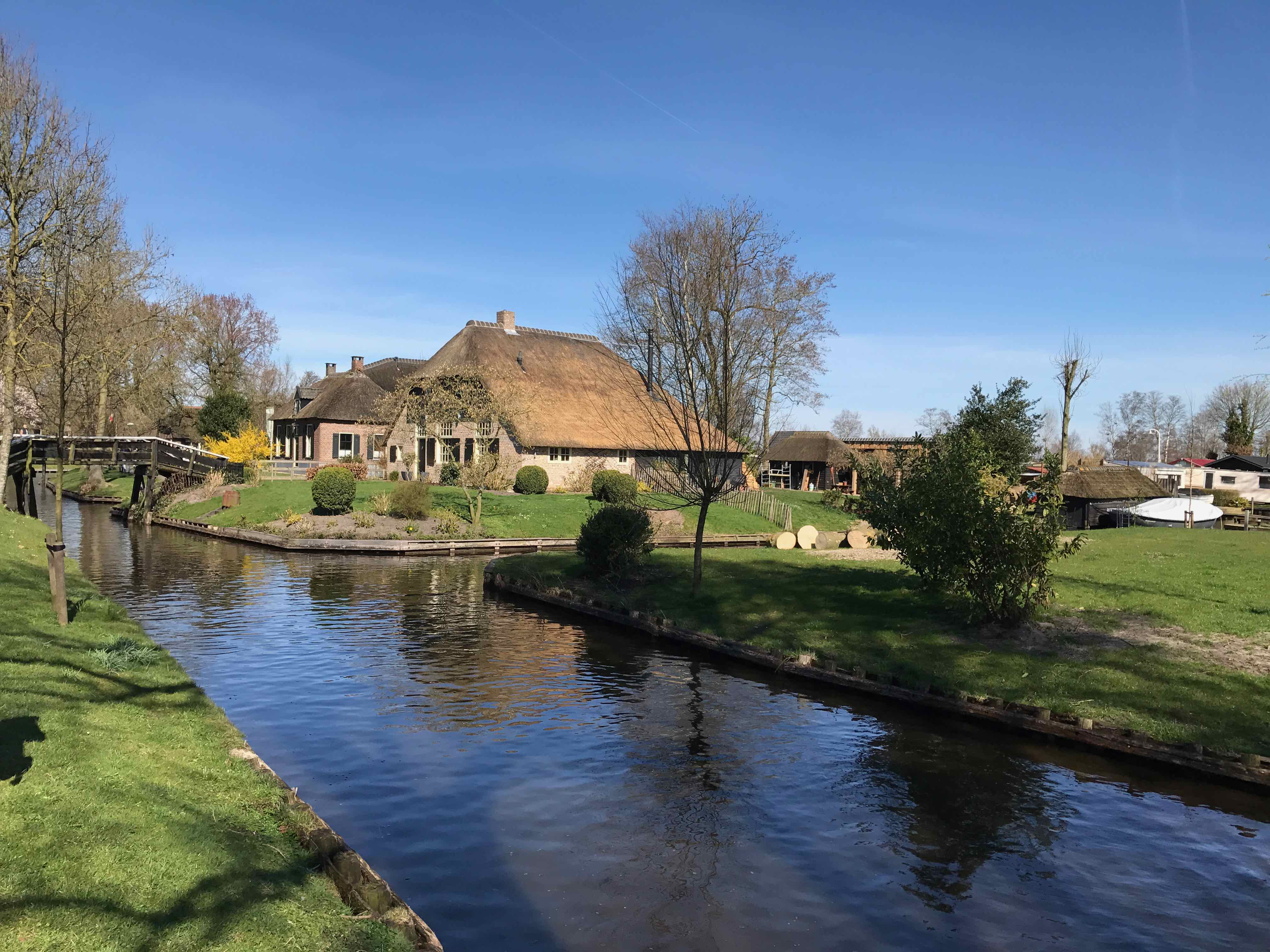
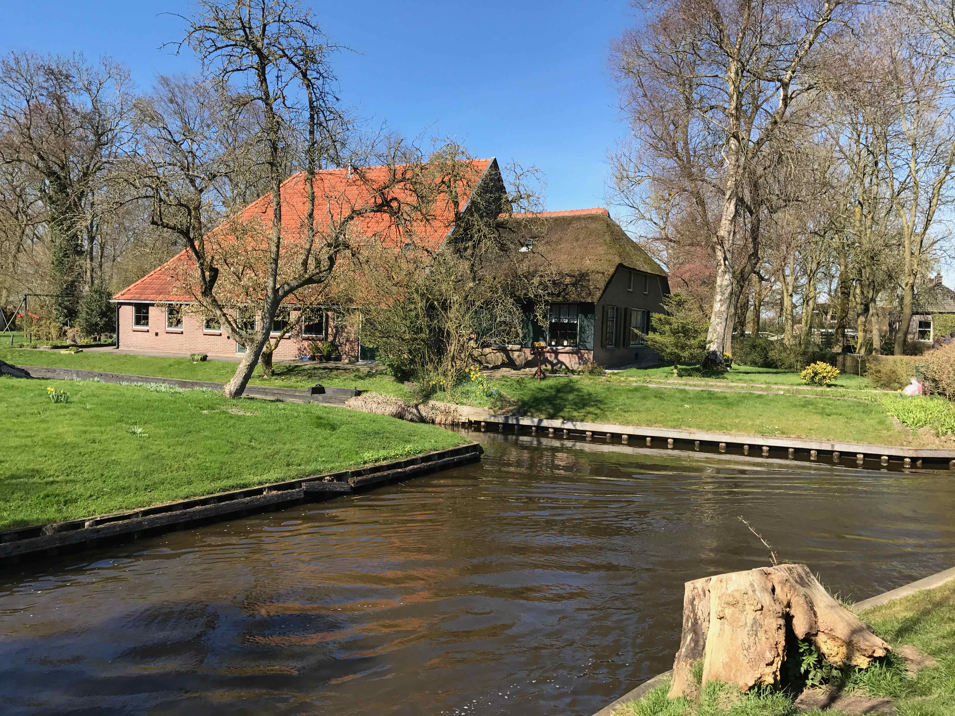
The village center of Giethoorn features traditional thatched-roof houses, some of which date back to the 18th century. These houses are nestled along the canals, creating a picturesque and timeless ambiance. There are also several restaurants, cafes, and shops where visitors can relax and enjoy the local cuisine.
Giethoorn is surrounded by beautiful natural landscapes, including lakes, wetlands, and nature reserves. The De Wieden National Park, located nearby, offers opportunities for hiking, cycling, and birdwatching. Exploring the surrounding area allows visitors to appreciate the region's rich biodiversity and serene countryside.
In addition to its natural beauty, Giethoorn is also home to several museums and attractions. The Museum Giethoorn 't Olde Maat Uus provides insights into the village's history, culture, and traditional way of life. There is also a museum dedicated to Dutch writer and Nobel laureate Albert Schweitzer, who lived in Giethoorn for a period of time.
Giethoorn can be accessed by car or public transportation. The village has parking areas for visitors arriving by car, and there are bus connections from nearby towns and cities.
The first Inhabitants,
Flagellants According to various archives, the first people settled around 1291 in the peat area behind Fulnaho (Vollenhove). They were Flagellants who settled in a permanent place at the insistence of the Bishop of Utrecht. These crusaders traveled in groups in Europe while whipping each other and themselves to do penance. Because criminals, beggars and whores joined them, they were a thorn in the side of the Catholic Church. Hence the urgent request from the Bishop of Utrecht to stop wandering. He offered them a piece of land to live in and was thus able to maintain order in his diocese
Flagelants
Flagelants traveled all over Europe about 800 years ago. These cross brothers roamed in groups. They moved around with torn clothes, black ashes spread on their heads. They scourged themselves and each other, sang lamentations and held penances. As a kind of revival movement, the lashings roamed to avert the wrath of heaven. For example, they went through the countries doing penance. These penitents were very attractive to society's undercurrents. It was the case that criminals, beggars and whores also joined the itinerant groups. Historical literature writes about the dark side of the self-companions, for example by 'D Poort' in the booklet “De Geselaars van Ootmarsum”. Murders and rapes were crimes that were not unfamiliar to some of the participants in these groups. This "dark side" of the existence of the flagellants was an important reason for the Bishop of Utrecht, Jan van Sierck, to intervene. When a group of flagellants showed up in the diocese of Bisshop van Sierck. He made the decision to 'diwn' them to a permanent place. In this way he considered himself to be in order to maintain order in his diocese. Van Sierck convinced them by sacrificing a piece of peat area behind Fulnaho. Around 1290, the Roman Catholic church gave a piece of land to the “Italian gypsies” when they would give up their itinerant existence. Every year on November 11, these new residents of the area had to pay rent to the bishop. Because of this date, the flagellants were then called SintMaartensluyden. The lease was probably met with peat.
How does Giethoorn got its name
In 1170 the All Saints Flood took place. This storm surge caused large parts of the Netherlands to be flooded. When the first inhabitants settled in the area a little over 100 years later, they had to reclaim the peat area to make it suitable for growing crops and habitation. In the peat soils they found numerous horns of goats. They therefore decided to name their new place of residence "Geytenhoren".
Gethorn-Gijthorn-Geithoorn-Geytenhoren-Geythorn-Giethoorn
The region to which Giethoorn belonged before 1170 was part of a large wooded wilderness. This is evident from a letter from the 10th century from King Otte the Great to the church guardian Balderik. At the time, the area was virtually uninhabited. At that time, it was forbidden to hunt deer, bears, wild goats, pigs, and other game, which was then still very much alive in the area, without the bishop's permission. The All Saints' Flood took place in 1170.
A storm surge that pushed so much water over the land from the Zuiderzee that large parts of the Netherlands came under water. The vast wooded area was overthrown by the seething forces of the sea. The new landscape had emerged. After the flood, the Netherlands experienced a period of deep poverty. Because there was also a failed crop in the years after the disaster, the subsequent fertility of land, humans and animals came as a godsend.
The stories about which population group first settled in Giethoorn contradict each other, but it is more likely that there has been an overlap, so it is not possible to determine exactly who is the first to call a Giethoorn, so we are both the first admirers of our village. There are stories that describe Flagellants being the first to settle in this area towards the end of the 13th century. The other lecture concerns a group of poor people who no longer had a place in their original residential community.
Due to the exponential population growth in the fertile period, there was not enough food in the bulging communities to feed all mouths. The least fortunate, of course, fell victim to this and sought out remote places to settle. This is how a group of poor people ended up in Giethoorn where they were admitted on condition of admission by the prefect of Vollenhove by the bishop. Whoever was the first to settle in the village, it is certain that these inhabitants had to cultivate the land to make it suitable for construction. During these excavations they encountered many horns of goats, most likely died during the All Saints' Flood in 1170.
This discovery was reason for the first residents to give their establishment the name Geytenhoren. This name first evolved into the name Geythorn and partly thanks to the dialect spoken in the region, the name of the most beautiful village in the Netherlands eventually emerged: Giethoorn.
The goat's horns can still be found in the coat of arms of the village. In ancient writings reference is also made to Giethoorn with the names Gethoorn, Geethoorn, Gythorn and Geithorn.
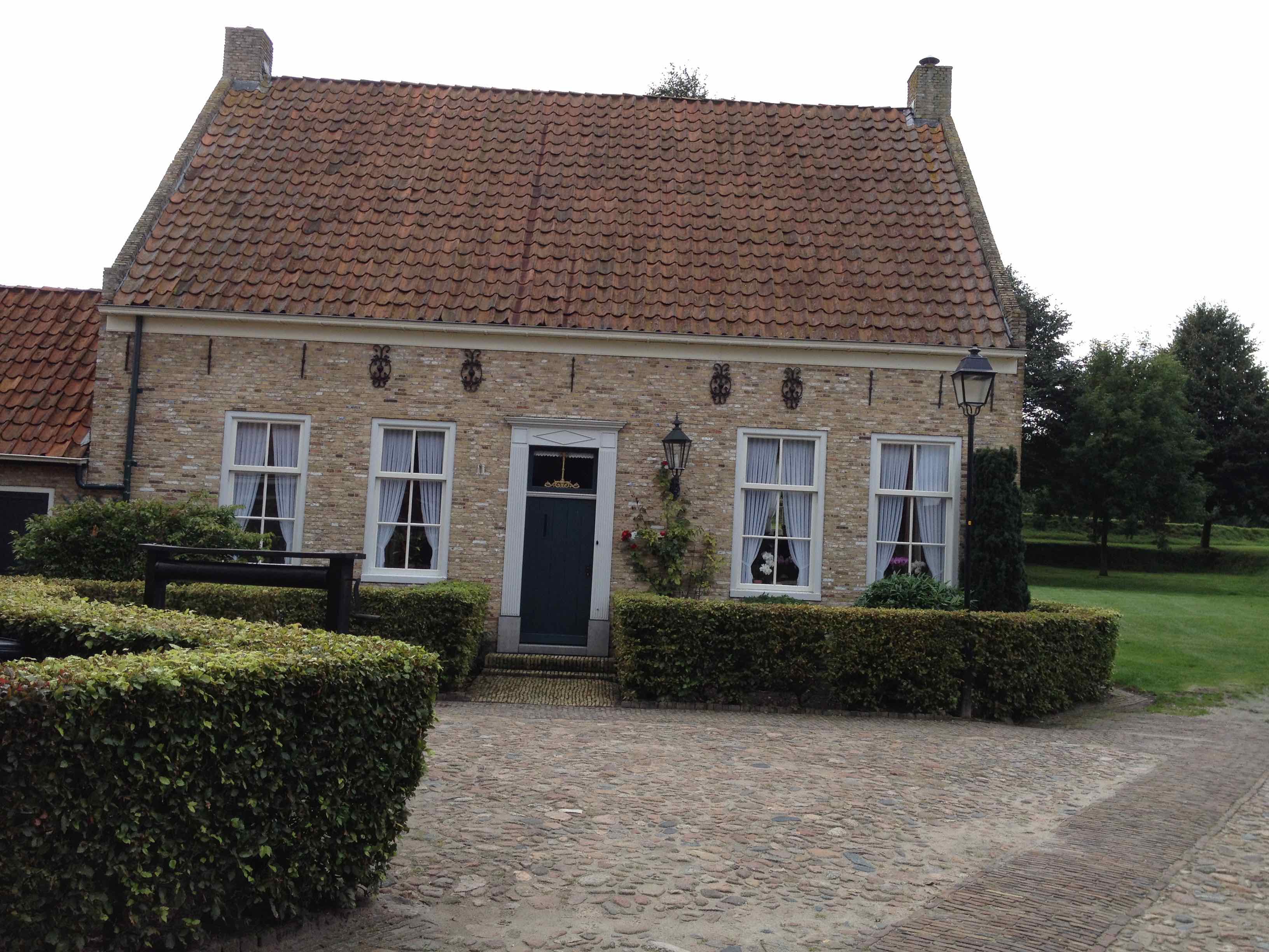
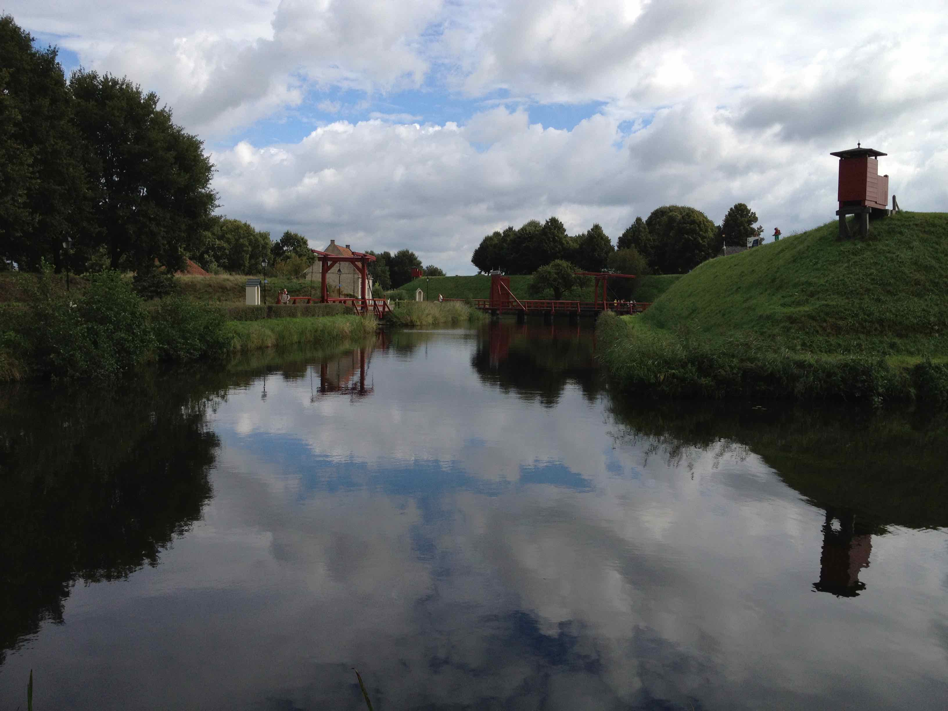
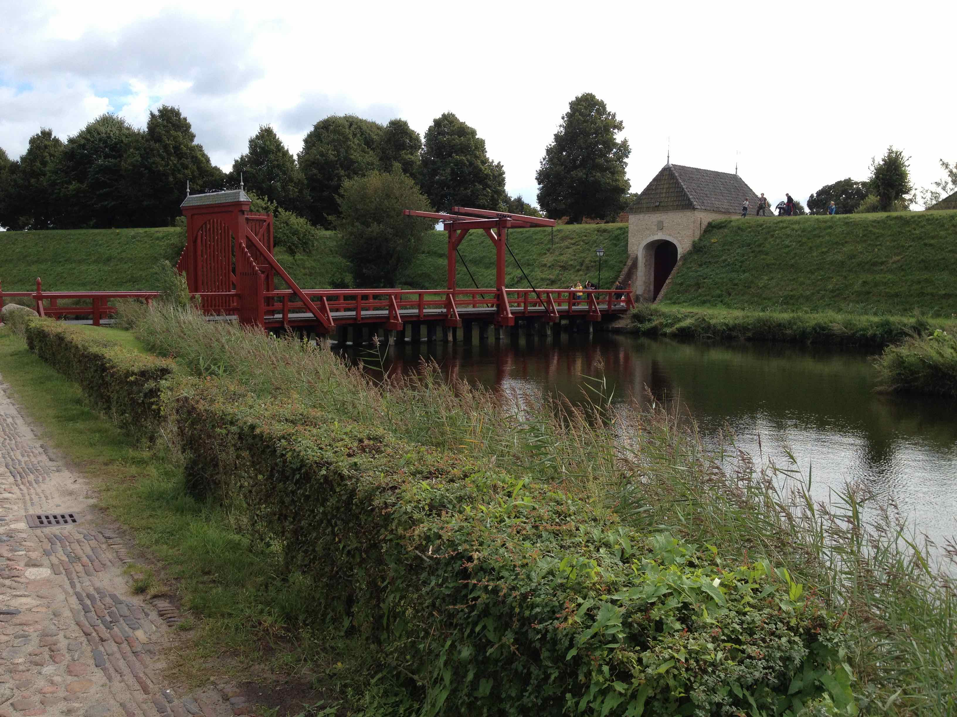
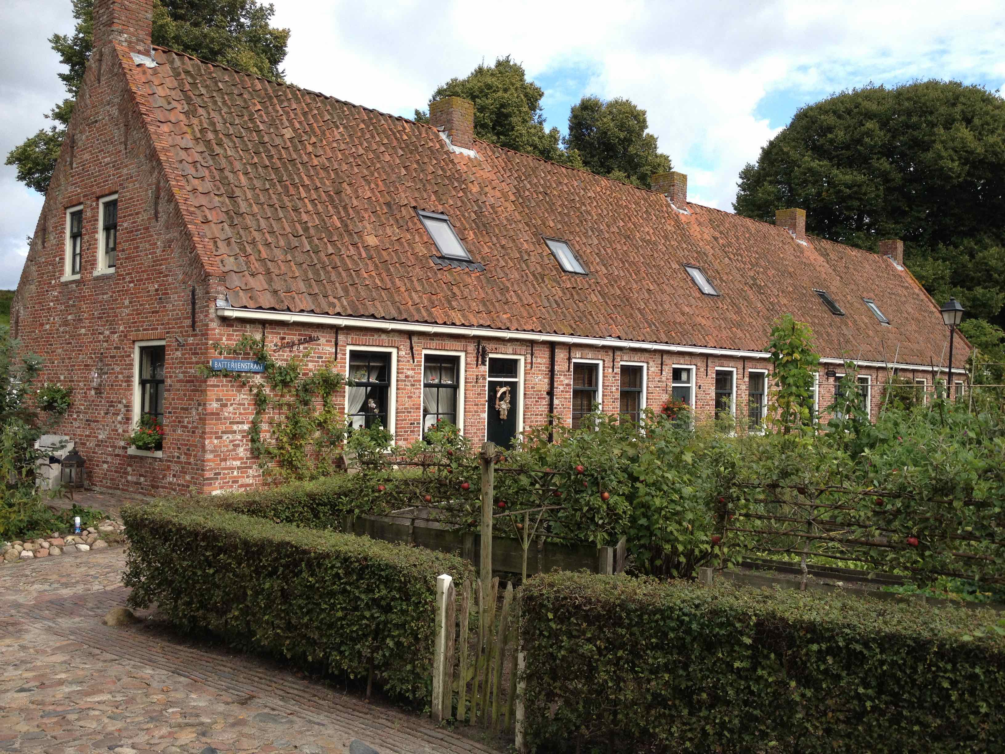
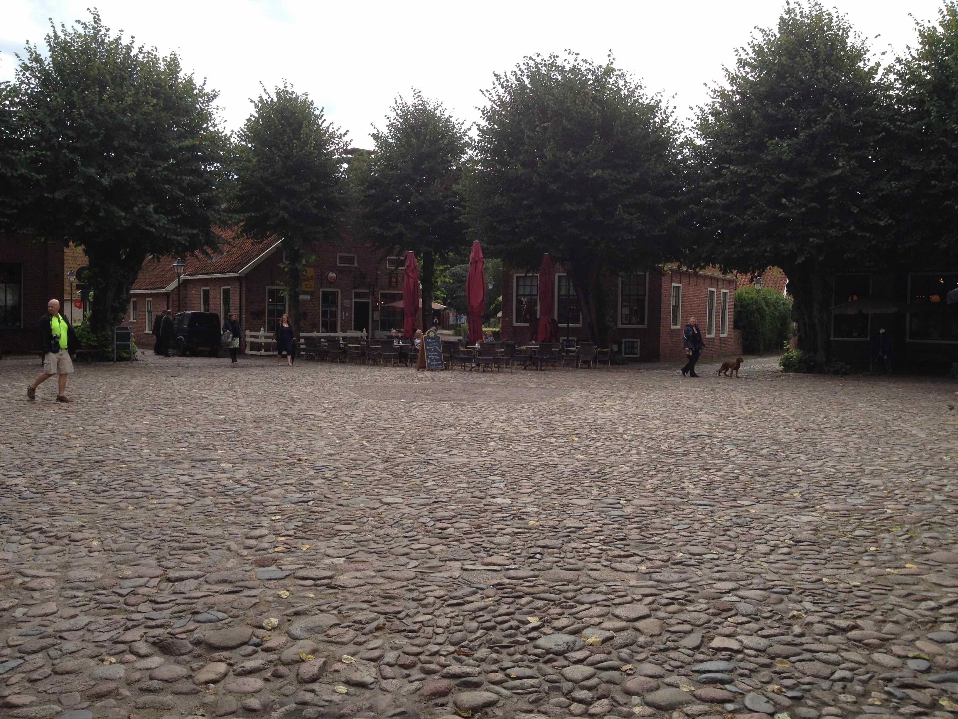
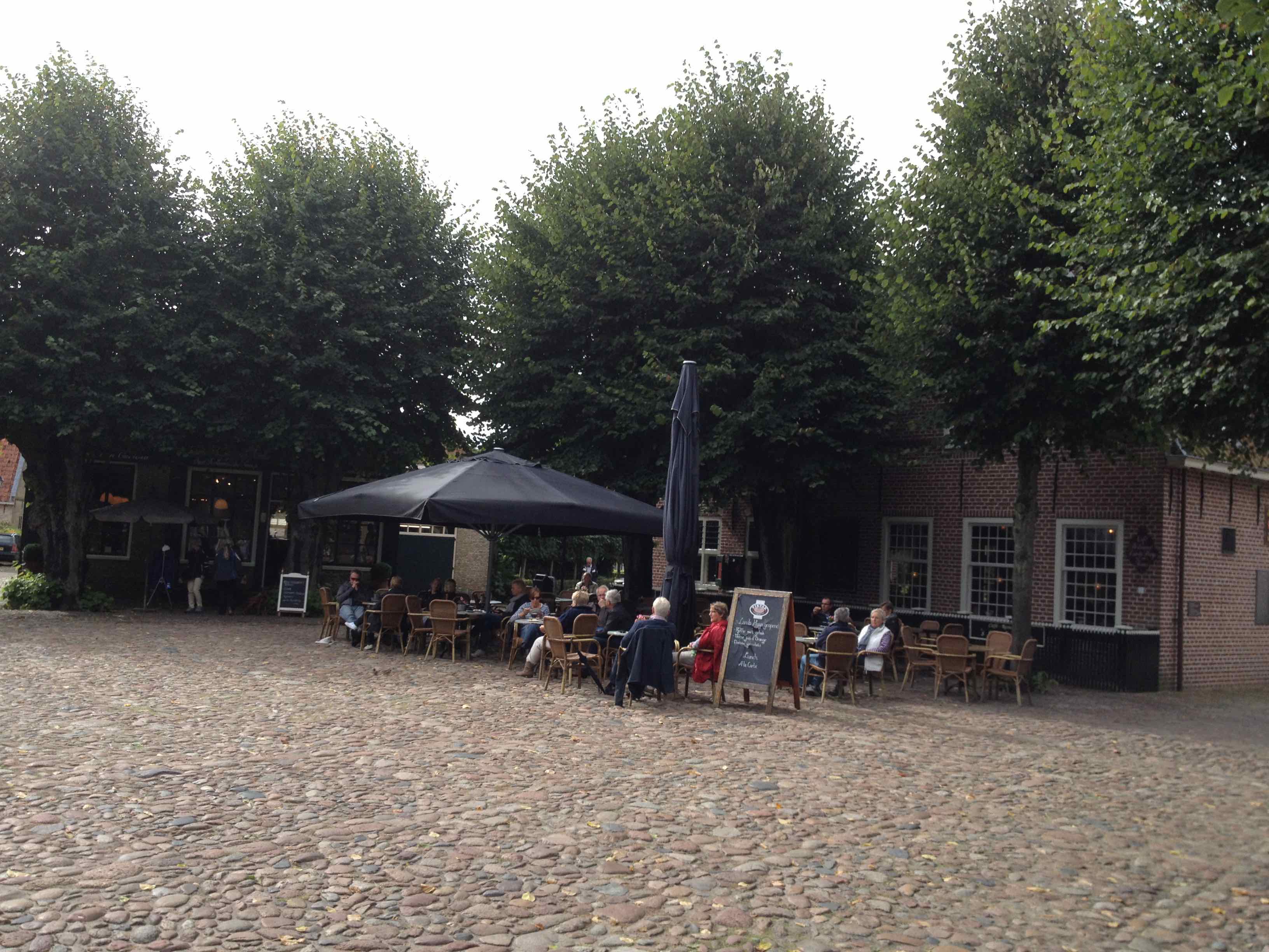
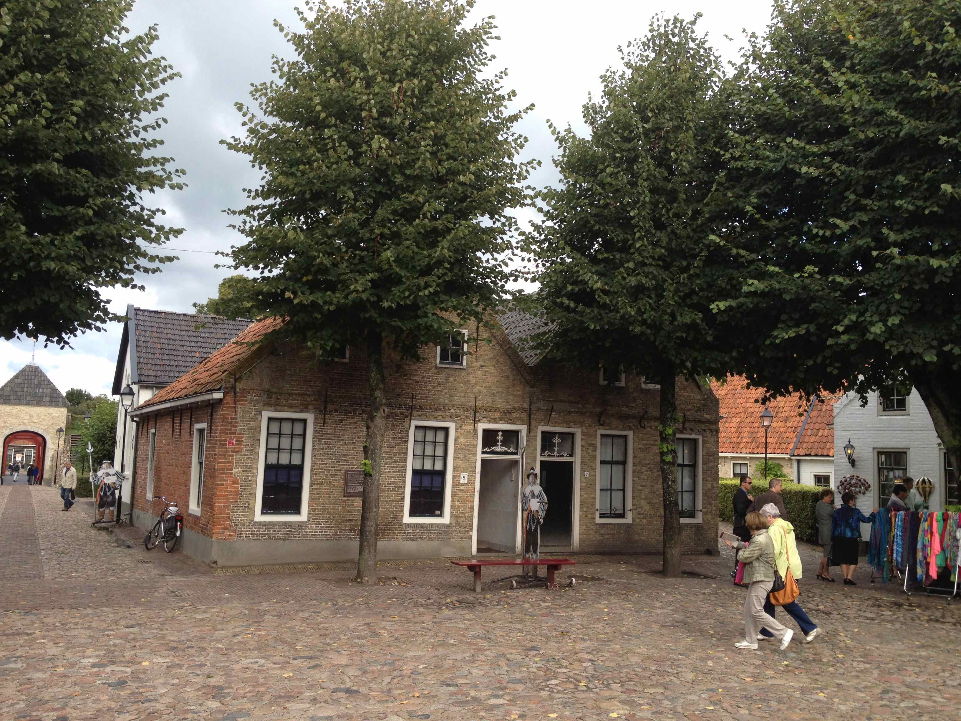
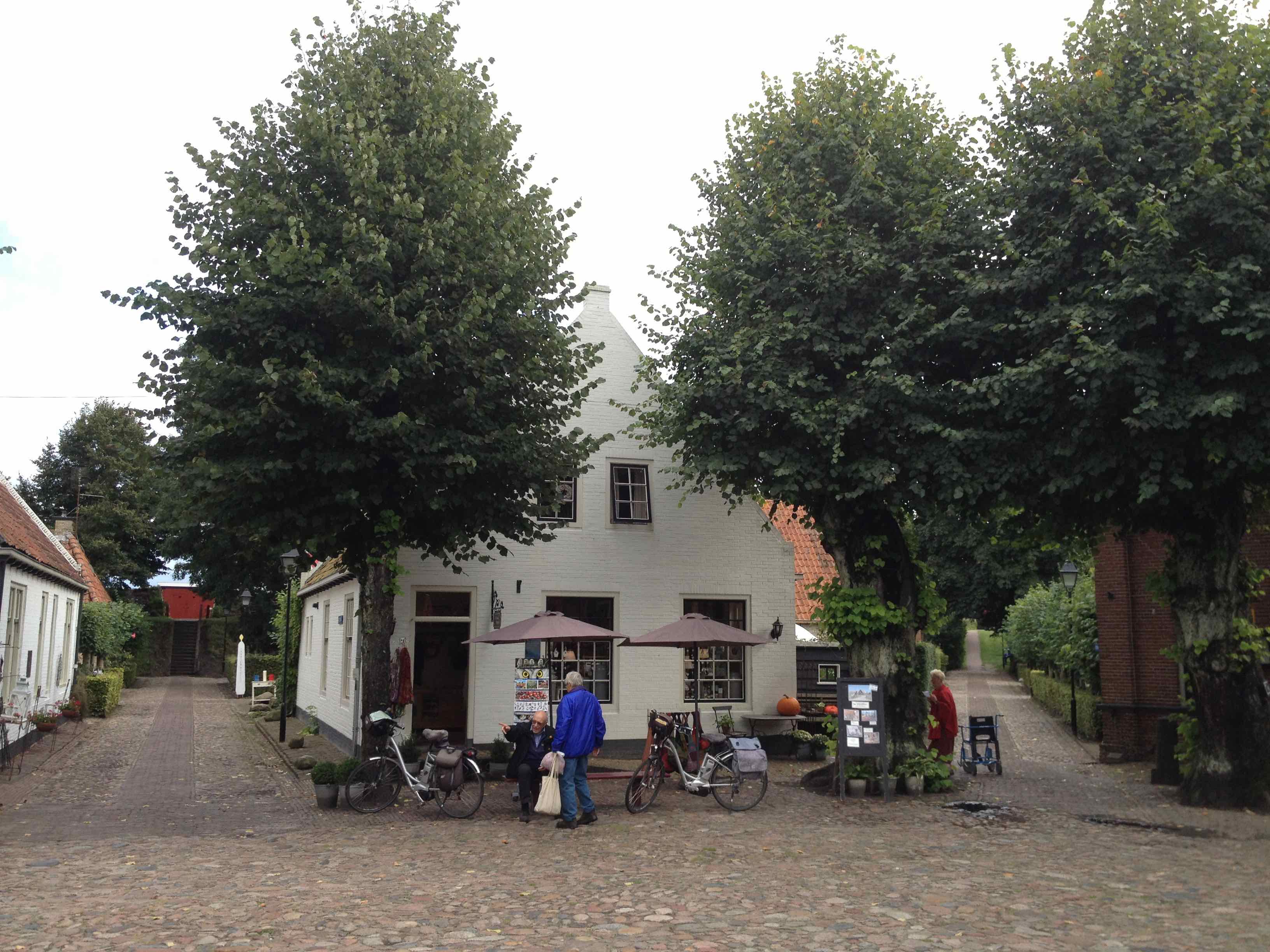
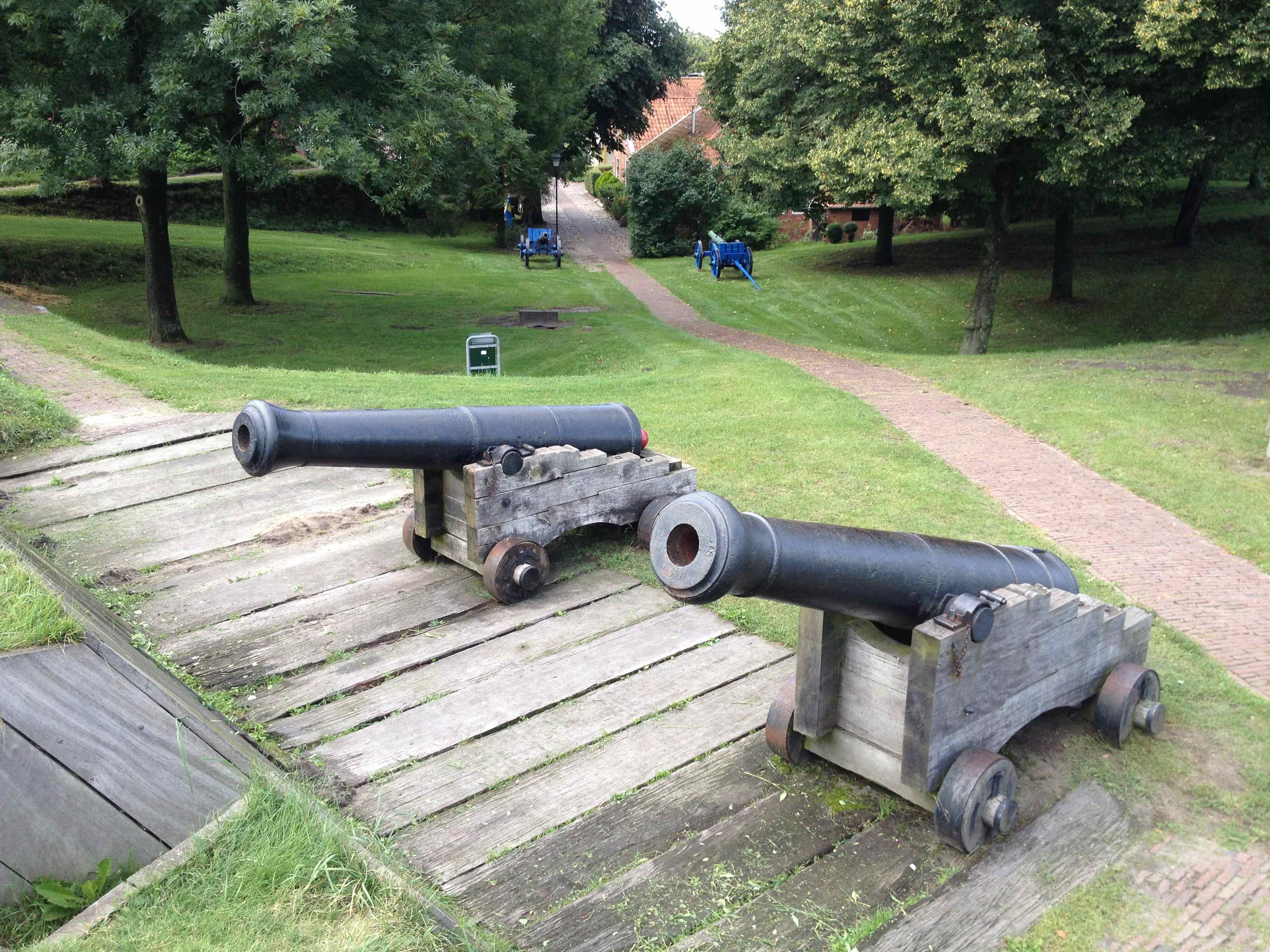
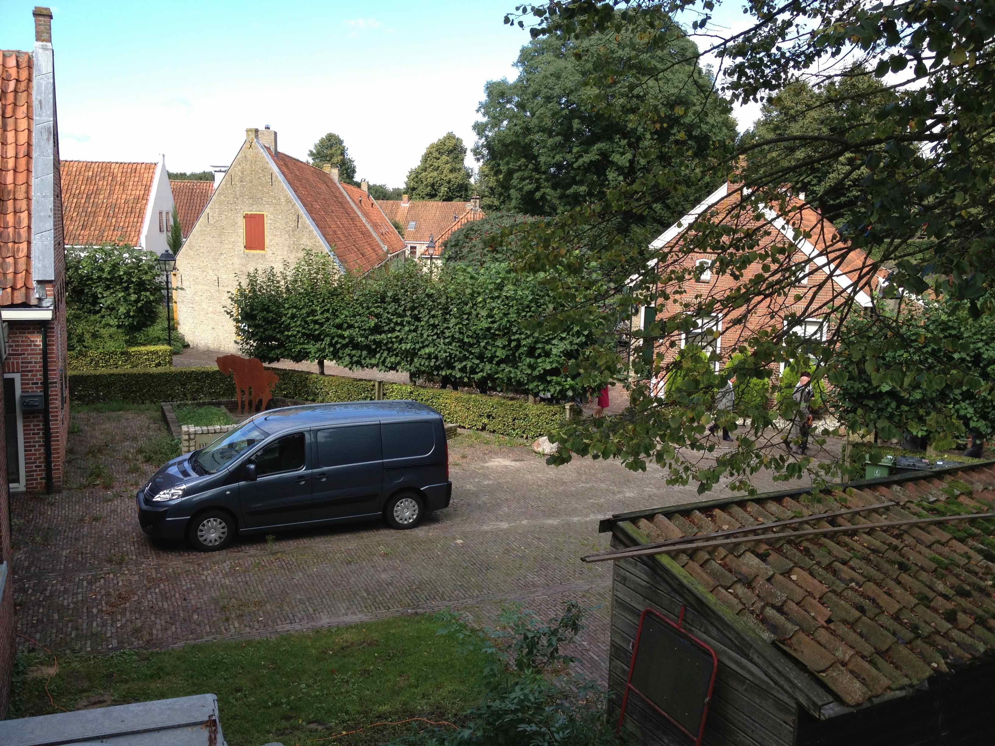
Bourtange fortress is situated in the beautiful Westerwolde in the South-East of the province of Groningen, a unique historical fortress that has no equal. Past and present go together perfectly in this small, atmospheric fortified city.
In 1580, William of Orange ordered the construction of a fortress on a sand ridge in the Bourtanger swamp, on the border with what is now Germany. In 1593 the fortress was commissioned by Willem Lodewijk van Nassau. Between 1593 and 1851, Bourtange was an important fortress. When the fortress was closed in 1851, an agricultural village was created. Only a few buildings still reminded of the glory of the past. In the sixties of the last century, the municipality of Vlagtwedde took the initiative to reconstruct the fortress. The plan was carried out between 1967 and 1992. Ramparts were rebuilt, canals were dug and soldiers' barracks were built. Visitors to the Bourtange fortress nowadays imagine themselves centuries ago. Meet the fortress that was never taken.
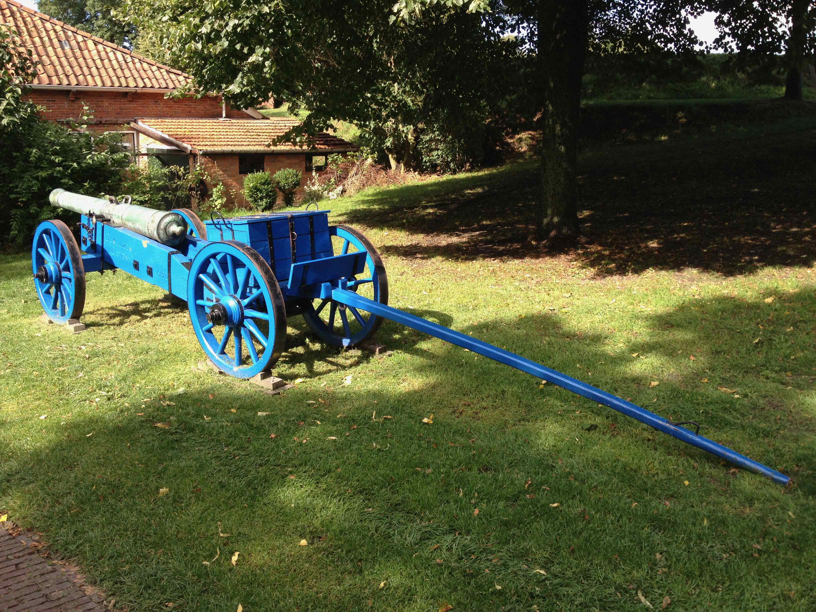
For the fortress to emerge, we must return to the Eighty Years' War. In the 16th century, our ancestors did not yet control the groundwater level. Large impassable swamps covered half of the current provinces of Groningen and Drenthe. Those swamps were only passable in a few places, hard sandy steps, including the "two hours long, bad pass" over where Bourtange would later emerge. In March 1580, the betrayal of George van Lalaing, Count of Rennenberg, the Stadtholder of Friesland, Groningen and Drenthe, appointed in 1577 by the States General, brought the city of Groningen into the hands of the Spaniards. Later in the year 1580, Prince William of Orange ordered the construction of a redoubt with five bastions on the sand ridge in the marsh area on the border with Germany. The road connecting the city of Groningen to Lingen and Westphalia ran along this sand ridge, or tange. The Spaniards used this route to supply the city, among other things. The prince hoped by constructing the redoubt to block this important route, so that the city of Groningen would be completely isolated.
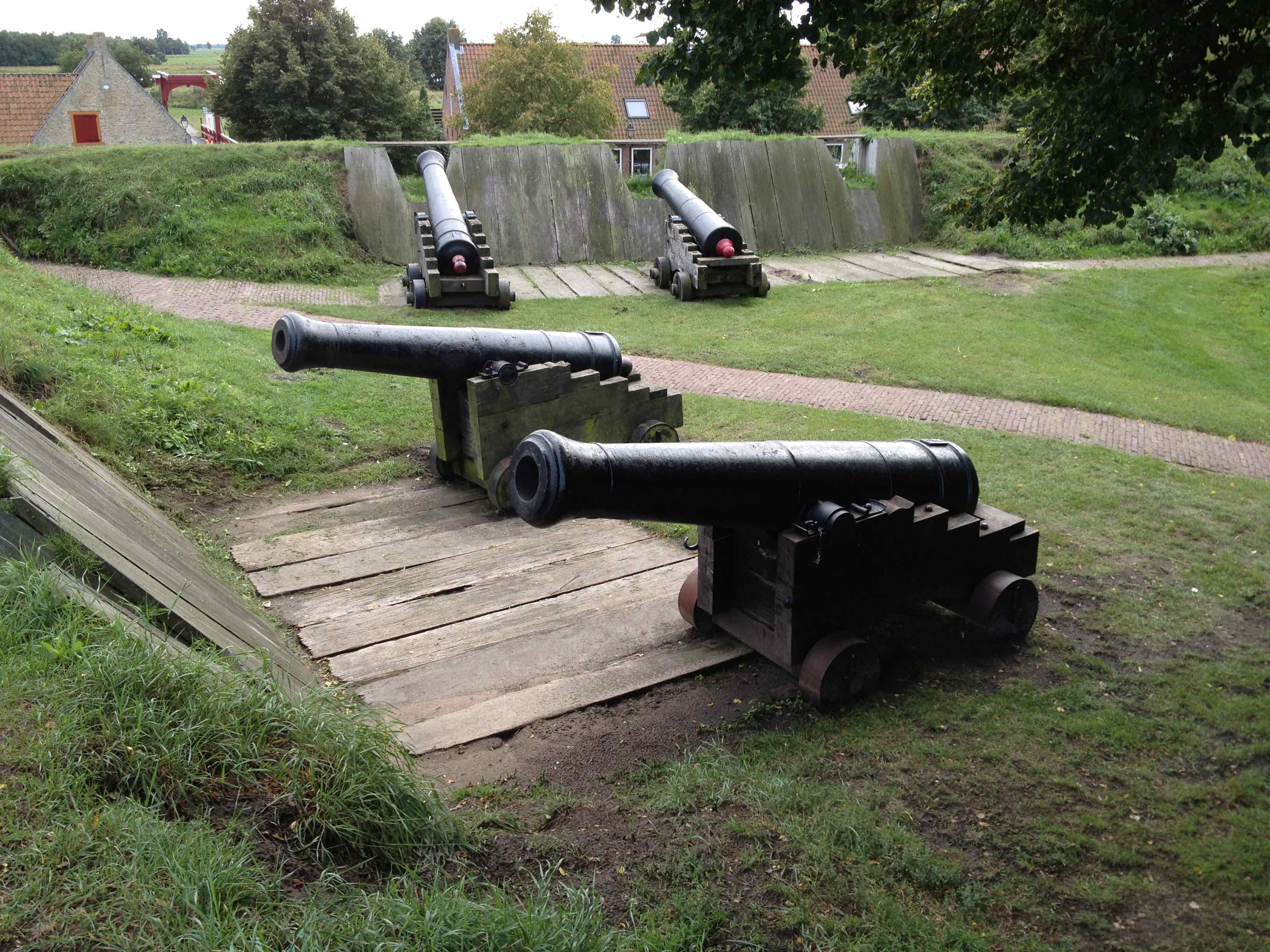
In 1619, according to the latest insights and the increased firepower of the artillery, the main wall was widened and raised. In 1631 the government of Stad en Lande realized that the swamp around Bourtange was beginning to dry up. To counter this, she decided to place a dam in the Ruiten A south-west of Bourtange and to lead the stopped water through a new channel to excavated to the fortress, called the Moddermansdiep,. The excavated soil served as a dike on the north side of the canal. In 1645 two hornworks were added on the east side outside the crown work. In 1665 an invasion of the Bishop of Munster in Westerwolde threatened. The redoubt at Bourtange had completely fallen, the palisades had collapsed, the thorn hedges on the embankments had died, the blow and the ham had fallen in front of the Vriesse Poort.
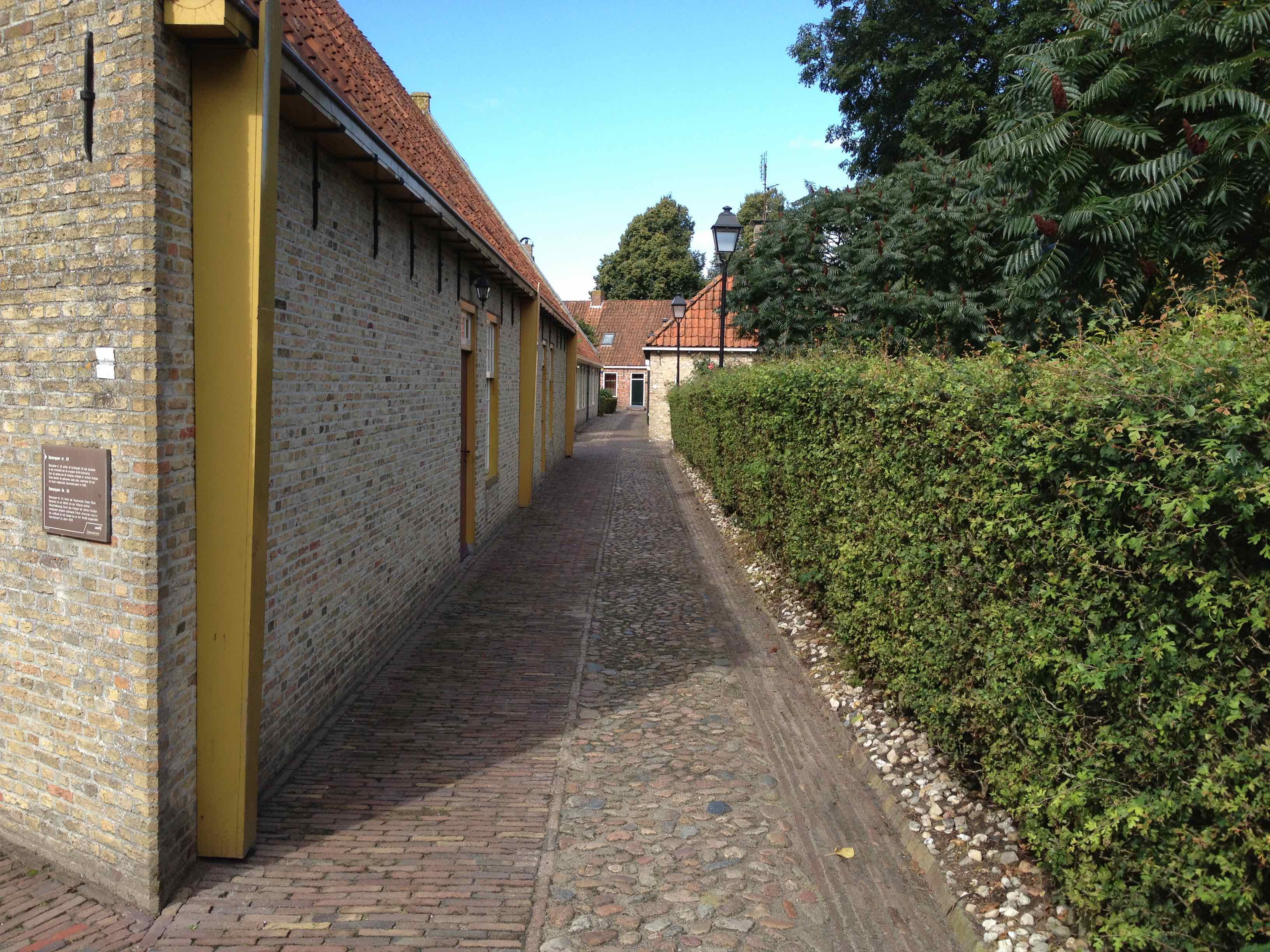
The garrison only consisted of 50 men. Everything was restored, the trees were cut down and the garrison was strengthened with a company of soldiers, for which additional barracks were built. The bishop penetrated to Winschoten, but failed to conquer Bourtange. In 1681 the swamp around the Bourtange redoubt appeared to be completely dry, because the farmers had cut through the slate dikes and dug ditches and turned the swamp into pastures and courts. It was not until 1737 before an order was submitted by engineer Pieter de la Rive to restore the Bourtange redoubt to a defensible condition, under orders from the States General. This plan was carried out in the years 1739 to 1742. Two ravelins and a crescent were added on the east side. The forecourt was redecorated into a glacial area, gradually extending to the fortress, bounded on the east by an excavated wet horizon, 24 hectares, 31 cm below the summer water level. The buildings within the fortress were also completely completed at that time. Thus the fortress had reached its greatest size.
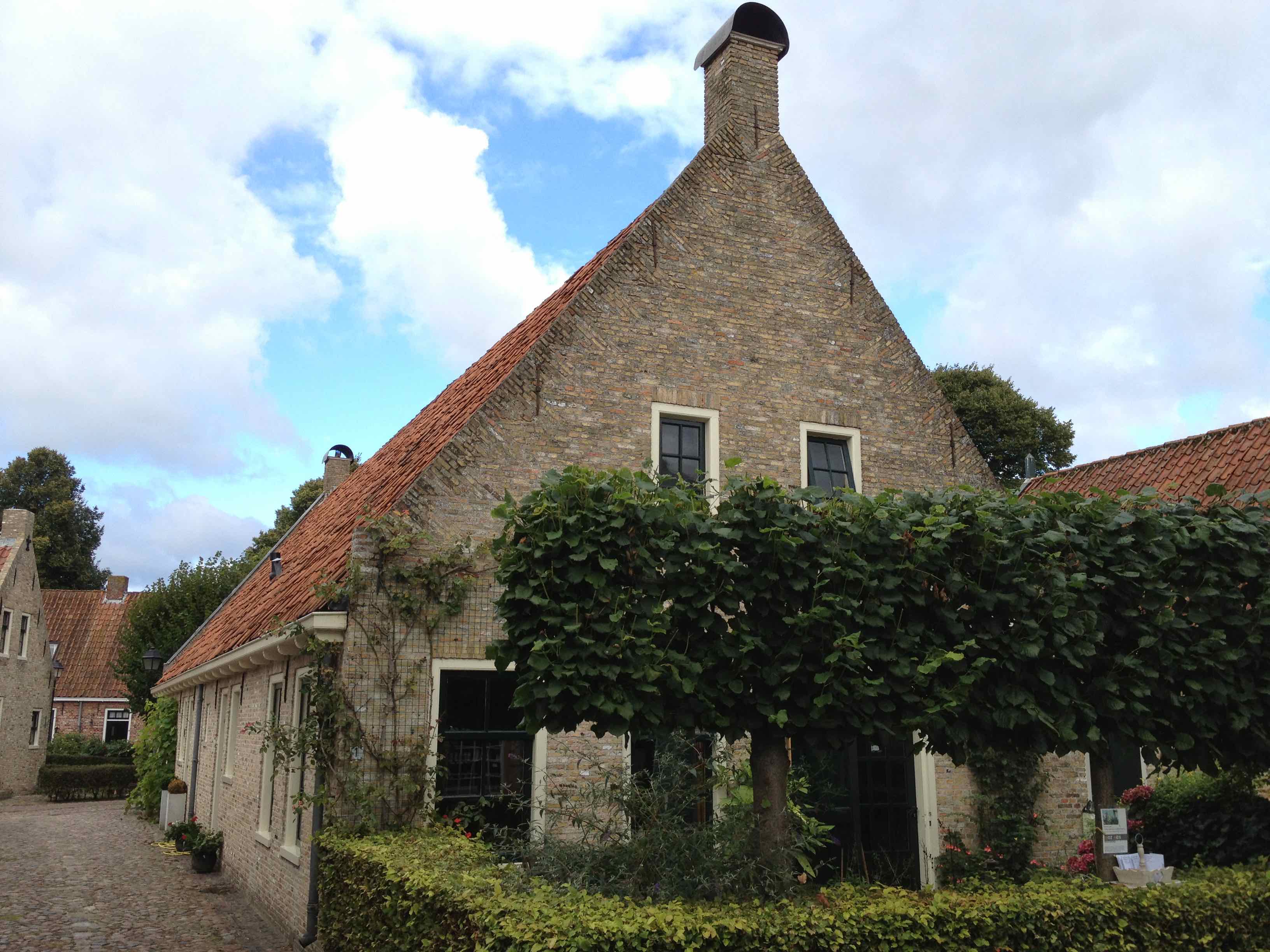
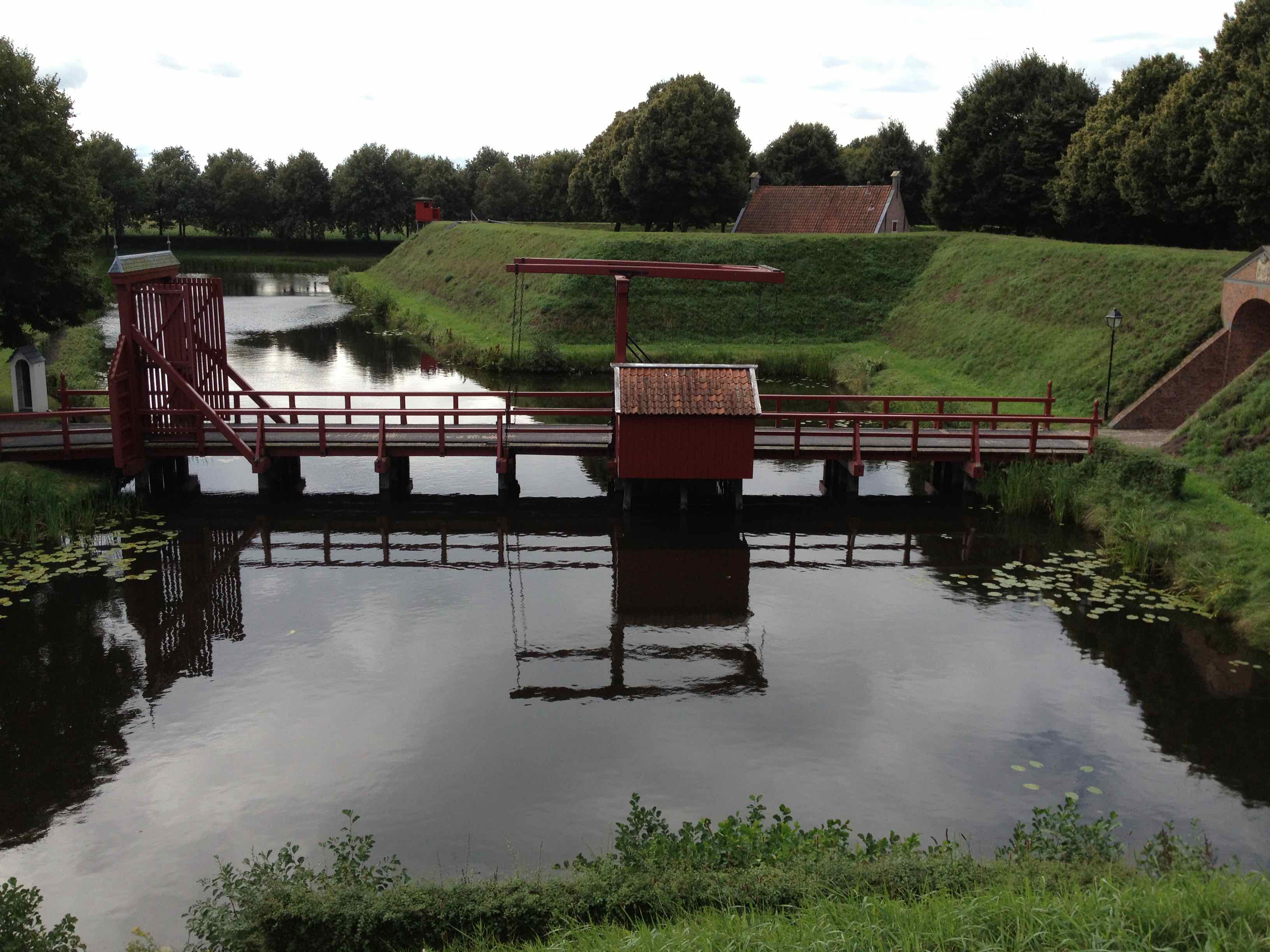
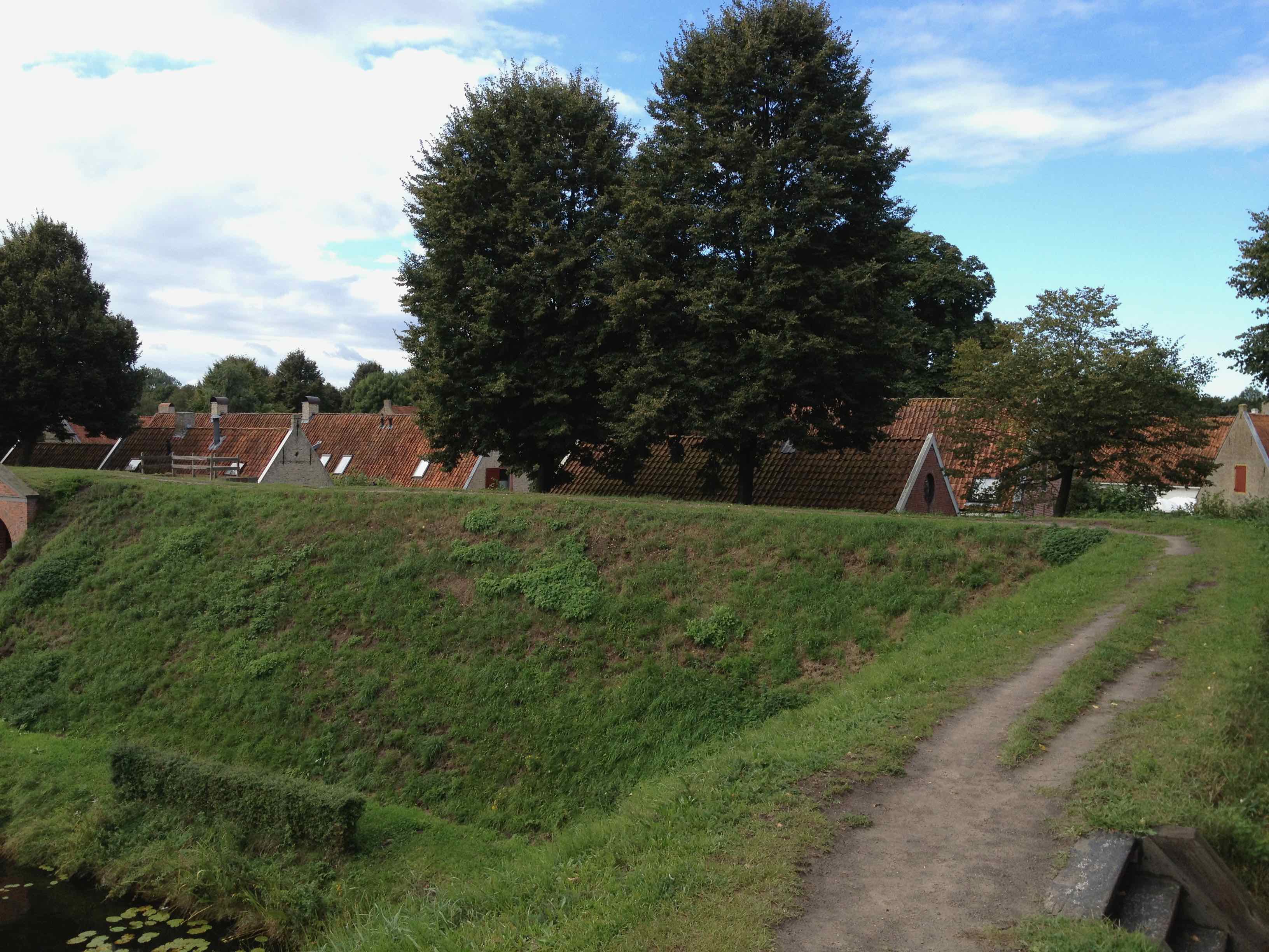
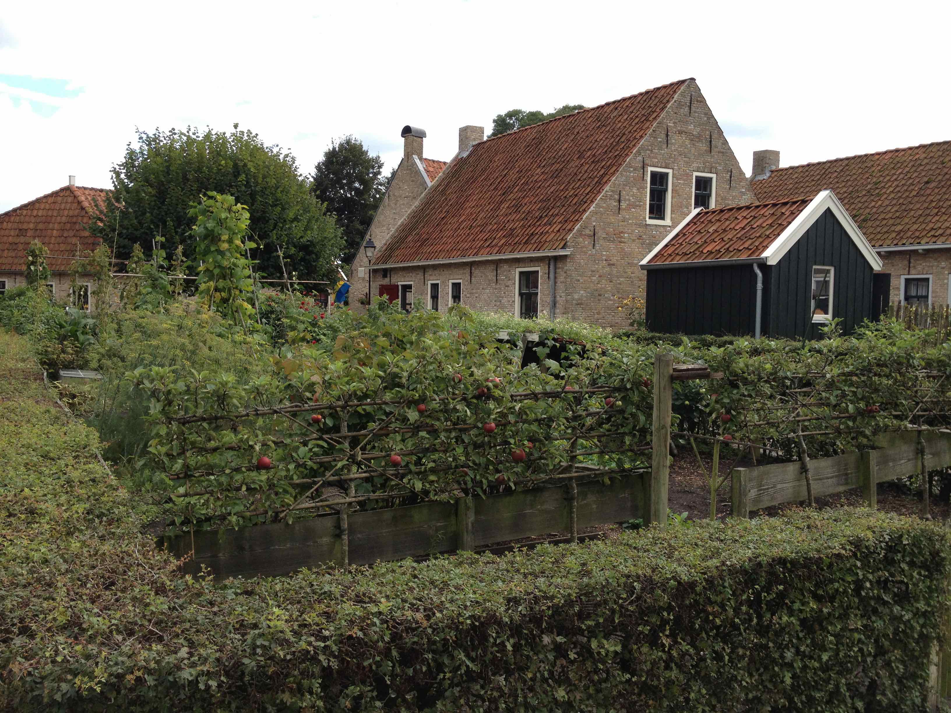
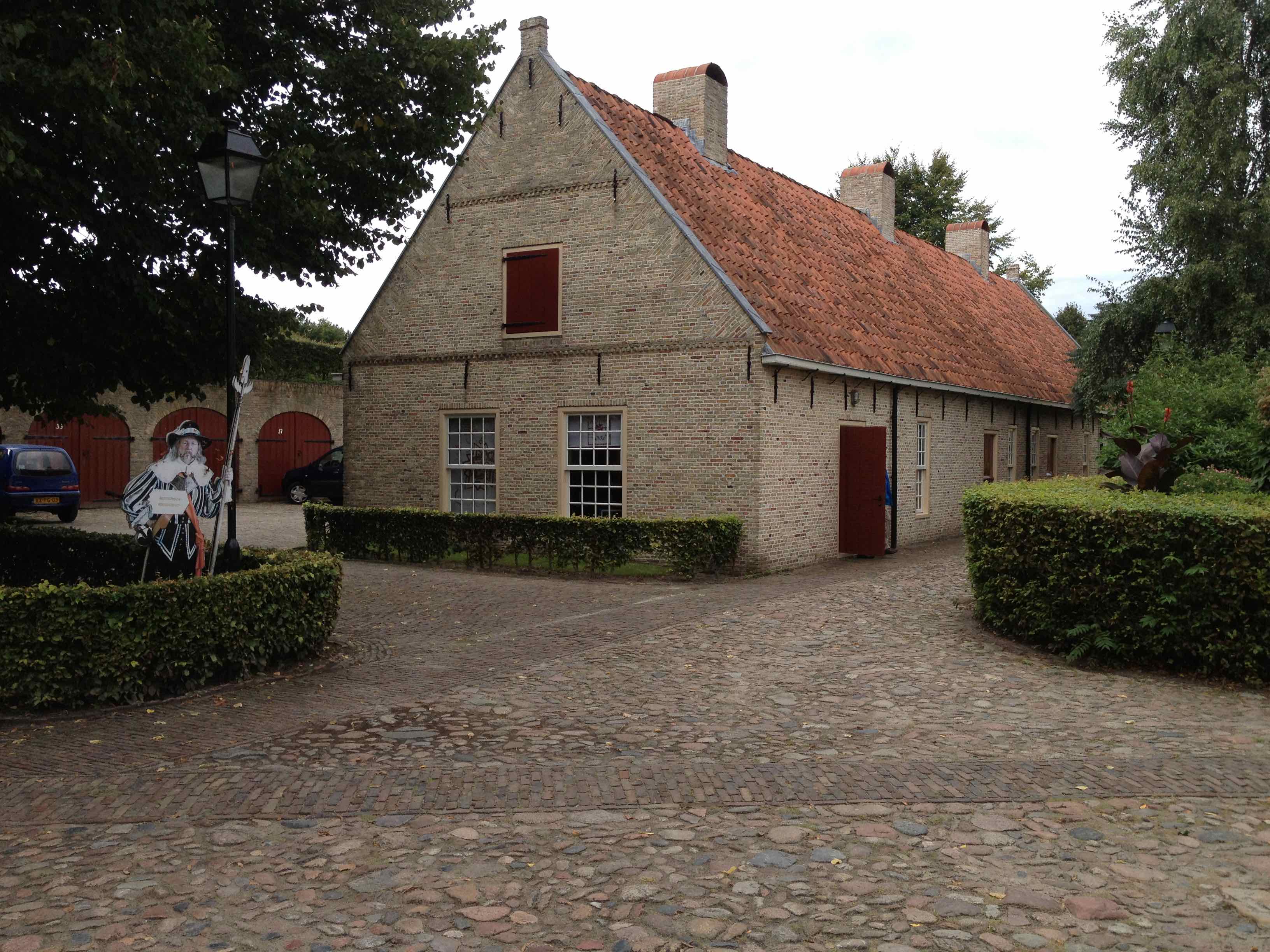
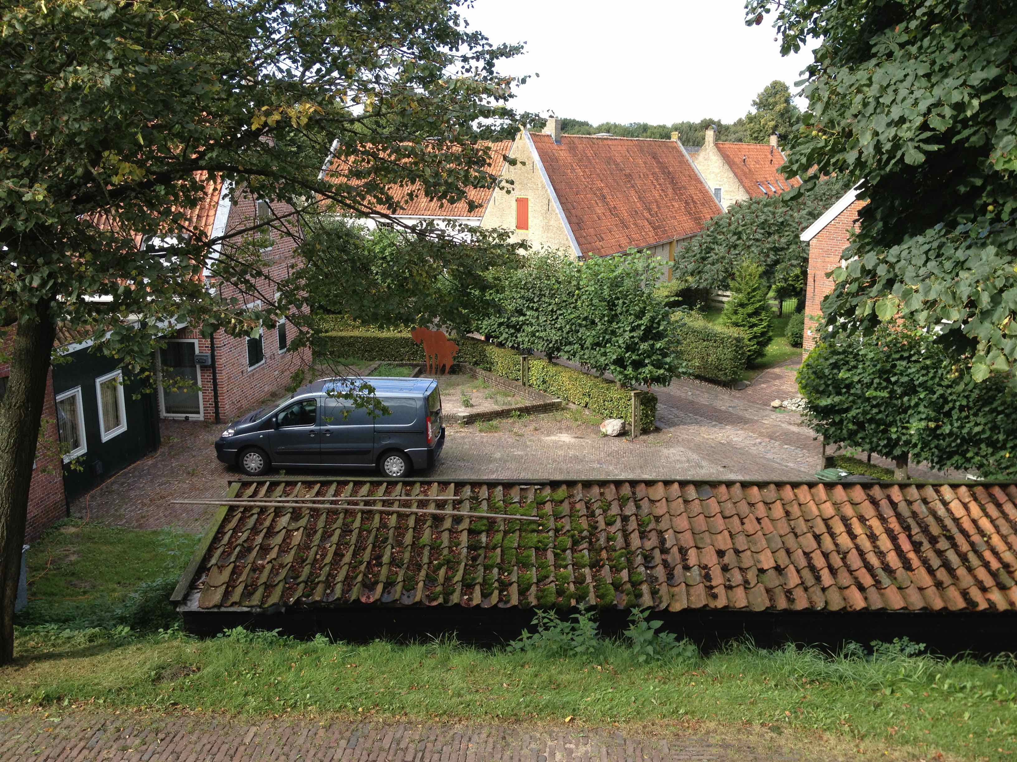
From the early 1970s, the digging of the canals, the formation of the ramparts and the reconstruction of the buildings began. All this in the style of the past, largely with the help of old maps and drawings. Of course, several adjustments were made to make the fortress livable. Contemporary demands have been incorporated in the character of the past. For example, the former warehouses under the ramparts are now garage boxes for the residents of the fortress. In 1992 the work was finished. Two more buildings were completed in 2001. A soldier barracks and the former coach house. The buildings are used as hotel accommodation. After many years of work, the Bourtange fortress is almost the same as in 1742, except for the 'Backhuys'.
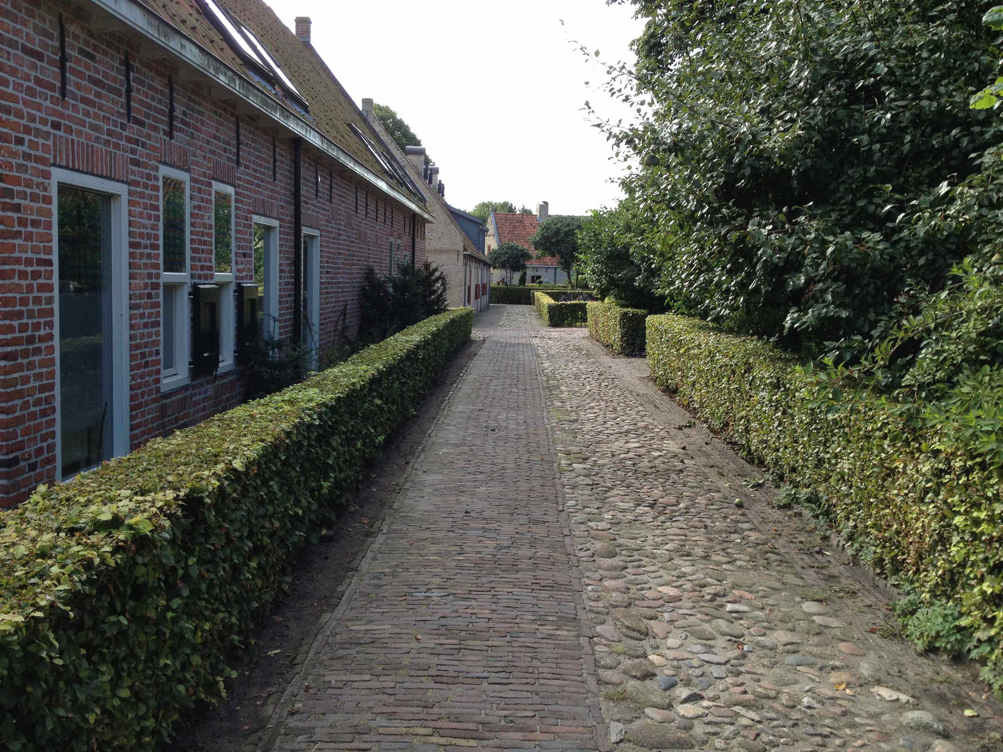
The fortress has been completely reconstructed. In addition to the cultural-historical value of the project, the Wet Horizon is a good addition for the visitors of the fortress, because it can contribute to a longer duration of stay. In addition, it creates employment and offers opportunities for new sources of income. The excavated sandy soil from the area will be used to raise the adjacent area of the Groninger Landscape in several places, creating an hilly terrain where tourists can cycle and walk.
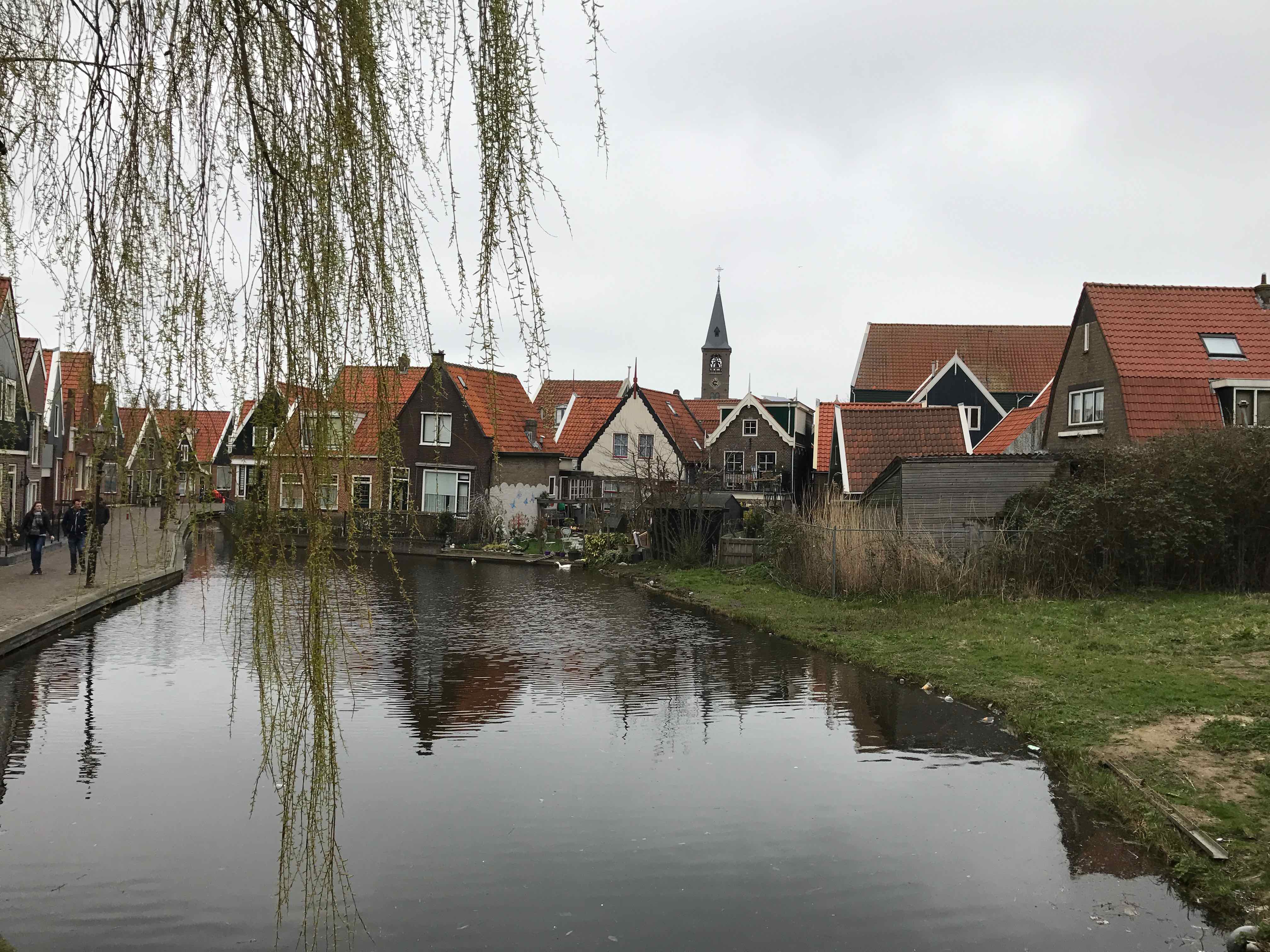
Volendam is a charming fishing village located in the province of North Holland in the Netherlands. Situated on the eastern shore of the IJsselmeer, Volendam is known for its traditional architecture, cultural heritage, and vibrant atmosphere.
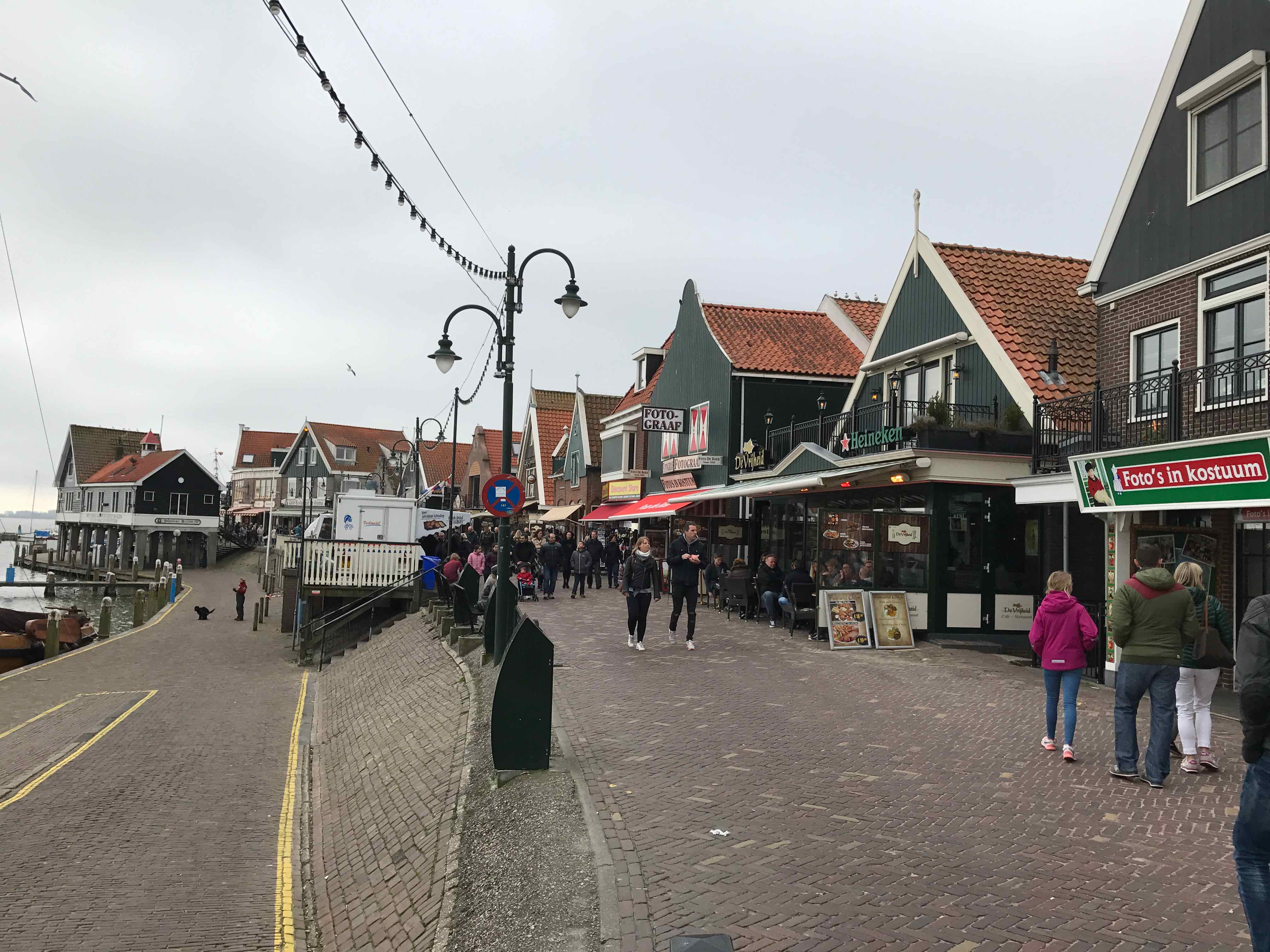
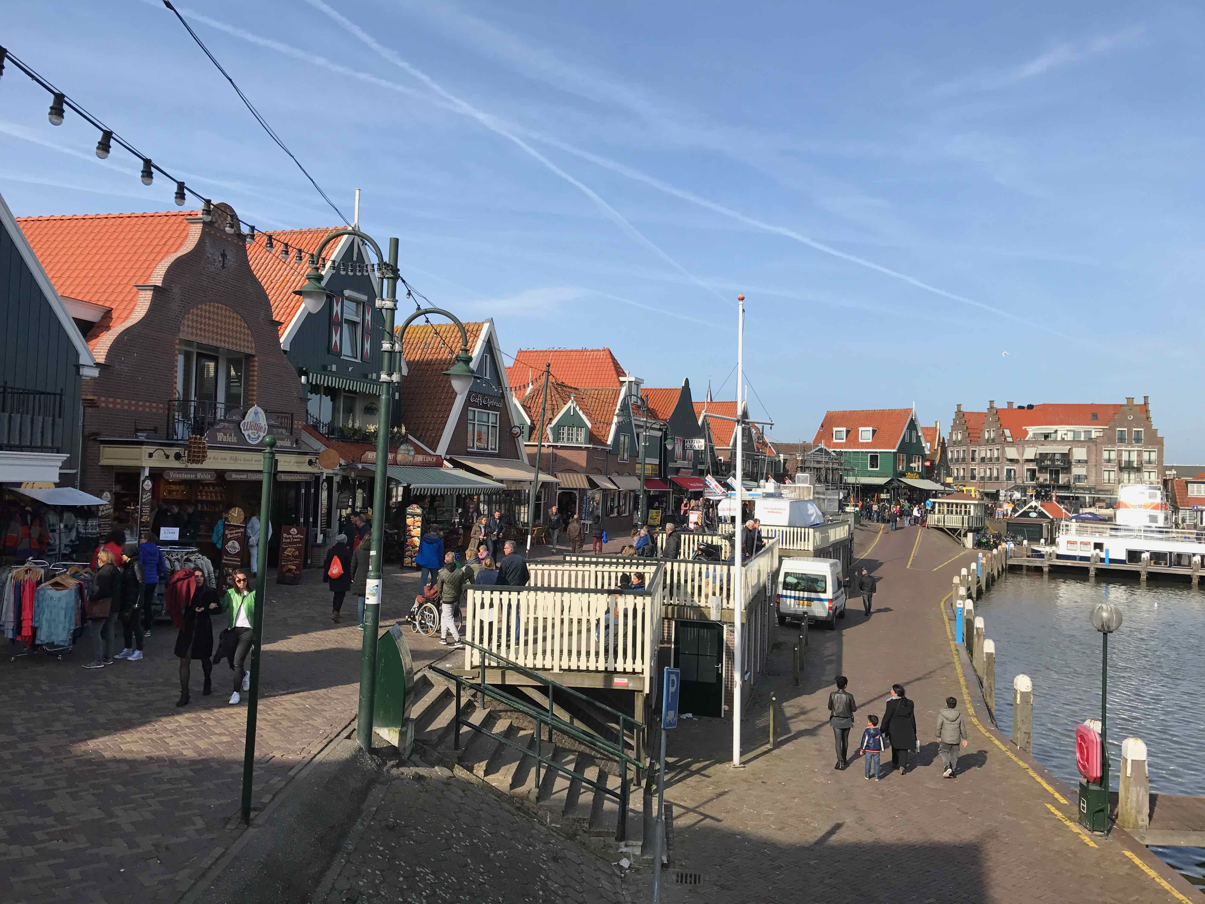
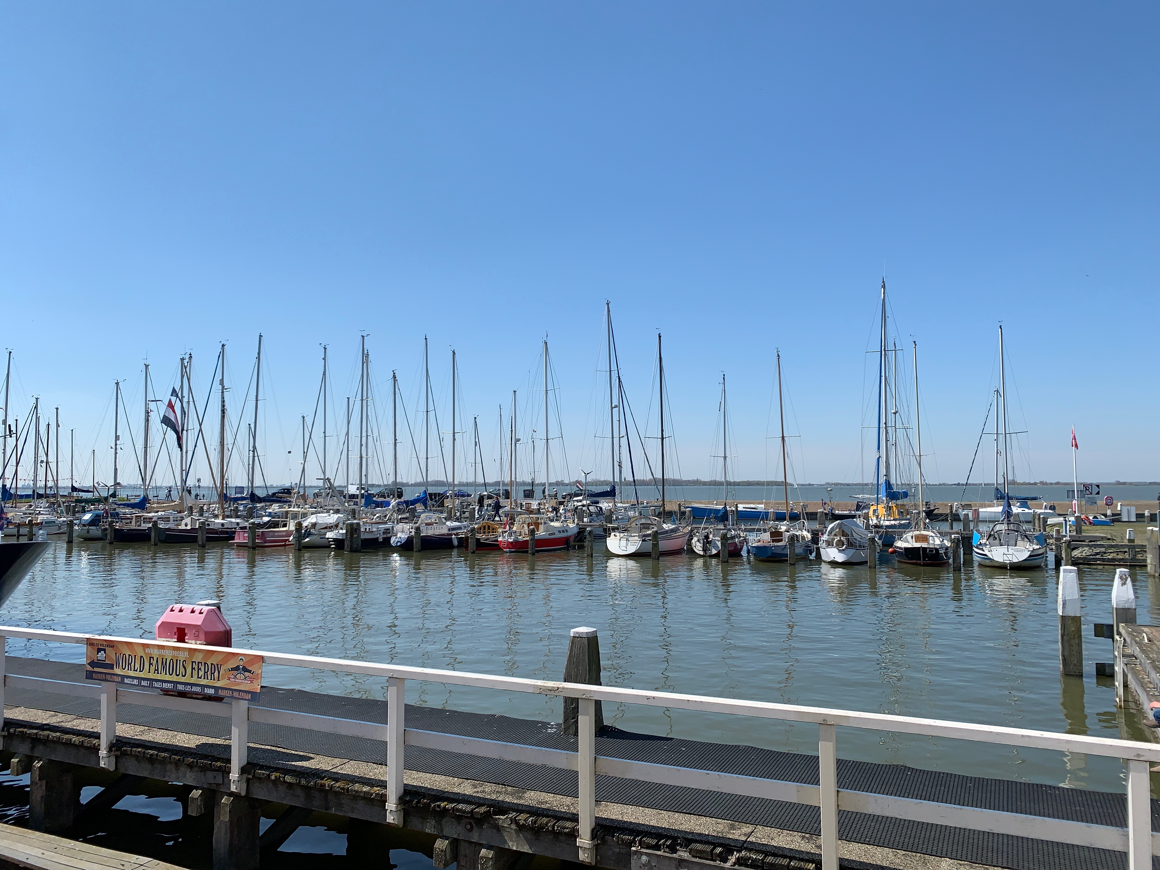
Volendam has a rich history as a fishing village, and it still maintains its strong connection to its maritime roots. The village's harbor is a focal point, bustling with fishing boats and lined with colorful houses. Visitors can take a stroll along the waterfront, watch fishermen at work, or even embark on a fishing excursion themselves.
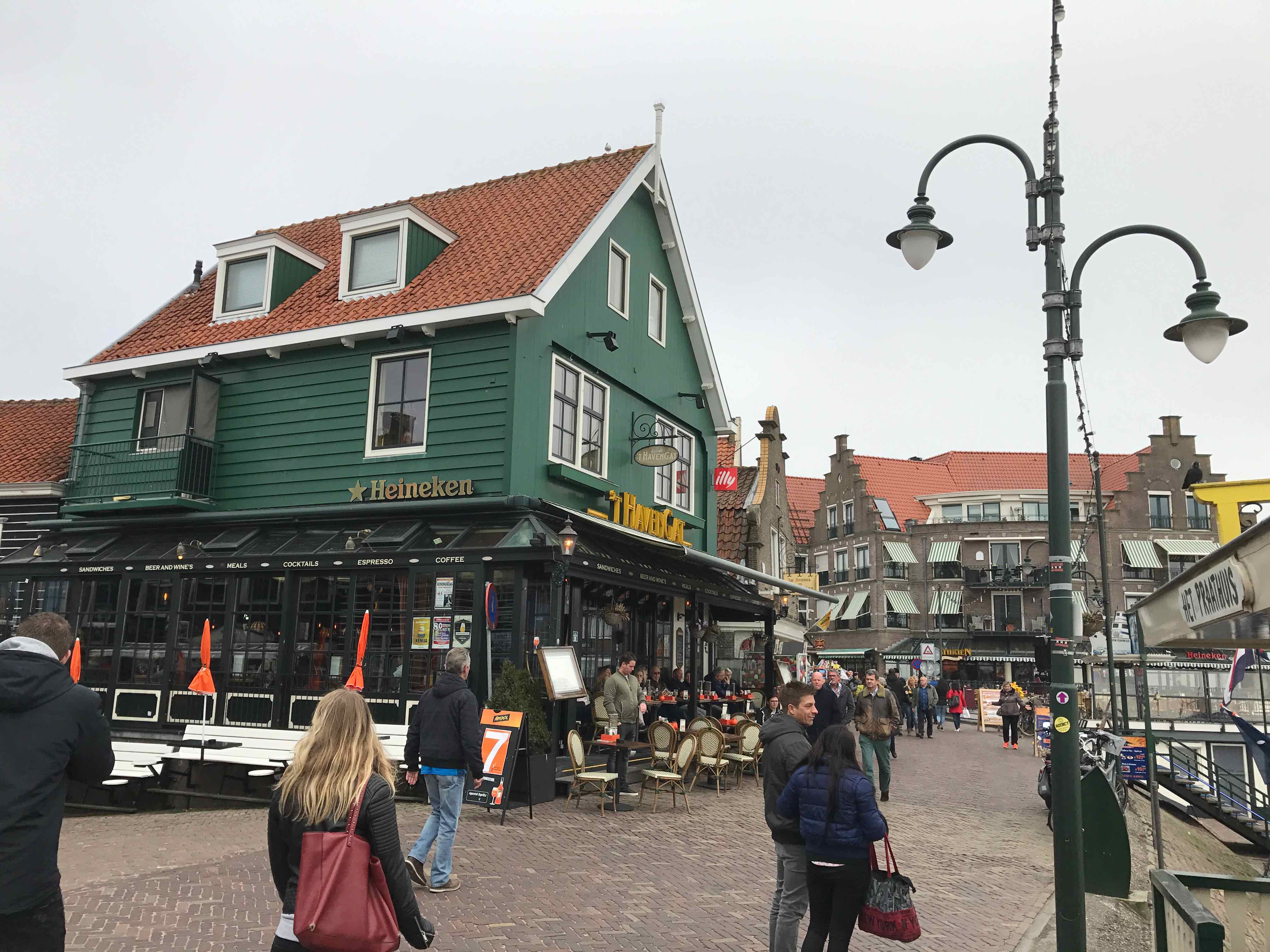
One of the main attractions in Volendam is its traditional architecture. The village is renowned for its characteristic wooden houses, often painted in bright colors and adorned with decorative elements. The streets of Volendam offer a delightful ambiance for a leisurely walk, with shops selling traditional crafts, clothing, and souvenirs.
Volendam is also known for its traditional costumes, especially the attire worn by women. These colorful costumes are often seen during festive occasions or worn by locals working in traditional roles. Visitors have the opportunity to try on these costumes and have their photographs taken in traditional Volendam attire.
The village is home to several museums that provide insights into the local culture and history. The Volendams Museum showcases the history of the village, including displays on fishing, traditional clothing, and local traditions. The Palingsound Museum celebrates the popular Dutch music genre known as "palingsound," which originated in Volendam.
Volendam is famous for its fresh seafood, particularly smoked eel, herring, and other traditional Dutch delicacies. There are numerous restaurants and cafes where visitors can savor these local specialties while enjoying the scenic views of the harbor.
Volendam is a popular tourist destination and can be quite busy, especially during the summer months. It is easily accessible from Amsterdam, with regular bus connections and a ferry service across the IJsselmeer. Parking facilities are available for those traveling by car.
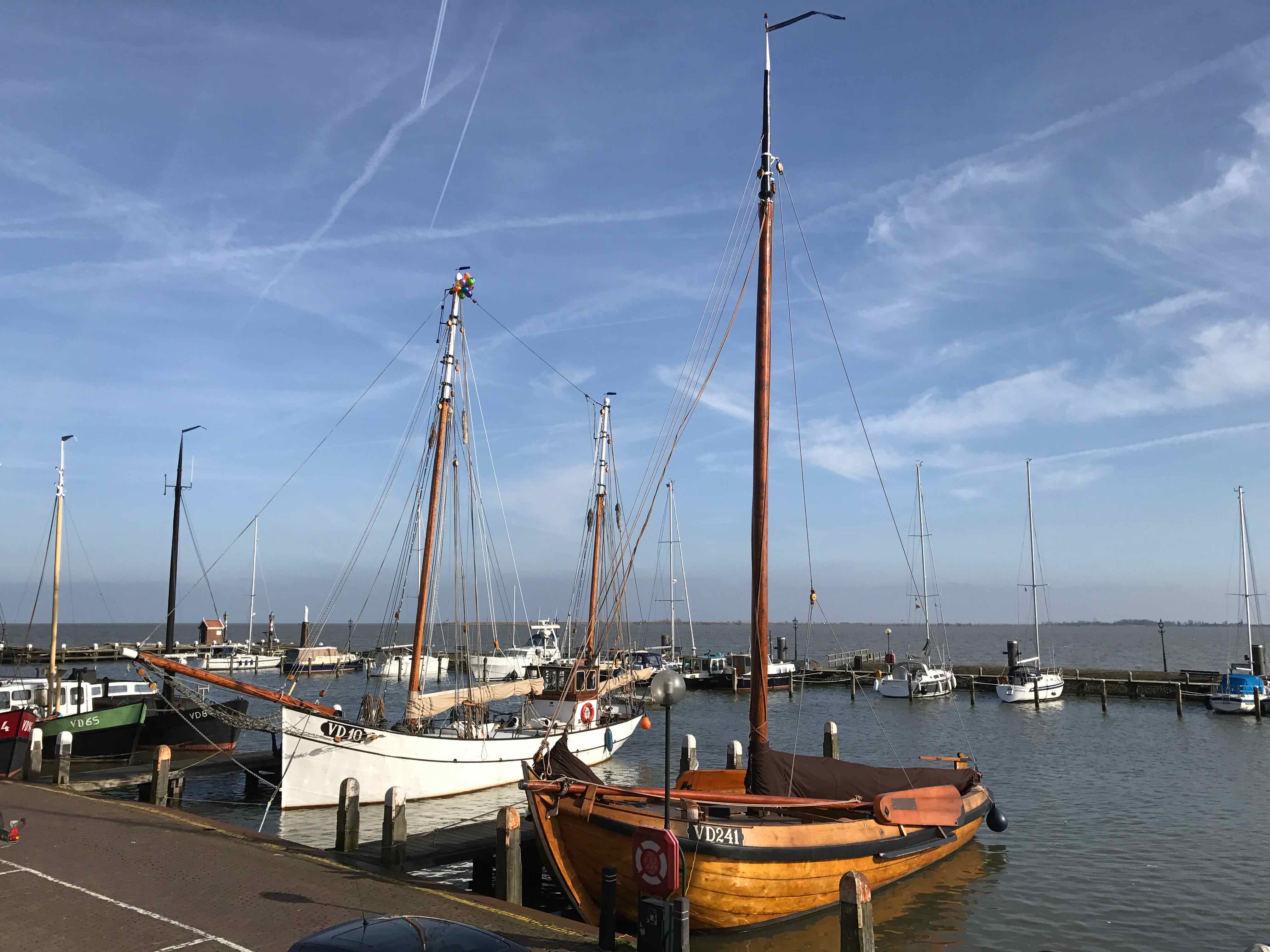
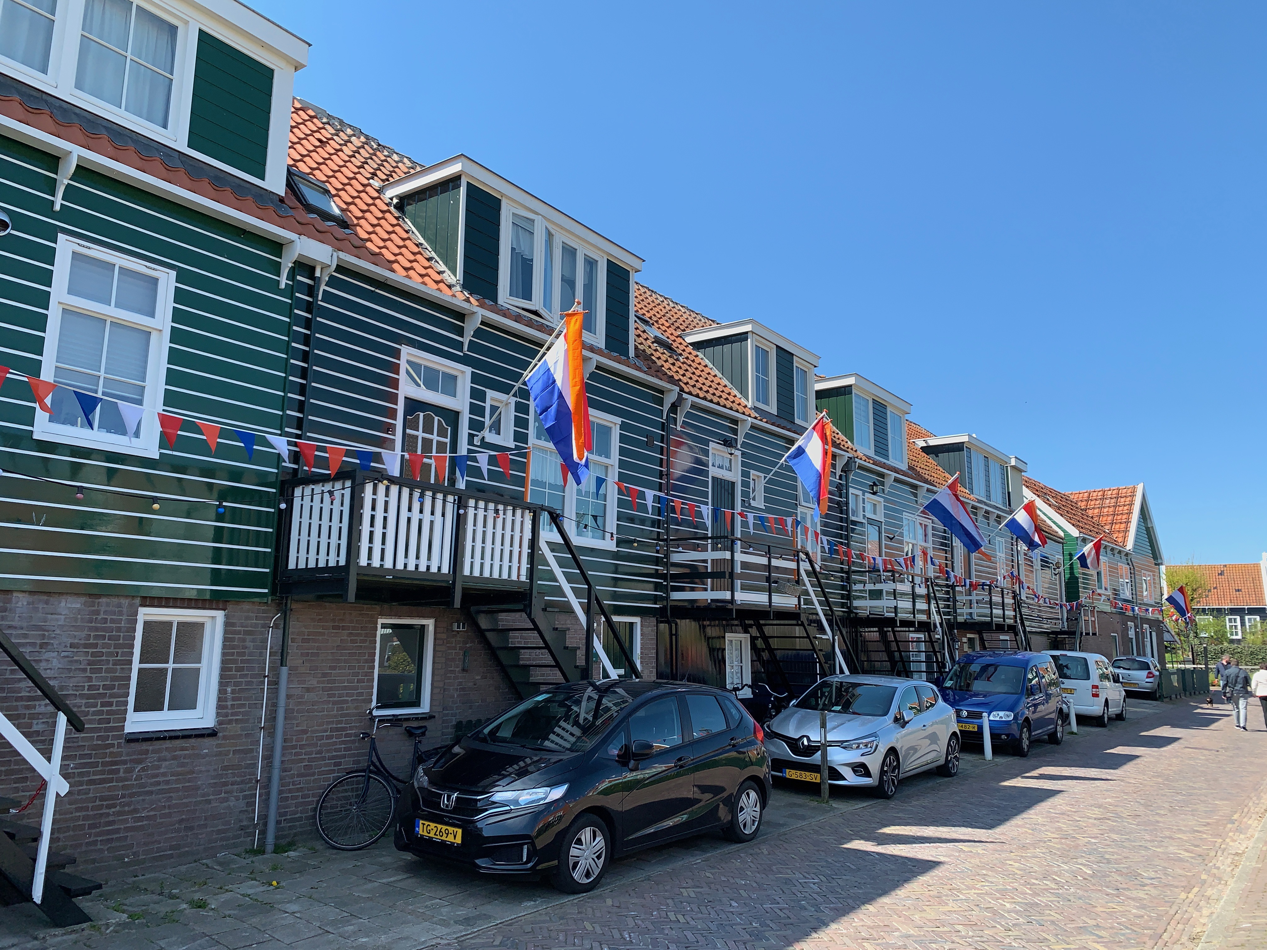
The beautiful peninsula of Marken is surrounded by the Gouwzee and the Markermeer. Until 1957 Marken was an isolated island. Today, Marken is connected to the mainland by a dam. First in the Zuiderzee and later in the IJsselmeer.
In the thirteenth century the first inhabitants were monks from Friesland. Because the sea regularly flowed over the island, the ground was extremely fruitful. At that time, the inhabitants mainly lived from livestock breeding and agriculture. Later, the population of Marken also lived from fishing, although agriculture remained the most important source of income.
Discover the authentic Marken and the authentic Taverne
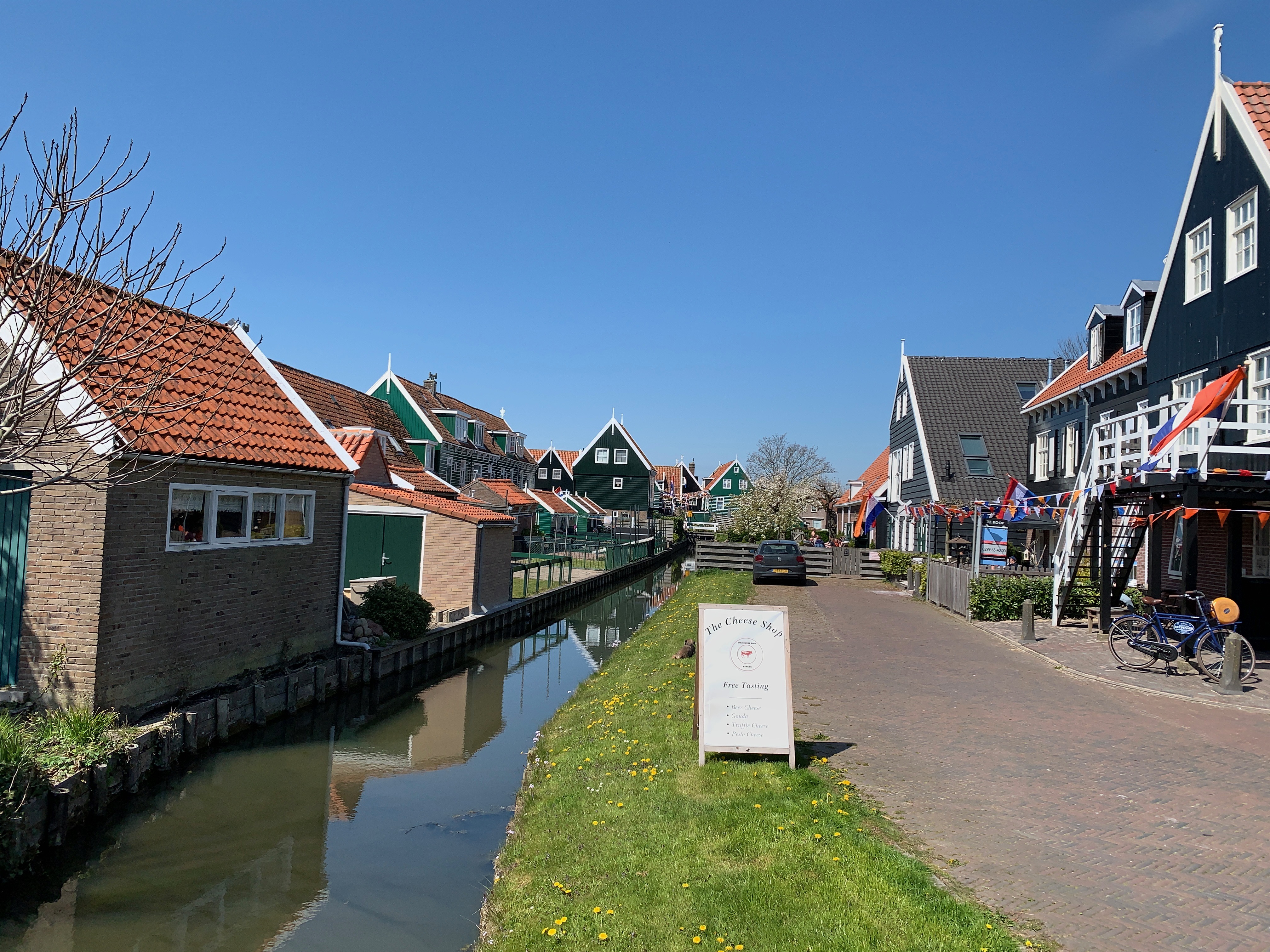
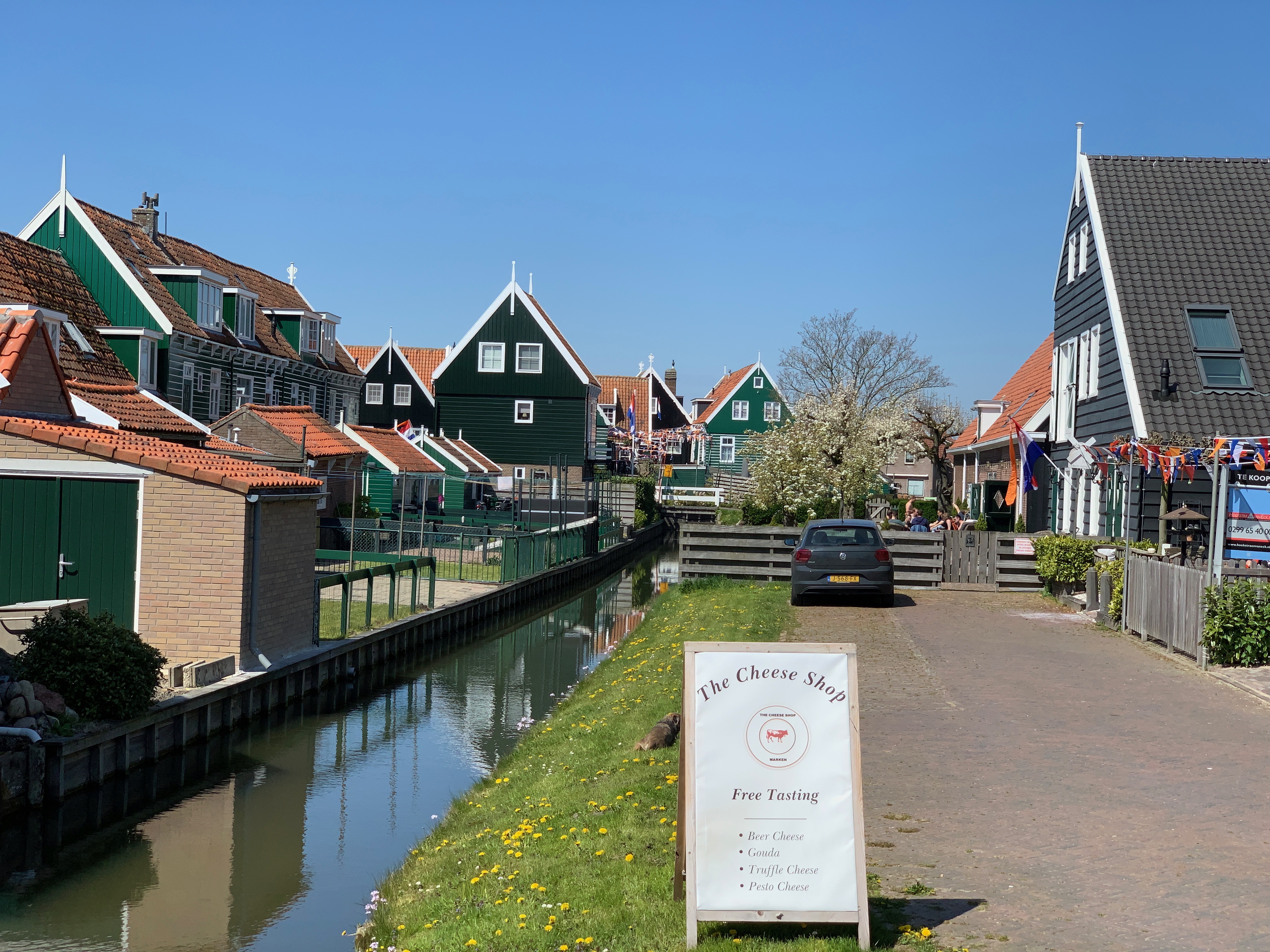
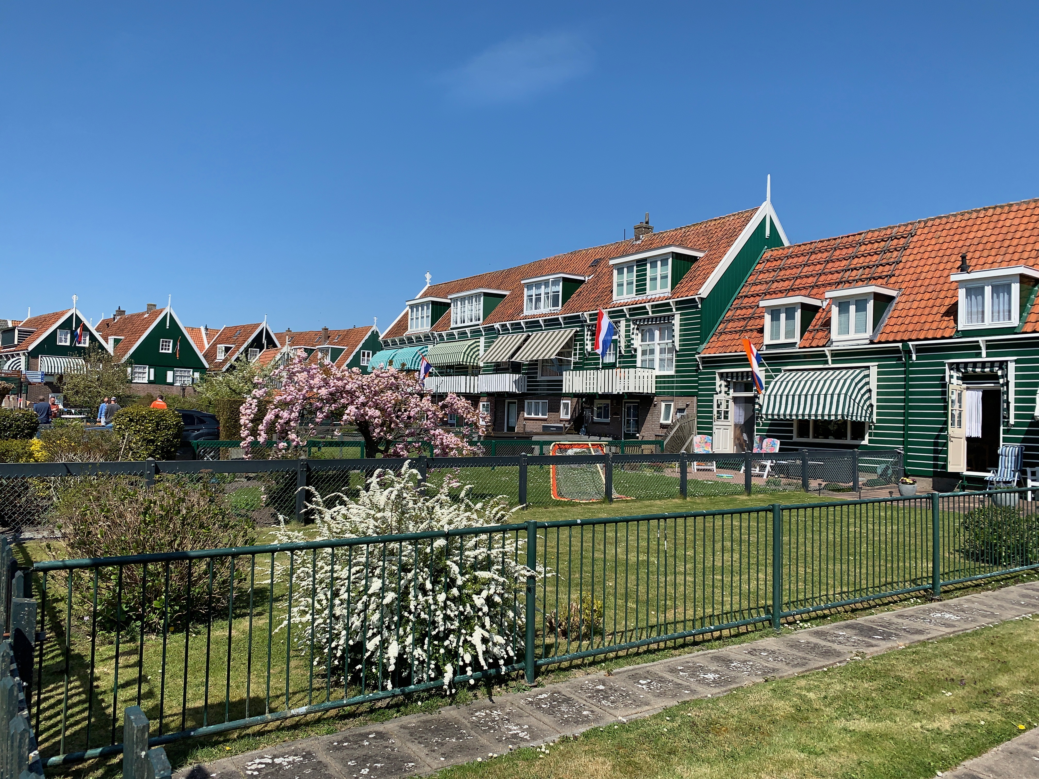
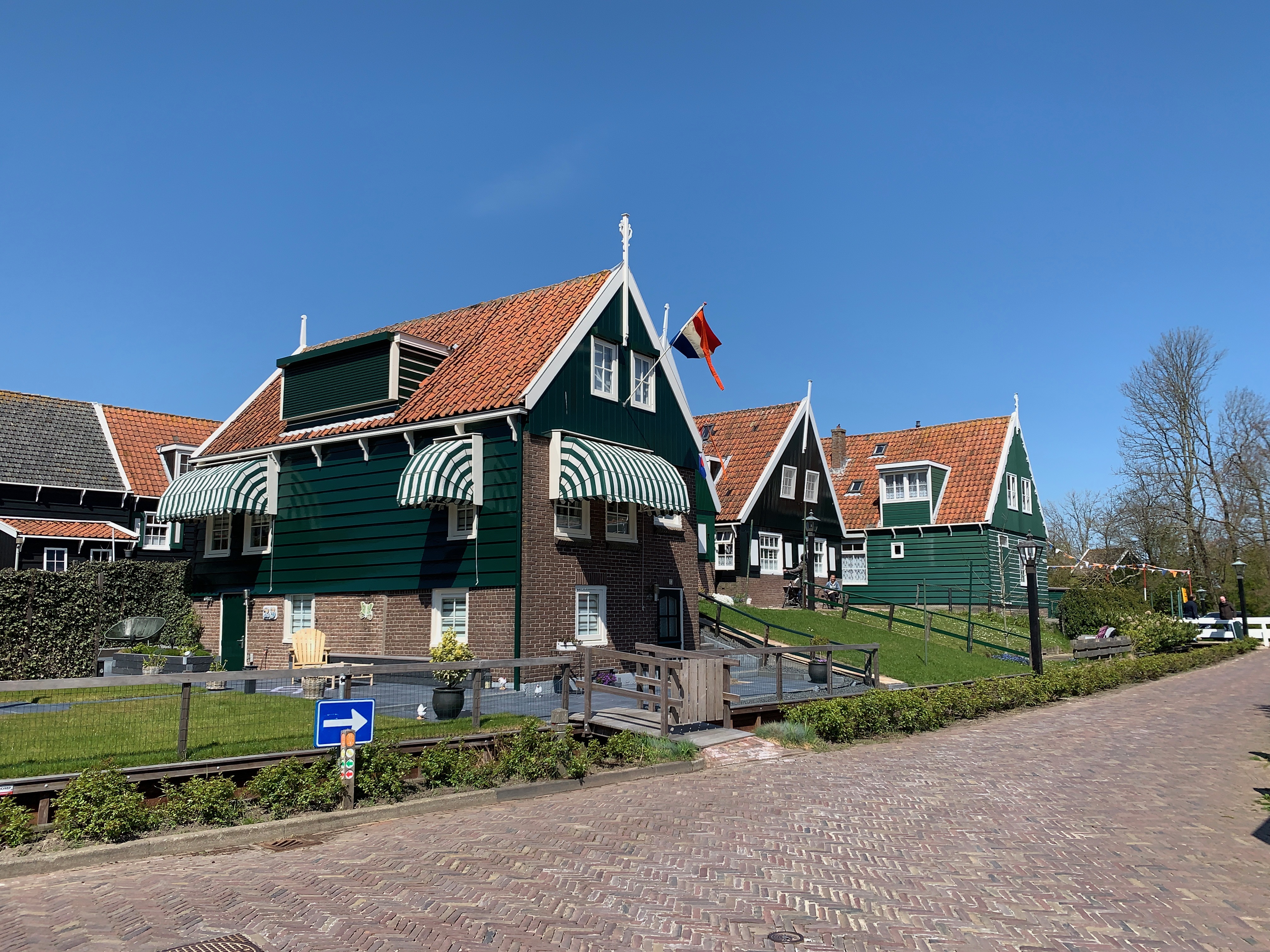
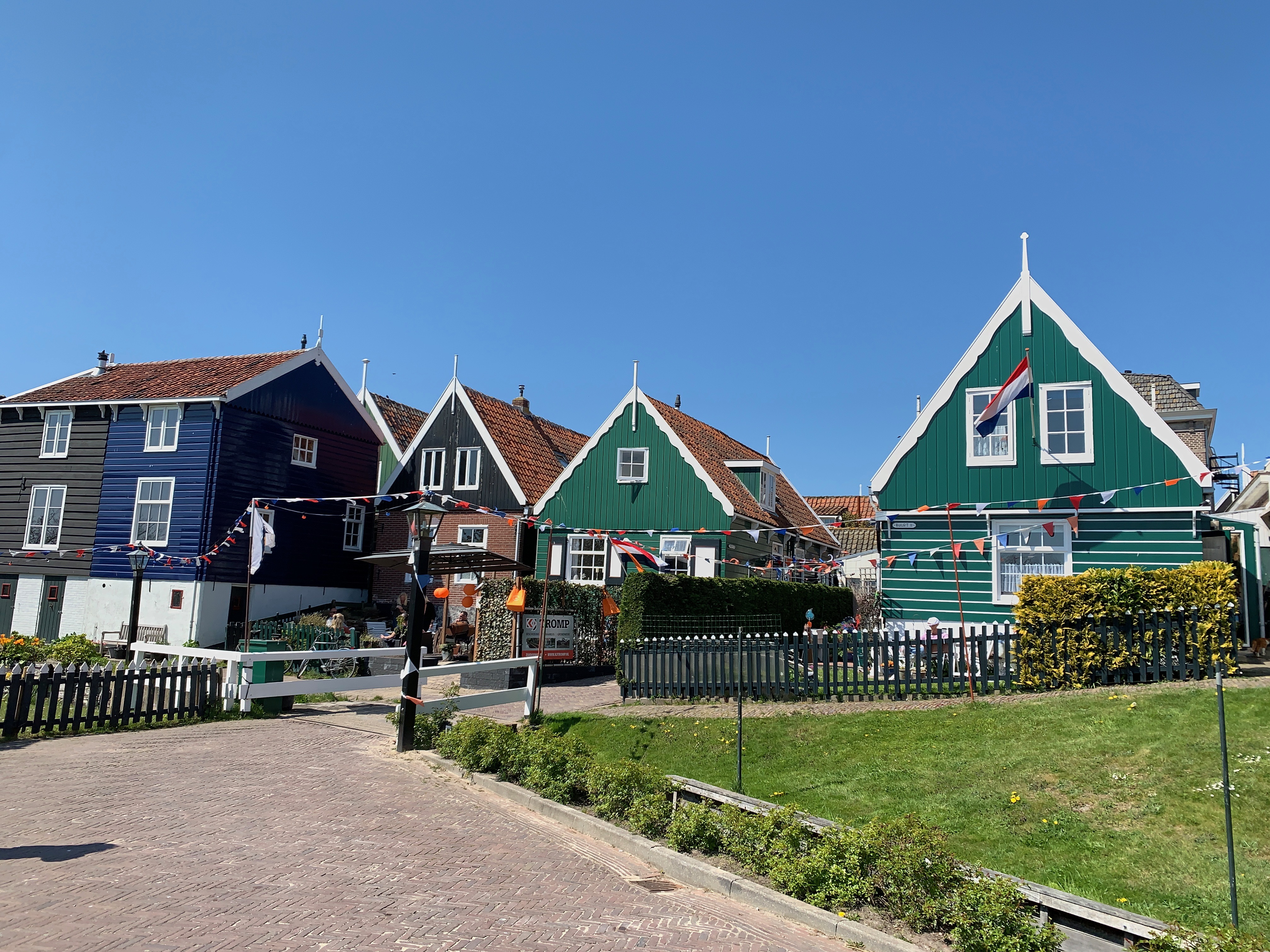
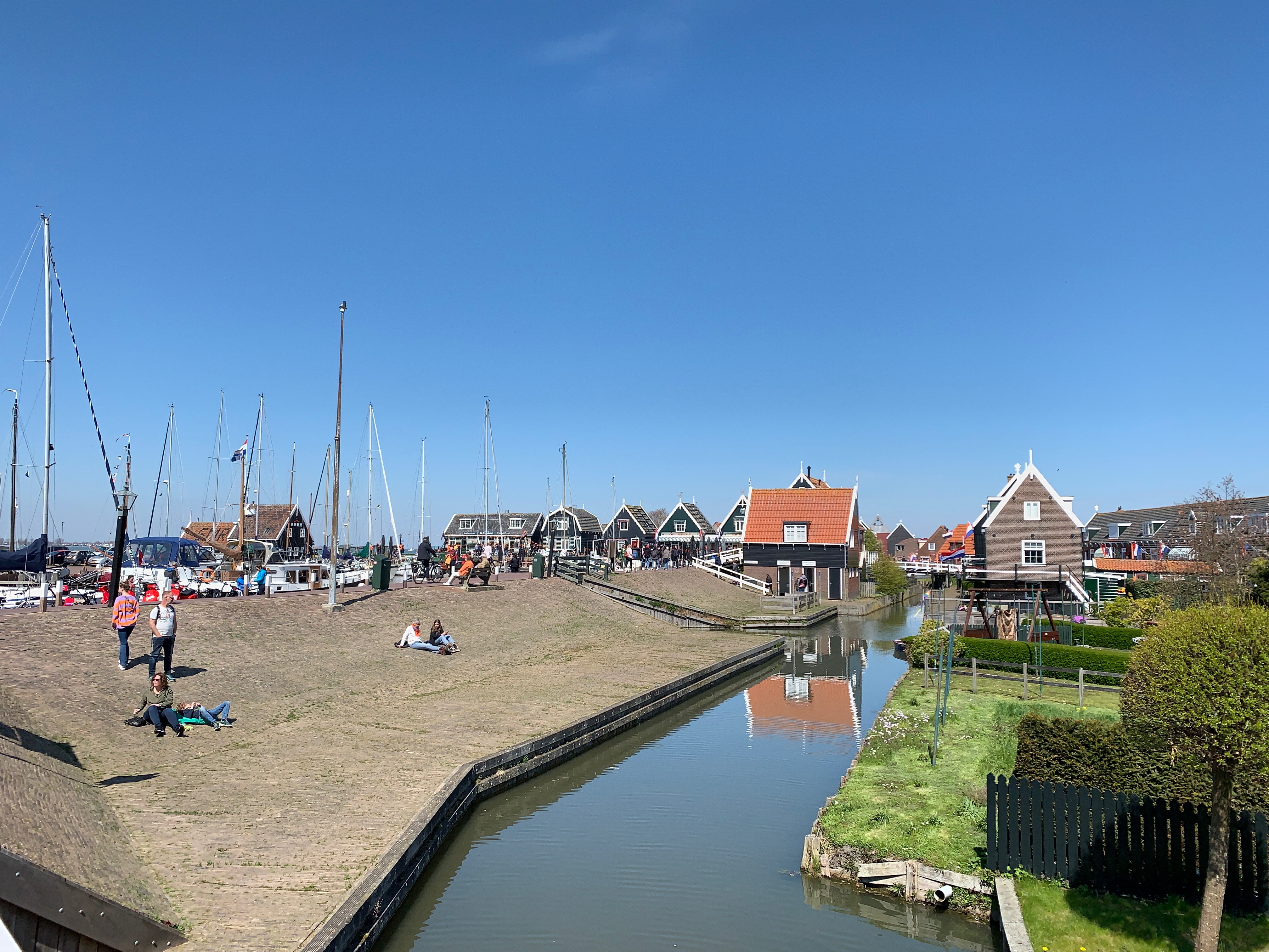
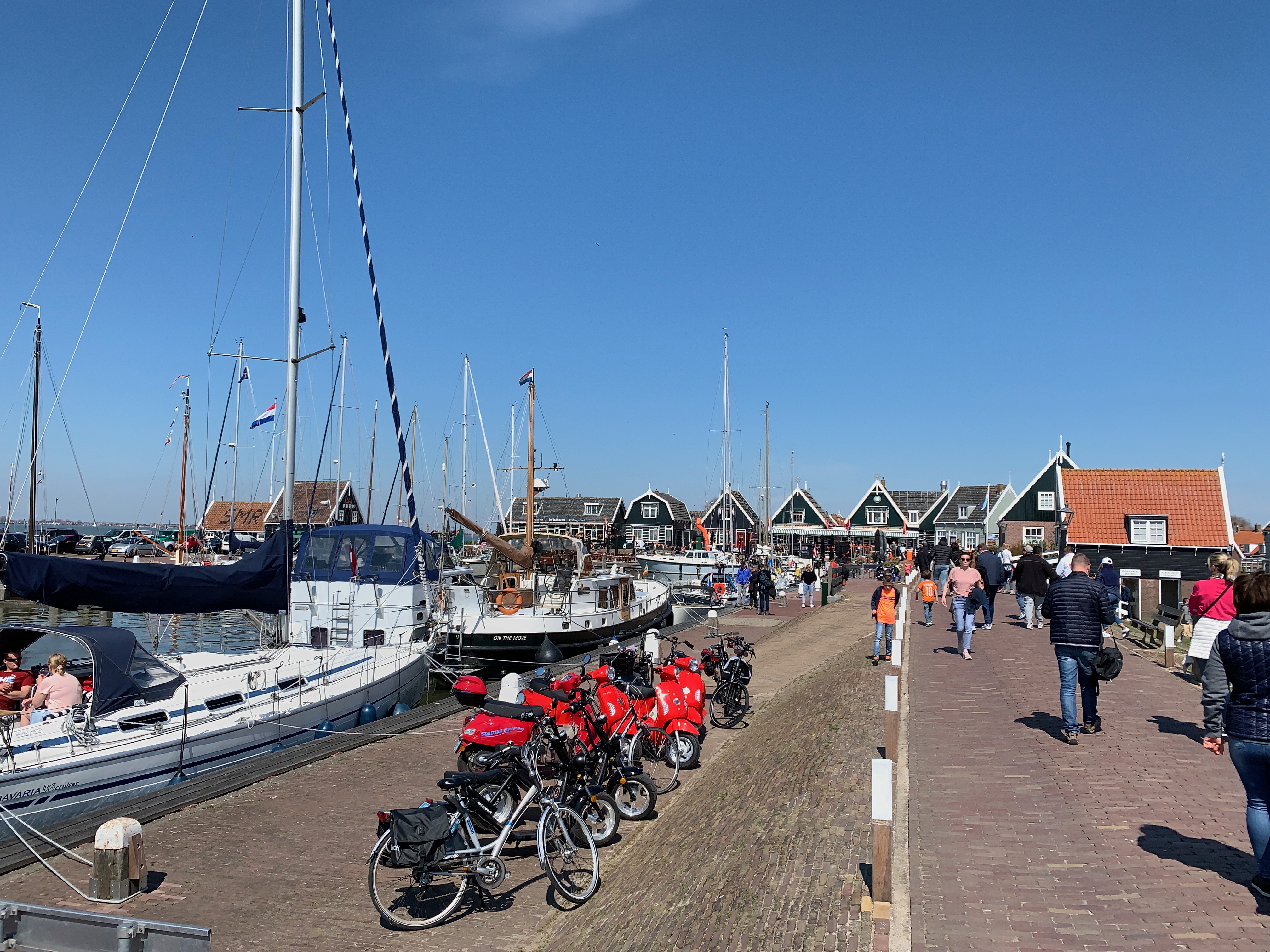
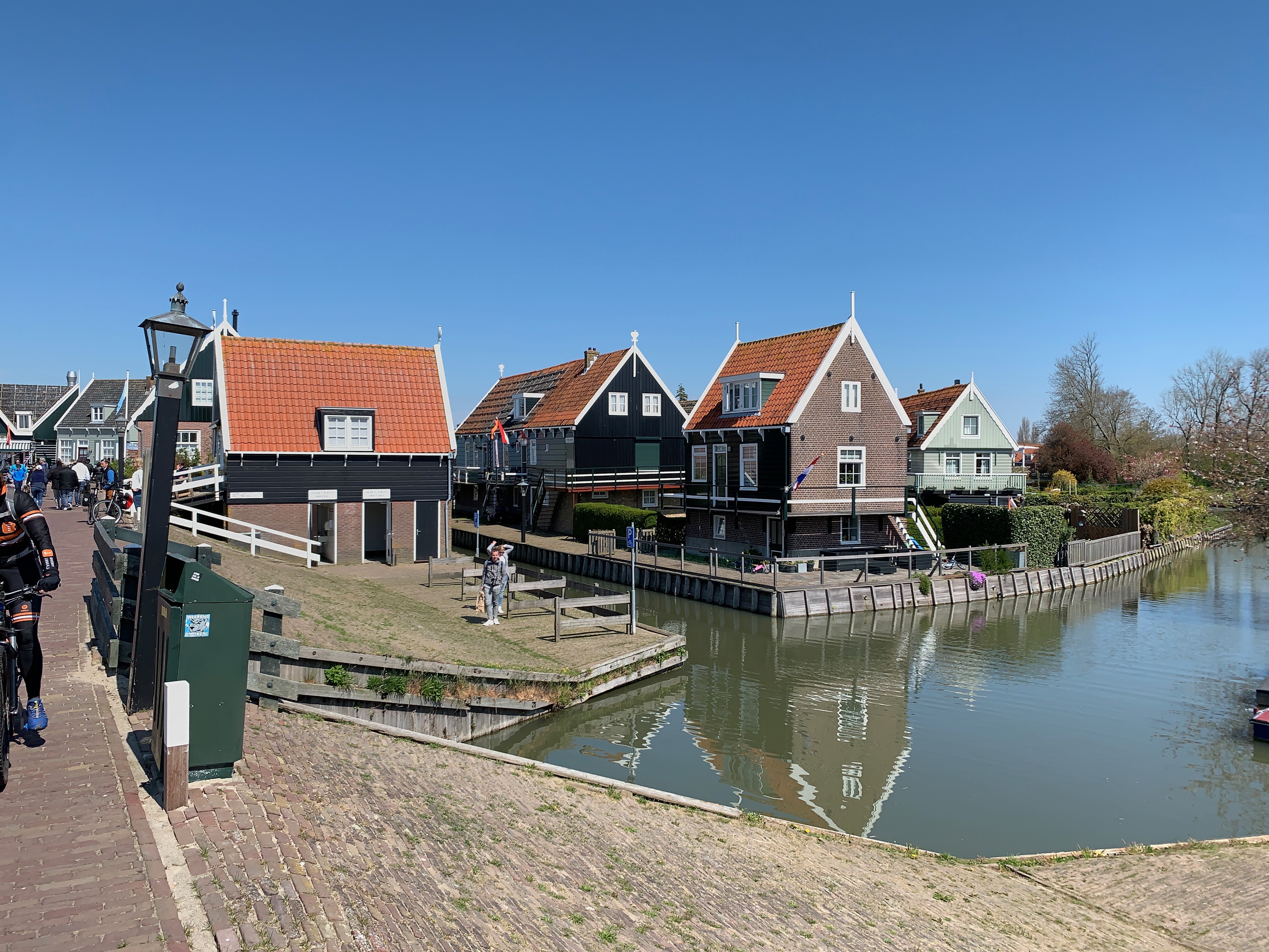
In the picturesque harbour of Marken you will be welcomed by the characteristic wooden green houses. The houses were clustered on artificial hills to protect the rising waters of the Zuiderzee. Around the harbour of Marken their are plenty of souvenir shops. Stroll along the authentic houses and take in the age-old culture that Marken has to offer. Also take a look at one of the traditionally decorated Marken houses.
Eat fresh fish at one of the fish stands at the harbour or visit a restaurant. At the oldest tavern in Marken you can enjoy a nice lunch or dinner. Enjoy the beautiful location in the harbour and look out over the Markermeer.
Visit the ‘Paard van Marken’ lighthouse
Since 1700 Marken has had its own lighthouse. Het 'Paard van Marken' is located on the easternmost tip of the island, on a sandy beach on the edge of the Markermeer. The current lighthouse ‘Paard van Marken’ was built in 1839.
The Great Church
When visiting Marken, the 'Grote Kerk' in the 'Kerkbuurt' is a sight and definitely worth a visit. This landmark in Marken was built in 1903 and 1904 to the design of A.H.L. Kups. The 'Grote Kerk' is a replacement of a 'Waterstaatskerk'. Some elements in the church are much older! The hexagonal pulpit, the reader, the chandeliers and a copper doubleblower date from the 17th century and are under the protection of the national monument status. The 'Grote Kerk' has been in use as a Protestant church since its opening.
Monument ‘The Wave'
In 1916, Marken and other villages on the Zuiderzee were hit by a dramatic sea aflood In 2016, the monument ‘The Wave’ was revealed in memory of the tragedy. The landmark in Marken portrays a wave at sea and encourages contemplation, awareness and encounter. The monument is located at the head of the southern harbour dam at the port of Marken, past the houses in the harbour area.
War Memorial
One last sight in Marken, which you must have seen, is the War Memorial. The monument stands at the 'Kerkbuurt' in memory of the victims of the Second World War. There is also a memorial next to the war monument. This reminds the inhabitants of Marken of the crash of a Short Stirling BK 710 plane, which happened in the night of 25 to 26 May 1943. The propeller blade on the memorial comes from the original Short Shirling BK710.
The estate
The entire Arcen estate has approximately 450 hectares and has been split into two parts since by N271 road. On the west side is the actual castle with castle gardens, on the east side is the Lingsfort area. The entire estate was bought in 1976 by the Limburg Landscape Foundation, and the castle was restored in the mid-1980s. Apart from the castle and the castle gardens, the estate nowadays mainly consists of a few forest types. Barbara's Weerd is also part of the estate; a piece of land along the Maas from Lomm to Arcen where today mainly Galloways graze.
Castle Arcen
The current Arcen Castle dates from the seventeenth century and was commissioned by the Duke of Gelre. It was built on the remains of the castle Het Nije Huis, which was destroyed in the past. Originally, in a slightly more northerly location, the first castle 'Het Huys t' Arssen 'from 1275 was located. The castle also houses the Koetshuys, the Oranjerie and a gatehouse with various spaces around a spacious castle courtyard. There is a rhododendron garden on the castle island.
't Koetshuys
The coach house was traditionally the garage for coaches and agricultural equipment. Later, this building was occupied by the Swiss painter Friedrich Deusser and became his studio. This can still be seen in the large window upstairs. There are also some oval windows in the facade. These small oval-shaped windows were widely used in the 17th century and are therefore characteristic of the building period of this building. Due to the resemblance to a cow's eye, they are called Oeil-de boeuf.
The park
Within the entire estate, the castle gardens cover an area of approximately 32 hectares. When designing the park, landscape architect Niek Roozen took into account the different seasons, resulting in the construction of eighteen different gardens divided into twelve themes. There is a Baroque Rosarium, with 10 themed rose rooms, more than 8,000 roses and a partly ancient berceau. The Water and Sculpture Garden includes an annually changing sculpture exhibition and collection of planted oaks. Het Lommerrijk contains various tree species and perennials such as lungwort, astilbe, daylilies and bulbous plants. There are also several streams and waterfalls.
De Vallei consists of a ribbon of various garden experiences; the Acer Garden contains a collection of Japanese Maples that turn flaming red in the fall and there is also a Bamboo Forest and Oriental Water Garden. The 'Casa Verde, a greenhouse of 3200 square meters, has a Mediterranean and tropical climate. The three climate zones provide a great diversity of plants and flowers. The first part is arranged as a tropical zone. The tropical plants often have large decorative leaves. There are banana trees, bird of paradise flowers, palms and special tree ferns. The second part is a Mediterranean zone. Trees and shrubs from the Mediterranean region such as the mastic tree, milkweed, rosemary, olive trees and strawberry trees grow here. The most striking tree is the ancient fig. The third zone is the arid zone. Plants from the drier regions of the world, such as tall Yuccas, cacti and succulents, grow here. A Koi pond is located on the boulevard in the Casa Verde.
In addition to different plants in the different gardens, there are also various animal species, black swan, cockatiel, guinea fowl, stork, koi, beluga sturgeon, spread over the different gardens.
The Open Air Museum (Nederlands Openluchtmuseum) in Arnhem, Netherlands, is an outdoor museum that showcases Dutch history, culture, and traditional architecture. It offers visitors a unique opportunity to step back in time and experience daily life in different periods of Dutch history.
The Open Air Museum covers a vast area of approximately 44 hectares and features various historical buildings, farms, and workshops that have been relocated from different parts of the Netherlands. These structures have been meticulously restored and furnished to depict different eras, from rural villages to industrial towns.
As you explore the museum, you can walk through the streets of the past, entering homes, schools, and workshops to get a sense of what life was like in earlier times. You can learn about traditional crafts and trades, such as blacksmithing, pottery, and printing, and interact with costumed interpreters who provide insights into the daily activities and traditions of the past.
The museum also hosts demonstrations, events, and workshops that allow visitors to actively engage with historical activities. For example, you may have the opportunity to bake bread in an old-fashioned bakery, participate in traditional dances, or try your hand at traditional crafts.
In addition to the historical buildings, the Open Air Museum features beautiful gardens, parklands, and natural landscapes. The museum's grounds provide a pleasant setting for a leisurely stroll or a picnic, and there are playgrounds for children to enjoy.
The Open Air Museum in Arnhem is located in the eastern part of the Netherlands and is easily accessible by car or public transportation. There is ample parking available on-site.
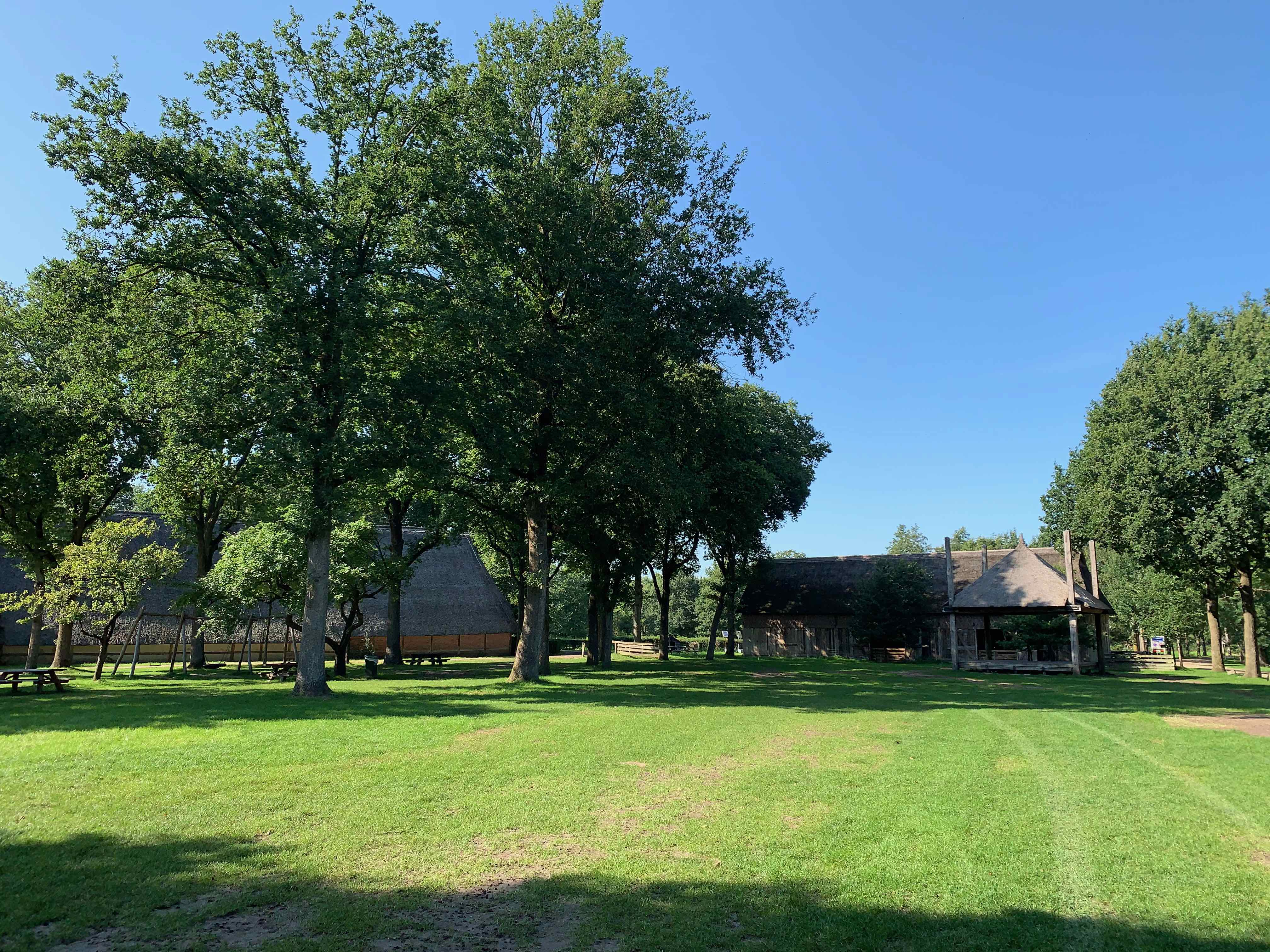
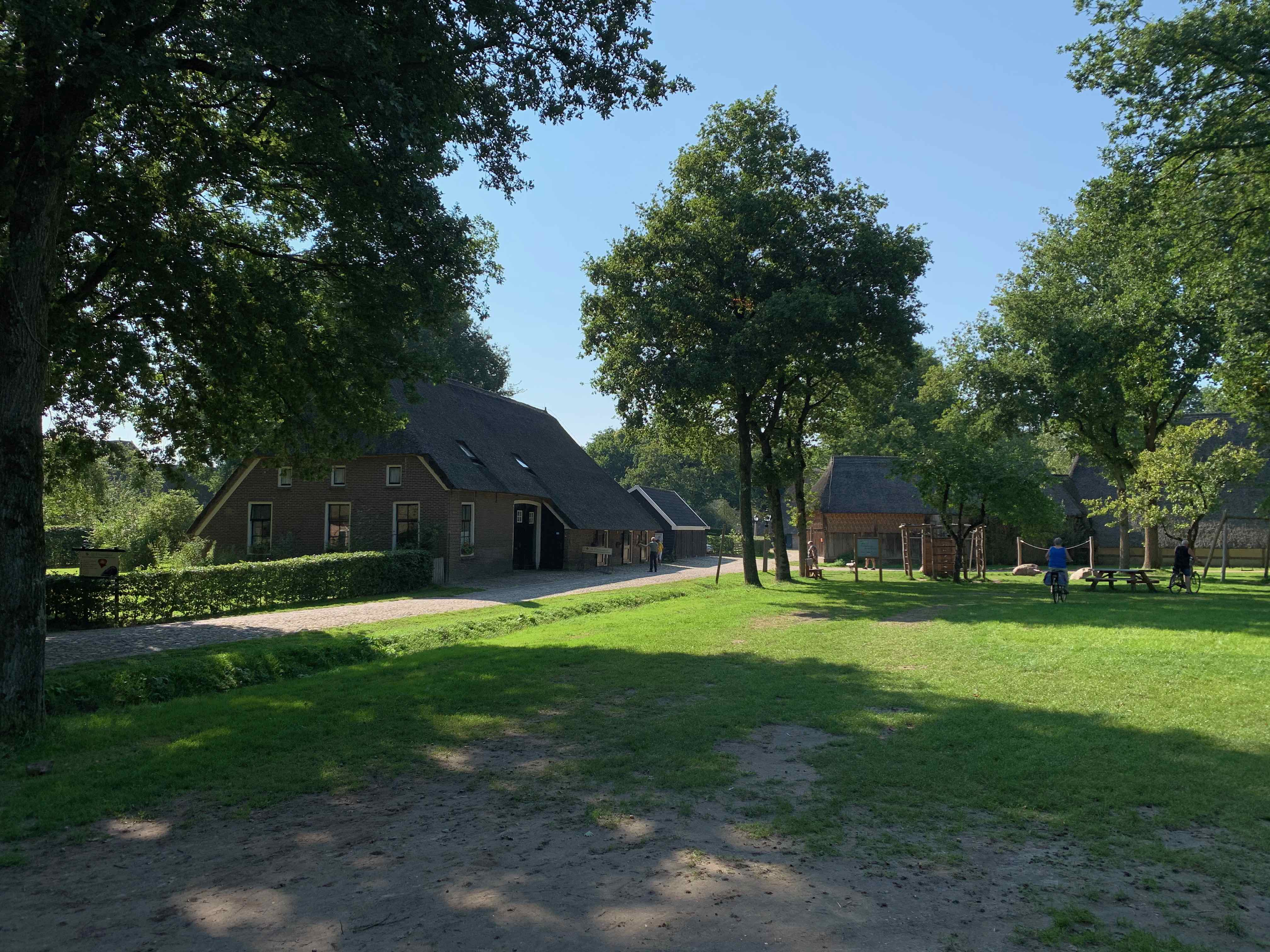
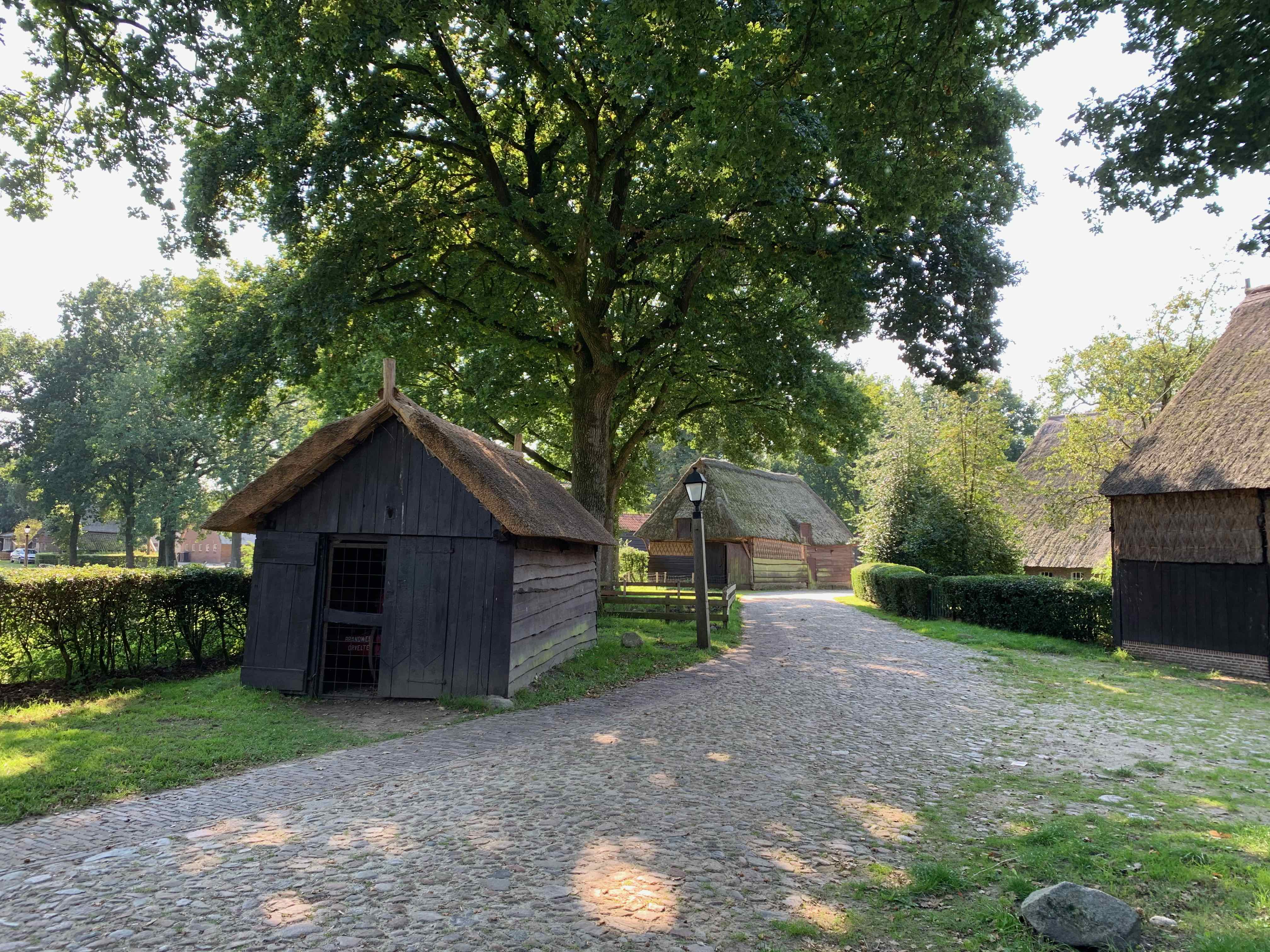
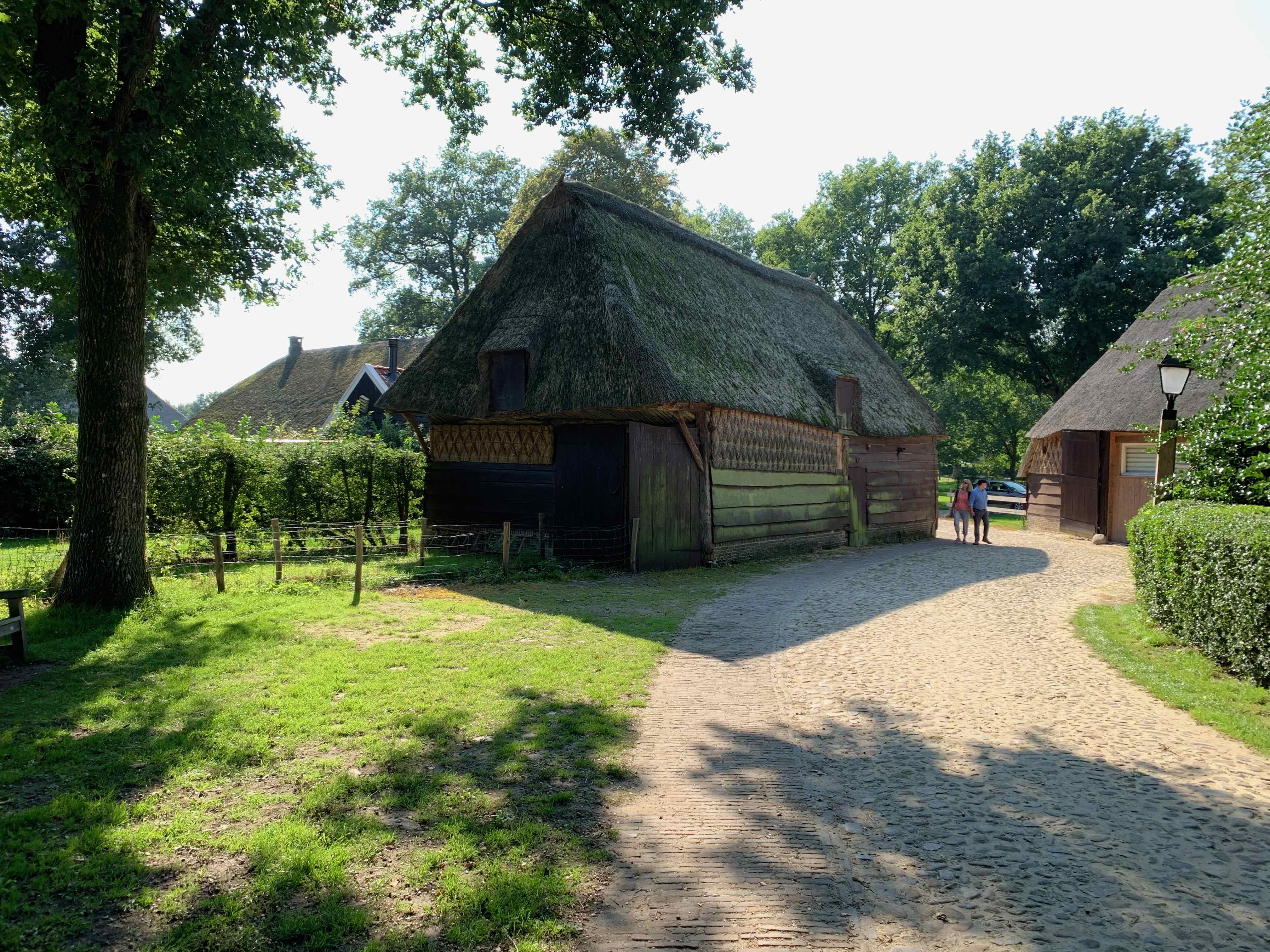
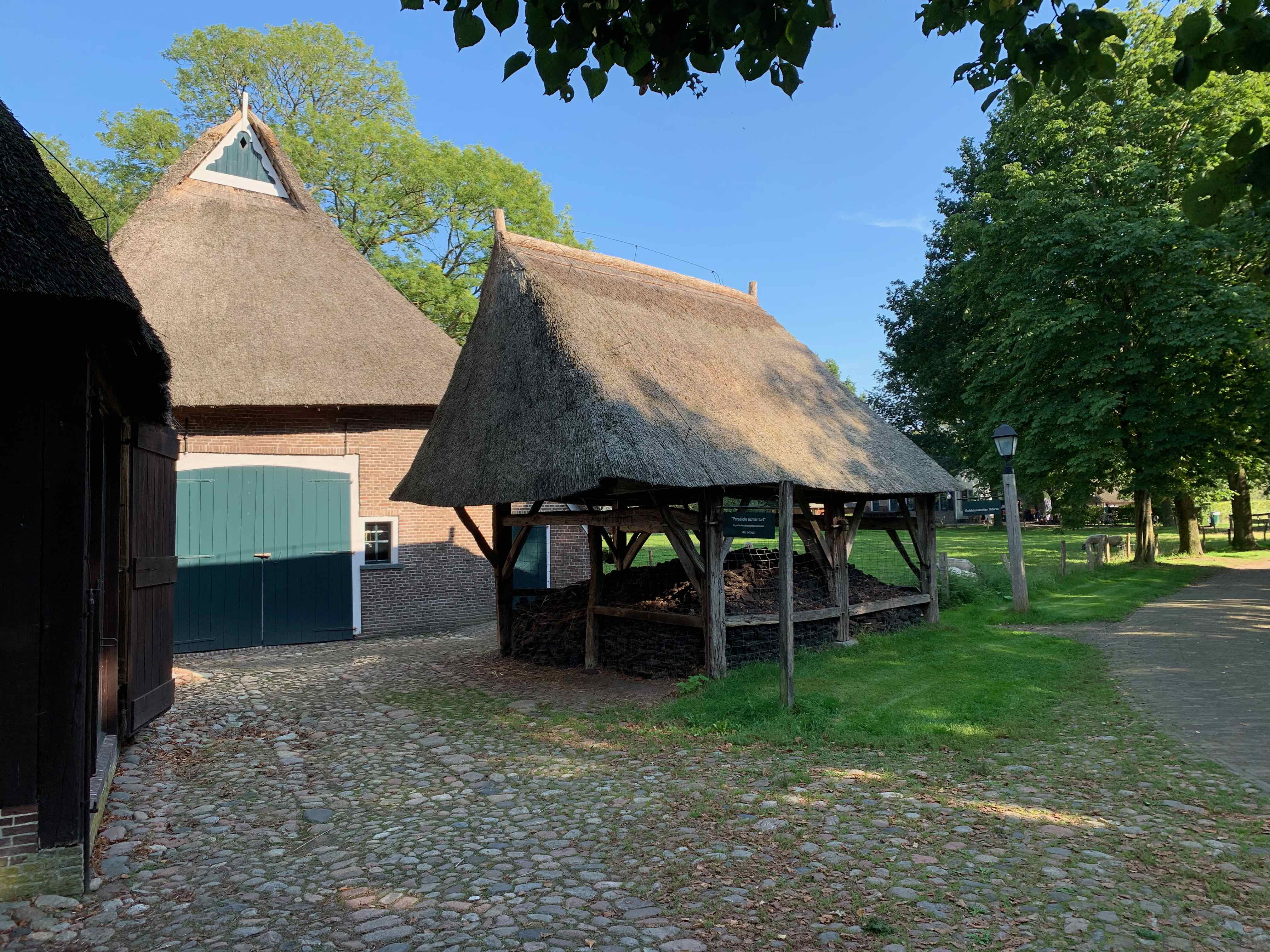
The monument village of Orvelte consists of a collection of halls – house farms and rustic buildings. The village still exudes the atmosphere of a 19th century Drenthe esdorp. In 1967 Orvelte received the status of protected townscape. Shortly after obtaining this status, the Orvelte Foundation was established in 1968. The Orvelte Foundation has purchased 64 monumental farms since its foundation. When the Orvelte Foundation ran into problems in 1999, 'Het Drentse Landschap' took care of the management of the properties. After extensive renovations of a large number of monuments, half of the farms have been converted for new uses. A music chapel has also been placed on the Brink and a former sheepfold has been set up as an information center for 'Het Drentse Landschap'. The 'Drentse Landschap' takes care of the monuments. The activities that take place in the village are in the hands of the local residents.
Iron Age farm
The finds of traces of habitation during the construction of the new "ring road" south of Orvelte gave archaeologists the idea of rebuilding an Iron Age farm. This era began circa 750 BC. and lasted until the beginning of the era. The starting point was the measurement of one of the floor plans of a farm that was found on the Hijkerveld.
Oak poles form the skeleton of the Orvelte farm. The walls are woven from twigs and covered with clay. There is reed on the roof. There is no chimney. The smoke from the fire just disappears through the thatched roof. Inside, the farm has one large space. Here the farming family lived together with their animals. It would take until the eighteenth century before a separation wall between the house and the business area was normal in Drenthe. In the Bruntingerhof, the oldest farm in the village of Orvelte, humans and animals still lived in one room in the beginning.
Rest area
You walk across the Rustveld, a heathland reclaimed into agricultural land. By having the area grazed, Staatsbosbeheer tries to give nature new opportunities here and thus reverse the effects of the exploitation. The Orvelter sheep herd runs regularly in this area. This herd has about 300 Schoonebeker heath sheep. The sheepfold can be found at the beginning of the Schapendrift in the village.
Sheep drift
Along the Schapendrift, the Scheper van Orvelte brought his flock to Ellertsveld to the north of the village. Shrubbery on both sides was to prevent the animals from feasting on the arable crop on the ash. To the left of the path is the Noordesch, divided about eight hectares
in more than fifty fields. Staatsbosbeheer started here years ago to re-sow the old arable crops. The main product is winter rye. In addition, potatoes, buckwheat, oats and fodder beets are grown. With these old crops, "old-fashioned" arable herbs such as cornflower, chamomile and corn lettuce also returned.
To the right of the Schapendrift are meadows that drain into the Orvelter stream. Further on on the Schapendrift you will pass the canalized stream.
Orange channel
In the mid-nineteenth century, a village like Orvelte was still completely dependent on Ellertsveld. A lot of sheep manure was needed for a fertile ash. To keep a large flock of sheep, you had to have a large field of heather at your disposal. You can imagine that the farmers watched the construction of the Oranjekanaal with sorrow.
Nevertheless, in 1853 the Drentsche Veen and the Midden Kanaal Maatschappij went to work full of enthusiasm. Within a few years they succeeded in constructing a canal from the Drentsche Hoofdvaart to the Bargervenen near Emmen. Economically, the channel has never been a success. There were too many locks and the Orange Canal turned out to be too shallow!
Ellertsveld
The endless Ellertsveld used to extend here, now the potato field is as far as the eye can see. The field lost its function as a "mineral reservoir" when fertilizers took over the role of sheep manure. After that, it took quite a few years before the Ellertsveld became interesting for investors. This part of the field was not mined until after the Second World War.
Orvelterzand
The Orvelterzand is a remnant of the Ellertsveld. When 'Stichting Het Drentse Landschap' acquired the site in the early 1970s, it was decided to put an end to the afforestation of the heathland by allowing sheep and later Scottish highlanders to graze. Walking across the Orvelterzand you can clearly see that the grazers make a valuable contribution to maintaining a heather landscape.The part of the Orvelterzand through which the route runs has developed over the years into a beautiful tree heather.In some places it is still clearly visible where the Orvelterzand owes its name: open drifting sand still occurs on a small scale. In the past, the sand was loosened by sheep hooves and the cutting of heather layers. Now it is mainly the cattle that keep kicking the vegetation open again.
Production forest on the heath
The route shows very nicely what happened to the large quiet Drenthe heath. Part of it was reclaimed as agricultural land. You saw it at the Oranjekanaal. Another part was too bad, too sandy and too hilly, like the Orvelterzand. And for the land that was not suitable agricultural land, but too good to pass up, building a production forest with pine, spruce and larch was a good option. You will see such a forest of Staatsbosbeheer on the left.
Bruntingerhof
Of the seventeen farms that the village used to have, eight have been preserved. Part of the village has been rebuilt with old buildings elsewhere from Drenthe. The largest and oldest farm in the village is the Bruntingerhof. This half-timbered farmhouse was moved here in 1968 from Bruntinge with parts dating back to around 1650.
Sluis was probably founded around 1260 by the Flemish count Jan I van Namen and originally had the name Lamminsvliet. In 1324, however, Sluis got its current name. The city owes its origin to the silting up of the Zwin. As a result, the direct connection of the important commercial city of Bruges with the sea was blocked and Sluis became the most important outer port of Bruges. In 1290 the village already received city rights and due to its strategic location the city became a fortified city in 1382. In 1340 the Battle of Sluis had already taken place in the mouth of the Zwin, which formed the prelude to the Hundred Years' War. In 1385 the construction of the Castle of Sluis was started, which was heavily damaged during the French invasion in 1794 and finally demolished in 1820.
The town of Sluis was largely destroyed by Allied bombing in 1944. The unique Belfry was also completely destroyed. However, the center has been rebuilt and the ramparts have remained intact.
Cadzand is a small coastal town located in the province of Zeeland in the Netherlands, near the border with Belgium. It is situated on the North Sea coast and is known for its beautiful beaches, dunes, and nature reserves.
Cadzand is a popular destination for beachgoers, water sports enthusiasts, and nature lovers. The town's long, sandy beach is ideal for swimming, sunbathing, and relaxing, while the nearby dunes and nature reserves offer opportunities for hiking, cycling, and birdwatching.
Cadzand is also known for its seafood, with many local restaurants serving fresh fish and shellfish caught in the North Sea. Visitors can also explore the town's historic center, which features a number of charming shops, cafes, and galleries.
One of the main attractions in Cadzand is the Zwin nature reserve, which is located just outside the town. The reserve is a haven for migratory birds and is home to a wide range of flora and fauna. Visitors can take guided tours of the reserve, or explore the area on their own using the many walking and cycling trails.
Overall, Cadzand is a beautiful and relaxing destination that offers a perfect blend of natural beauty, outdoor activities, and cultural attractions. Whether you are looking for a day trip or a longer vacation, Cadzand is definitely worth a visit.